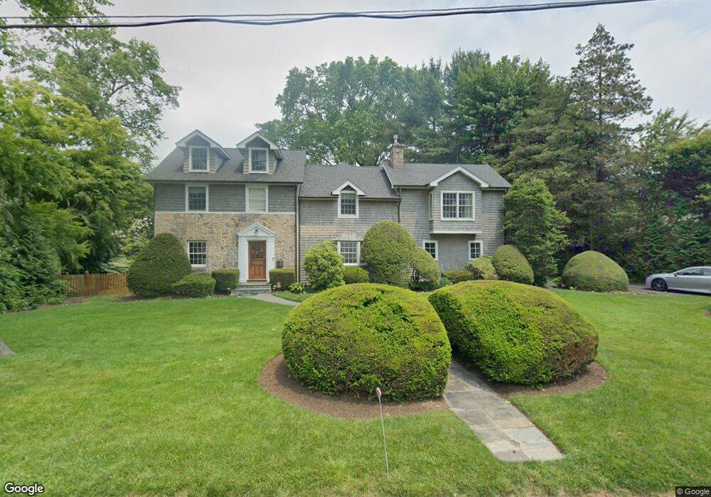
160 Balmforth St Bridgeport, CT 06605
Black Rock NeighborhoodEstimated Value: $1,063,000 - $1,585,000
3
Beds
4
Baths
3,653
Sq Ft
$343/Sq Ft
Est. Value
About This Home
This home is located at 160 Balmforth St, Bridgeport, CT 06605 and is currently estimated at $1,253,338, approximately $343 per square foot. 160 Balmforth St is a home located in Fairfield County with nearby schools including Black Rock School, Bassick High School, and Park City Prep Charter School.
Ownership History
Date
Name
Owned For
Owner Type
Purchase Details
Closed on
Aug 7, 2012
Sold by
Bartolone John
Bought by
Bartolone Arlette
Current Estimated Value
Home Financials for this Owner
Home Financials are based on the most recent Mortgage that was taken out on this home.
Original Mortgage
$103,000
Interest Rate
3.76%
Purchase Details
Closed on
Sep 22, 1994
Sold by
Ltic Assoc Inc
Bought by
Bartolone John B and Bartolone Elizabeth A
Create a Home Valuation Report for This Property
The Home Valuation Report is an in-depth analysis detailing your home's value as well as a comparison with similar homes in the area
Home Values in the Area
Average Home Value in this Area
Purchase History
| Date | Buyer | Sale Price | Title Company |
|---|---|---|---|
| Bartolone Arlette | -- | -- | |
| Bartolone Arlette | -- | -- | |
| Bartolone John B | $208,000 | -- | |
| Bartolone John B | $208,000 | -- |
Source: Public Records
Mortgage History
| Date | Status | Borrower | Loan Amount |
|---|---|---|---|
| Closed | Bartolone John B | $103,000 | |
| Previous Owner | Bartolone John B | $145,000 | |
| Previous Owner | Bartolone John B | $25,000 |
Source: Public Records
Tax History
| Year | Tax Paid | Tax Assessment Tax Assessment Total Assessment is a certain percentage of the fair market value that is determined by local assessors to be the total taxable value of land and additions on the property. | Land | Improvement |
|---|---|---|---|---|
| 2025 | $18,728 | $431,034 | $176,180 | $254,854 |
| 2024 | $18,728 | $431,034 | $176,180 | $254,854 |
| 2023 | $18,728 | $431,034 | $176,180 | $254,854 |
| 2022 | $18,728 | $431,034 | $176,180 | $254,854 |
| 2021 | $18,728 | $431,034 | $176,180 | $254,854 |
| 2020 | $21,137 | $391,507 | $179,147 | $212,360 |
| 2019 | $23,486 | $435,010 | $199,050 | $235,960 |
| 2018 | $23,651 | $435,010 | $199,050 | $235,960 |
| 2017 | $23,651 | $435,010 | $199,050 | $235,960 |
| 2016 | $23,651 | $435,010 | $199,050 | $235,960 |
| 2015 | $19,762 | $468,290 | $158,430 | $309,860 |
| 2014 | $19,762 | $468,290 | $158,430 | $309,860 |
Source: Public Records
Map
Nearby Homes
- 315 Seaside Ave
- 97 Fayerweather Terrace
- 377 Midland St
- 90 Clarkson St
- 132 Gilman St
- 361 Riverside Dr
- 318 Grovers Ave
- 65 Ellsworth St Unit 302
- 554 Brewster St Unit 4
- 27 Nash Ln Unit 5
- 3250 Fairfield Ave Unit 302
- 20 Haddon St Unit 5
- 165 Bennett St
- 37 Rowsley St Unit 6
- 78 Rowsley St Unit 4
- 98 Cambridge St
- 117 Nash Ln
- 855 Brewster St Unit 857
- 148 Alfred St
- 855 Riverside Dr
- 63 Pearsall Way
- 81 Pearsall Way
- 152 Balmforth St
- 175 Balmforth St
- 128 Balmforth St
- 135 Balmforth St
- 101 Pearsall Way
- 227 Hilltop Rd
- 15 Pearsall Way
- 31 Pearsall Way
- 92 Balmforth St
- 180 Sailors Ln
- 225 Hilltop Rd
- 197 Pearsall Place
- 220 Balmforth St
- 50 Pearsall Way
- 20 Sailors Ln
- 140 Sailors Ln
- 45 Pearsall Way
- 207 Pearsall Place
Your Personal Tour Guide
Ask me questions while you tour the home.