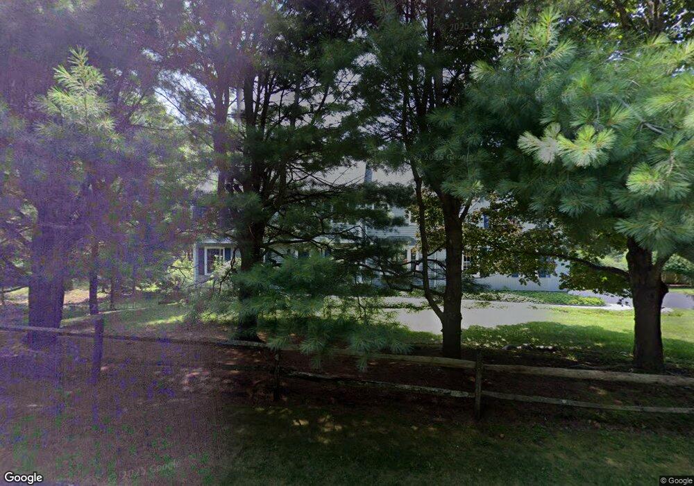
160 Bar Gate Trail Killingworth, CT 06419
Estimated Value: $685,000 - $856,000
4
Beds
3
Baths
2,826
Sq Ft
$261/Sq Ft
Est. Value
About This Home
This home is located at 160 Bar Gate Trail, Killingworth, CT 06419 and is currently estimated at $738,970, approximately $261 per square foot. 160 Bar Gate Trail is a home located in Middlesex County with nearby schools including Haddam-Killingworth High School.
Ownership History
Date
Name
Owned For
Owner Type
Purchase Details
Closed on
Jan 7, 2002
Sold by
Cl Kenney & Son Inc
Bought by
Freeman Paul S
Current Estimated Value
Home Financials for this Owner
Home Financials are based on the most recent Mortgage that was taken out on this home.
Original Mortgage
$270,250
Interest Rate
6.72%
Create a Home Valuation Report for This Property
The Home Valuation Report is an in-depth analysis detailing your home's value as well as a comparison with similar homes in the area
Home Values in the Area
Average Home Value in this Area
Purchase History
| Date | Buyer | Sale Price | Title Company |
|---|---|---|---|
| Freeman Paul S | $337,825 | -- |
Source: Public Records
Mortgage History
| Date | Status | Borrower | Loan Amount |
|---|---|---|---|
| Open | Freeman Paul S | $360,000 | |
| Closed | Freeman Paul S | $73,200 | |
| Closed | Freeman Paul S | $374,000 | |
| Closed | Freeman Paul S | $270,250 |
Source: Public Records
Tax History Compared to Growth
Tax History
| Year | Tax Paid | Tax Assessment Tax Assessment Total Assessment is a certain percentage of the fair market value that is determined by local assessors to be the total taxable value of land and additions on the property. | Land | Improvement |
|---|---|---|---|---|
| 2025 | $8,245 | $314,440 | $74,200 | $240,240 |
| 2024 | $7,616 | $314,440 | $74,200 | $240,240 |
| 2023 | $7,380 | $314,440 | $74,200 | $240,240 |
| 2022 | $7,301 | $314,440 | $74,200 | $240,240 |
| 2021 | $7,164 | $268,110 | $84,690 | $183,420 |
| 2020 | $7,164 | $268,110 | $84,690 | $183,420 |
| 2019 | $7,365 | $268,110 | $84,690 | $183,420 |
| 2018 | $7,365 | $268,110 | $84,690 | $183,420 |
| 2017 | $7,365 | $268,110 | $84,690 | $183,420 |
| 2016 | $7,325 | $282,930 | $123,720 | $159,210 |
| 2015 | $7,138 | $282,930 | $123,720 | $159,210 |
| 2014 | $6,940 | $282,930 | $123,720 | $159,210 |
Source: Public Records
Map
Nearby Homes
- 48 Bar Gate Trail
- 132 Summer Hill Rd
- 174 Concord Dr
- 30 Chestnut Hill Rd
- 728 Durham Rd
- 197 Concord Dr
- 677 Durham Rd
- 48 Shepherds Trail
- 23 Horsebarn Ln
- 40 Legend Hill Rd
- 20 Strawberry Hill Rd
- 1071 Durham Rd
- 462 Horse Pond Rd
- 454 Horse Pond Rd Unit B
- 454 Horse Pond Rd Unit D
- 454 Horse Pond Rd Unit C
- 25 Copperstone Ln
- 60 Robin Ridge Dr
- 39 Stepping Stone Ln
- 115 Hemlock Dr
- 145 Chestnut Hill Rd
- 153 Bar Gate Trail
- 158 Chestnut Hill Rd
- 152 Chestnut Hill Rd
- 1 Stone Pasture Ln
- 166 Chestnut Hill Rd
- 156 Chestnut Hill Rd
- 143 Bar Gate Trail
- 172 Chestnut Hill Rd
- 8 Running Brook Dr
- 5 Stone Pasture Ln
- 154 Chestnut Hill Rd
- 173 Chestnut Hill Rd
- 6 Stone Pasture Ln
- 174 Chestnut Hill Rd
- 22 Running Brook Dr
- 138 Chestnut Hill Rd
- 141 Bar Gate Trail
- 135 Bar Gate Trail
- 26 Running Brook Dr