Estimated Value: $232,000 - $388,000
3
Beds
2
Baths
1,512
Sq Ft
$191/Sq Ft
Est. Value
About This Home
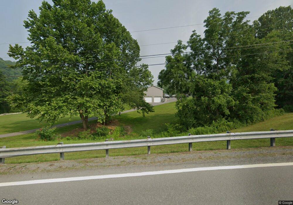
This home is located at 160 Buckeye Rd, Core, WV 26541 and is currently estimated at $289,272, approximately $191 per square foot. 160 Buckeye Rd is a home with nearby schools including Mason-Dixon Elementary School and Clay-Battelle Middle/High School.
Ownership History
Date
Name
Owned For
Owner Type
Purchase Details
Closed on
Jul 1, 2025
Sold by
Tennant Thaddeus Michael
Bought by
Tennant Thaddeus Michael and Tennant Kayla
Current Estimated Value
Home Financials for this Owner
Home Financials are based on the most recent Mortgage that was taken out on this home.
Original Mortgage
$85,640
Outstanding Balance
$85,045
Interest Rate
6.81%
Mortgage Type
New Conventional
Estimated Equity
$204,227
Purchase Details
Closed on
Sep 26, 2016
Sold by
Tennant Thaddeus Michael
Bought by
Tennant Thaddeus Michael
Home Financials for this Owner
Home Financials are based on the most recent Mortgage that was taken out on this home.
Original Mortgage
$91,644
Interest Rate
3.37%
Mortgage Type
FHA
Purchase Details
Closed on
Jun 22, 2010
Sold by
Lapoe Allen V and Lapoe Yvonne L
Bought by
Lapoe Allen and Lapoe Cook Yvonne L
Create a Home Valuation Report for This Property
The Home Valuation Report is an in-depth analysis detailing your home's value as well as a comparison with similar homes in the area
Purchase History
| Date | Buyer | Sale Price | Title Company |
|---|---|---|---|
| Tennant Thaddeus Michael | -- | 2020 Title Llc | |
| Tennant Thaddeus Michael | -- | 2020 Title Llc | |
| Tennant Thaddeus Michael | -- | Timios Inc | |
| Lapoe Allen | -- | None Available |
Source: Public Records
Mortgage History
| Date | Status | Borrower | Loan Amount |
|---|---|---|---|
| Open | Tennant Thaddeus Michael | $85,640 | |
| Previous Owner | Tennant Thaddeus Michael | $91,644 |
Source: Public Records
Tax History
| Year | Tax Paid | Tax Assessment Tax Assessment Total Assessment is a certain percentage of the fair market value that is determined by local assessors to be the total taxable value of land and additions on the property. | Land | Improvement |
|---|---|---|---|---|
| 2025 | $1,122 | $104,980 | $25,360 | $79,620 |
| 2024 | $1,122 | $105,820 | $25,360 | $80,460 |
| 2023 | $1,128 | $105,820 | $25,360 | $80,460 |
| 2022 | $1,003 | $97,900 | $18,100 | $79,800 |
| 2021 | $1,008 | $97,900 | $18,100 | $79,800 |
| 2020 | $1,013 | $97,900 | $18,100 | $79,800 |
| 2019 | $447 | $42,940 | $12,700 | $30,240 |
| 2018 | $449 | $42,940 | $12,700 | $30,240 |
| 2017 | $449 | $42,760 | $12,040 | $30,720 |
| 2016 | $513 | $48,480 | $17,100 | $31,380 |
| 2015 | $962 | $47,580 | $15,720 | $31,860 |
| 2014 | $906 | $46,980 | $15,060 | $31,920 |
Source: Public Records
Map
Nearby Homes
- TBD Fawn Meadow Dr
- 96 Dunkard Valley Blvd
- 135 Fawn Meadow Dr
- 135 Virginia St
- TBD Mount Morris Rd
- 322 Wilson Rd
- 108 Caddie Ct
- 143 Tee Dr
- 426 Oakmont Ct
- 109 Tee Dr
- 145 Eagle Dr
- 504 Watson Dr
- 494 Watson Dr
- 924 Bunker Ct
- 918 Bunker Ct
- 916 Bunker Ct
- 104 Eagle Dr
- Parcel B Guston Run Rd
- Parcel A Guston Run Rd
- Parcel C Guston Run Rd
- 3 Amrita Dr
- 266 Buckeye Rd
- 281 Buckeye Rd
- 172 Buckeye Rd
- 471 Buckeye Rd
- 1 Amrita Dr
- 363 Buckeye Rd
- 347 Buckeye Rd
- 377 Buckeye Rd
- 406 Buckeye Rd
- 3158 Mason Dixon Hwy
- 3124 Mason Dixon Hwy
- 373 Buckeye Rd
- 3118 Mason Dixon Hwy
- 3230 Mason Dixon Hwy
- 3206 Mason Dixon Hwy
- 3064 Mason Dixon Hwy
- 482 Buckeye Rd
- 441 Buckeye Rd
- 3252 Mason Dixon Hwy
Your Personal Tour Guide
Ask me questions while you tour the home.