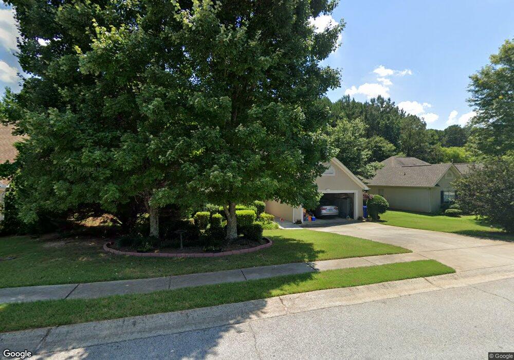
160 Cannon Dr Fayetteville, GA 30214
Estimated Value: $263,216 - $336,000
--
Bed
2
Baths
1,500
Sq Ft
$200/Sq Ft
Est. Value
About This Home
This home is located at 160 Cannon Dr, Fayetteville, GA 30214 and is currently estimated at $300,304, approximately $200 per square foot. 160 Cannon Dr is a home located in Fayette County with nearby schools including Spring Hill Elementary School, Bennett's Mill Middle School, and Fayette County High School.
Ownership History
Date
Name
Owned For
Owner Type
Purchase Details
Closed on
Sep 24, 2002
Sold by
Flurbee Dianne R
Bought by
Williams Rogina A
Current Estimated Value
Home Financials for this Owner
Home Financials are based on the most recent Mortgage that was taken out on this home.
Original Mortgage
$144,500
Outstanding Balance
$60,713
Interest Rate
6.19%
Mortgage Type
New Conventional
Estimated Equity
$239,591
Purchase Details
Closed on
Nov 30, 1999
Sold by
Caldwell Thomas H
Bought by
Furbee Dianne R
Purchase Details
Closed on
Feb 26, 1997
Sold by
Beta Constr
Bought by
Caldwell Mary
Purchase Details
Closed on
Oct 10, 1996
Sold by
Hutto Jan T
Bought by
Beta Const
Create a Home Valuation Report for This Property
The Home Valuation Report is an in-depth analysis detailing your home's value as well as a comparison with similar homes in the area
Home Values in the Area
Average Home Value in this Area
Purchase History
| Date | Buyer | Sale Price | Title Company |
|---|---|---|---|
| Williams Rogina A | $144,500 | -- | |
| Furbee Dianne R | $112,000 | -- | |
| Caldwell Mary | $108,200 | -- | |
| Beta Const | $19,500 | -- |
Source: Public Records
Mortgage History
| Date | Status | Borrower | Loan Amount |
|---|---|---|---|
| Open | Williams Rogina A | $144,500 | |
| Closed | Beta Const | $0 |
Source: Public Records
Tax History Compared to Growth
Tax History
| Year | Tax Paid | Tax Assessment Tax Assessment Total Assessment is a certain percentage of the fair market value that is determined by local assessors to be the total taxable value of land and additions on the property. | Land | Improvement |
|---|---|---|---|---|
| 2024 | $1,094 | $110,348 | $18,000 | $92,348 |
| 2023 | $794 | $95,440 | $18,000 | $77,440 |
| 2022 | $926 | $91,440 | $18,000 | $73,440 |
| 2021 | $794 | $79,040 | $18,000 | $61,040 |
| 2020 | $707 | $69,080 | $12,000 | $57,080 |
| 2019 | $687 | $66,520 | $12,000 | $54,520 |
| 2018 | $1,898 | $63,440 | $9,600 | $53,840 |
| 2017 | $1,706 | $59,240 | $9,600 | $49,640 |
| 2016 | $1,425 | $48,840 | $9,600 | $39,240 |
| 2015 | $1,344 | $45,440 | $9,600 | $35,840 |
| 2014 | -- | $41,560 | $9,600 | $31,960 |
| 2013 | -- | $41,560 | $0 | $0 |
Source: Public Records
Map
Nearby Homes
- 225 Buckeye Ln Unit 2
- 120 Woodland Rd
- 210 Rosewood Dr
- 250 Mimosa Dr
- 145 Holly Hill Rd
- 125 Woodland Rd Unit LOT 2
- 125 Woodland Rd Unit LOT 1
- 265 Allenwood Rd
- 855 E Lanier Ave
- 1115 Highway 54 E
- 1119 Highway 54 E
- 1202 Highway 54 E
- 500 Circle Dr
- 595 E Lanier Ave
- 225 Banks Rd
- 145 Devilla Trace Unit 3
- 250 Jeff Davis Place
- 185 Central Ave
- 310 Autumn Glen Cir
- 250 Devilla Trace
- 170 Cannon Dr
- 150 Cannon Dr
- 105 Cannon Ct
- 180 Cannon Dr
- 140 Cannon Dr
- 0 Cannon Dr Unit 8690747
- 0 Cannon Dr Unit 8073065
- 0 Cannon Dr Unit 7274059
- 0 Cannon Dr Unit 3248193
- 0 Cannon Dr Unit 7017825
- 0 Cannon Dr Unit 7208725
- 0 Cannon Dr Unit 7463812
- 0 Cannon Dr Unit 8063093
- 0 Cannon Dr Unit 8331655
- 0 Cannon Dr Unit 8641523
- 0 Cannon Dr Unit 7
- 165 Cannon Dr
- 145 Cannon Dr
- 0 Cannon Ct Unit 7137653
- 130 Cannon Dr