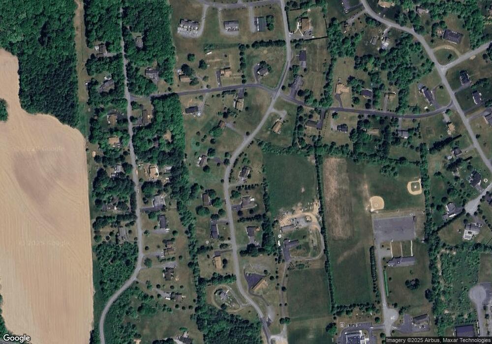
160 Countryside Dr Brodheadsville, PA 18322
Brodheadsville NeighborhoodEstimated Value: $404,415 - $544,000
4
Beds
4
Baths
3,020
Sq Ft
$155/Sq Ft
Est. Value
About This Home
This home is located at 160 Countryside Dr, Brodheadsville, PA 18322 and is currently estimated at $468,604, approximately $155 per square foot. 160 Countryside Dr is a home located in Monroe County with nearby schools including Pleasant Valley Elementary School, Pleasant Valley Intermediate School, and Pleasant Valley Middle School.
Ownership History
Date
Name
Owned For
Owner Type
Purchase Details
Closed on
Jun 13, 2022
Sold by
Hochfeld Caroline P
Bought by
Paolella Caroline A
Current Estimated Value
Home Financials for this Owner
Home Financials are based on the most recent Mortgage that was taken out on this home.
Original Mortgage
$193,000
Outstanding Balance
$183,366
Interest Rate
5.1%
Mortgage Type
New Conventional
Estimated Equity
$285,238
Purchase Details
Closed on
Jun 14, 2013
Sold by
Paolella John
Bought by
Paolella John and Hochfield Caroline P
Purchase Details
Closed on
Aug 6, 2008
Sold by
Hochfeld Alan A and Hochfeld Caroline P
Bought by
Paolella John
Home Financials for this Owner
Home Financials are based on the most recent Mortgage that was taken out on this home.
Original Mortgage
$225,000
Interest Rate
6.54%
Mortgage Type
Unknown
Create a Home Valuation Report for This Property
The Home Valuation Report is an in-depth analysis detailing your home's value as well as a comparison with similar homes in the area
Home Values in the Area
Average Home Value in this Area
Purchase History
| Date | Buyer | Sale Price | Title Company |
|---|---|---|---|
| Paolella Caroline A | -- | Pride Abstract & Settlement Se | |
| Paolella John | -- | None Available | |
| Paolella John | $225,000 | None Available |
Source: Public Records
Mortgage History
| Date | Status | Borrower | Loan Amount |
|---|---|---|---|
| Open | Paolella Caroline A | $193,000 | |
| Previous Owner | Paolella John | $225,000 |
Source: Public Records
Tax History Compared to Growth
Tax History
| Year | Tax Paid | Tax Assessment Tax Assessment Total Assessment is a certain percentage of the fair market value that is determined by local assessors to be the total taxable value of land and additions on the property. | Land | Improvement |
|---|---|---|---|---|
| 2025 | $1,676 | $210,150 | $41,330 | $168,820 |
| 2024 | $1,395 | $210,150 | $41,330 | $168,820 |
| 2023 | $6,364 | $210,150 | $41,330 | $168,820 |
| 2022 | $6,191 | $210,150 | $41,330 | $168,820 |
| 2021 | $5,901 | $210,150 | $41,330 | $168,820 |
| 2020 | $5,572 | $210,150 | $41,330 | $168,820 |
| 2019 | $6,012 | $33,730 | $3,500 | $30,230 |
| 2018 | $5,945 | $33,730 | $3,500 | $30,230 |
| 2017 | $5,876 | $33,730 | $3,500 | $30,230 |
| 2016 | $934 | $33,730 | $3,500 | $30,230 |
| 2015 | -- | $33,730 | $3,500 | $30,230 |
| 2014 | -- | $33,730 | $3,500 | $30,230 |
Source: Public Records
Map
Nearby Homes
- 648 Marion Ln
- 311 Switzgable Dr
- 44 Regency Ln
- 2382 Pennsylvania 115
- 1762 United States Route 209
- 232 Rodenbach Ln
- 219 W Scott Ct
- 558 Effort Neola Rd
- 1547 Weir Creek Dr
- 423 Cottontail Ln
- 300 Silver Valley Rd
- 0 Lr 45003 Unit PM-132004
- 103 Silver Valley Rd
- Lr 45003 Gilbert Rd
- 2718 Oak Ln
- 304 Shady Oaks Dr W
- 2172 White Pine Dr
- 223 Brink Rd
- 2311 Long Acre Dr
- 122 Leisure Ln
- 154 Countryside Dr
- 173 Countryside Dr
- 180 Countryside Dr
- 157 Countryside Dr
- 148 Countryside Dr
- 151 Countryside Dr
- 357 Countryside Dr
- 8 Arthur Ln
- 0 Arthur Ln
- 1409 Arthur Ln
- 1406 Arthur Ln
- 148 Shadow Ridge Dr
- 158 Shadow Ridge Dr
- 142 Shadow Ridge Dr
- 152 Arthur Ln
- 136 Shadow Ridge Dr
- 123 Arthur Ln
- 1400 Arthur Ln
- 119 Arthur Ln
- 132 Shadow Ridge Dr
