160 Cove Rd Port St. Joe, FL 32456
North Cape San Blas NeighborhoodEstimated Value: $434,000 - $624,000
2
Beds
1
Bath
700
Sq Ft
$704/Sq Ft
Est. Value
About This Home
This home is located at 160 Cove Rd, Port St. Joe, FL 32456 and is currently estimated at $492,570, approximately $703 per square foot. 160 Cove Rd is a home located in Gulf County.
Ownership History
Date
Name
Owned For
Owner Type
Purchase Details
Closed on
Nov 10, 2020
Sold by
Sims Robert R and Sims Eleanor F
Bought by
Sims Robert Roy and Torchmark Trust
Current Estimated Value
Purchase Details
Closed on
Nov 16, 2006
Sold by
Sims Robert R and Sims Eleanor F
Bought by
Sims Robert R and Sims Eleanor F
Purchase Details
Closed on
Jun 29, 2006
Sold by
Morrow James R and Morrow Nina M
Bought by
Sims Robert R and Sims Eleanor F
Home Financials for this Owner
Home Financials are based on the most recent Mortgage that was taken out on this home.
Original Mortgage
$200,000
Outstanding Balance
$118,078
Interest Rate
6.55%
Mortgage Type
Unknown
Estimated Equity
$374,492
Create a Home Valuation Report for This Property
The Home Valuation Report is an in-depth analysis detailing your home's value as well as a comparison with similar homes in the area
Home Values in the Area
Average Home Value in this Area
Purchase History
| Date | Buyer | Sale Price | Title Company |
|---|---|---|---|
| Sims Robert Roy | -- | Attorney | |
| Sims Robert R | -- | Attorney | |
| Sims Robert R | $317,500 | Attorney |
Source: Public Records
Mortgage History
| Date | Status | Borrower | Loan Amount |
|---|---|---|---|
| Open | Sims Robert R | $200,000 |
Source: Public Records
Tax History Compared to Growth
Tax History
| Year | Tax Paid | Tax Assessment Tax Assessment Total Assessment is a certain percentage of the fair market value that is determined by local assessors to be the total taxable value of land and additions on the property. | Land | Improvement |
|---|---|---|---|---|
| 2024 | $4,116 | $393,918 | $200,000 | $193,918 |
| 2023 | $4,135 | $265,779 | $0 | $0 |
| 2022 | $3,816 | $336,631 | $150,000 | $186,631 |
| 2021 | $3,130 | $219,654 | $100,000 | $119,654 |
| 2020 | $1,564 | $106,323 | $50,000 | $56,323 |
| 2019 | $1,592 | $106,323 | $50,000 | $56,323 |
| 2018 | $2,007 | $131,445 | $0 | $0 |
| 2017 | $2,044 | $132,851 | $0 | $0 |
| 2016 | $2,117 | $132,534 | $0 | $0 |
| 2015 | $1,936 | $127,039 | $0 | $0 |
| 2014 | $1,799 | $128,668 | $0 | $0 |
Source: Public Records
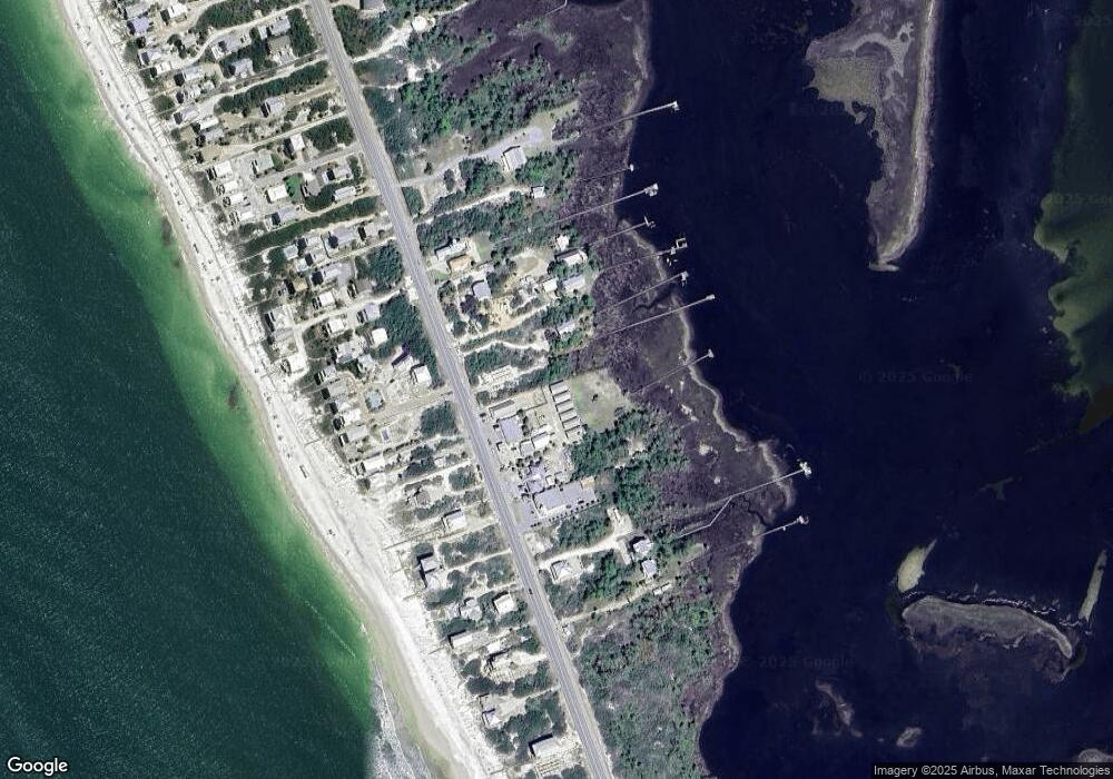
Map
Nearby Homes
- 4187 Cape San Blas Rd
- 4379 Wavecrest Ln
- 126 Shallow Reed Dr
- Lot B Cape San Blas Rd Rd
- 4511 Surfside Ln
- 4533 Cape San Blas Rd
- Lot B Cape San Blas Rd
- 192 Coralee Dr
- 186 Sugar Loaf Ln
- 190 Tiffany Beach Rd
- 122 Antilles Dr
- Lot 5 Planters Way
- 150 Planters Way
- 194 Antilles Dr
- 171 Antiqua Dr Unit 10-C
- 120 Aruba Dr
- 3869 Cape San Blas Rd
- 168 Aruba Dr
- 172 Aruba Dr
- Lot 4 Barbados Dr
- 158 Cove Rd
- 156 Cove Rd
- 156 Cove Rd Unit 4
- 154 Cove Rd
- 154 Cove Rd Unit 3
- 152 Cove Rd Unit 2
- 152 Cove Rd
- 150 Cove Rd Unit 1
- 150 Cove Rd
- 4360 Cape San Blas Rd
- 106 Cliffton Beach Dr
- 106 Cliffton Beach Dr
- 4230 Cape San Blas Rd
- 180 Pilot Dr
- 108 Cliffton Beach Dr
- 130 Pilot Dr
- 104 Cliffton Beach Dr
- 104 Clifton Beach Dr
- 4410 Cape San Blas Rd
- 1 Sea Urchin Dr