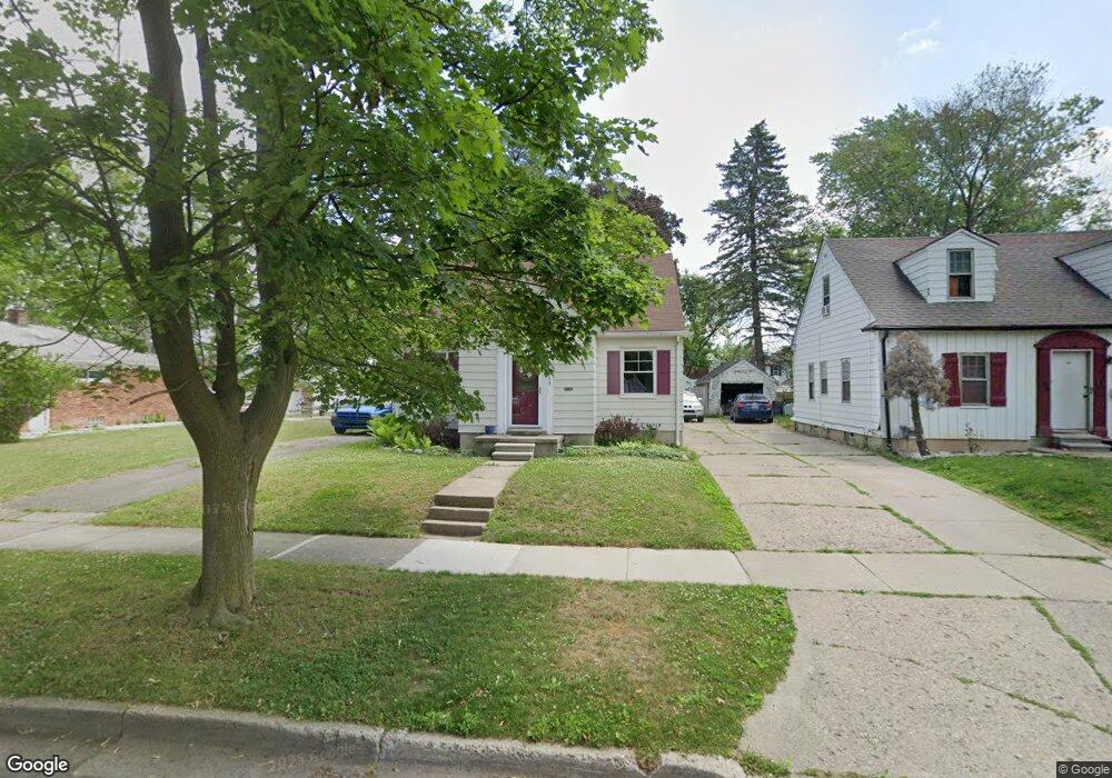
160 Dwight Ave Pontiac, MI 48341
Estimated Value: $117,000 - $170,000
3
Beds
3
Baths
1,167
Sq Ft
$123/Sq Ft
Est. Value
About This Home
This home is located at 160 Dwight Ave, Pontiac, MI 48341 and is currently estimated at $143,508, approximately $122 per square foot. 160 Dwight Ave is a home located in Oakland County with nearby schools including Walt Whitman Elementary School, Pontiac Middle School, and Pontiac High School.
Ownership History
Date
Name
Owned For
Owner Type
Purchase Details
Closed on
Oct 31, 2012
Sold by
Oakland County Treasurer
Bought by
Spina Lisa M
Current Estimated Value
Purchase Details
Closed on
Jun 13, 2000
Sold by
Szewczyk Father Joseph
Bought by
Wheeler Roosevelt
Home Financials for this Owner
Home Financials are based on the most recent Mortgage that was taken out on this home.
Original Mortgage
$86,650
Interest Rate
8.64%
Purchase Details
Closed on
Apr 15, 1999
Sold by
Andrews Mary T
Bought by
Szewczyk Joseph
Create a Home Valuation Report for This Property
The Home Valuation Report is an in-depth analysis detailing your home's value as well as a comparison with similar homes in the area
Home Values in the Area
Average Home Value in this Area
Purchase History
| Date | Buyer | Sale Price | Title Company |
|---|---|---|---|
| Spina Lisa M | $2,000 | None Available | |
| Wheeler Roosevelt | $96,800 | -- | |
| Szewczyk Joseph | -- | -- |
Source: Public Records
Mortgage History
| Date | Status | Borrower | Loan Amount |
|---|---|---|---|
| Previous Owner | Wheeler Roosevelt | $86,650 |
Source: Public Records
Tax History Compared to Growth
Tax History
| Year | Tax Paid | Tax Assessment Tax Assessment Total Assessment is a certain percentage of the fair market value that is determined by local assessors to be the total taxable value of land and additions on the property. | Land | Improvement |
|---|---|---|---|---|
| 2024 | $740 | $37,330 | $0 | $0 |
| 2023 | $705 | $33,290 | $0 | $0 |
| 2022 | $748 | $29,510 | $0 | $0 |
| 2021 | $727 | $25,410 | $0 | $0 |
| 2020 | $641 | $23,760 | $0 | $0 |
| 2019 | $701 | $21,290 | $0 | $0 |
| 2018 | $669 | $18,940 | $0 | $0 |
| 2017 | $935 | $18,570 | $0 | $0 |
| 2016 | $959 | $19,340 | $0 | $0 |
| 2015 | -- | $18,460 | $0 | $0 |
| 2014 | -- | $16,040 | $0 | $0 |
| 2011 | -- | $23,920 | $0 | $0 |
Source: Public Records
Map
Nearby Homes
- 117 Murphy Ave
- 94 Dwight Ave
- 88 Thorpe St
- 76 Spokane Dr
- 79 Spokane Dr
- 69 Lincoln St
- 50 Waldo St
- 663 Lewa Downs Dr Unit 98
- 247 Lasseigne St
- 253 Lasseigne St
- 35 Liberty St
- V/L W Huron St
- 391 Lake Shore Dr Unit 36
- 22 Cooley St
- 331 Elizabeth Lake Rd
- 321 Tom Ave Unit 70
- 73 Henderson St
- 50 Henderson St
- 119 N Genesee Ave
- 205 Florence St
- 164 Dwight Ave
- 156 Dwight Ave
- 168 Dwight Ave
- 152 Dwight Ave
- 148 Dwight Ave
- 131 Elizabeth Lake Rd
- 169 Dwight Ave
- 161 Dwight Ave
- 165 Dwight Ave
- 155 Dwight Ave
- 123 Elizabeth Lake Rd
- 155 Mark Ave
- 141 Elizabeth Lake Rd
- 119 Elizabeth Lake Rd
- 153 Dwight Ave
- 147 Elizabeth Lake Rd
- 151 Mark Ave
- 161 Mark Ave
- 140 Dwight Ave
- 115 Elizabeth Lake Rd