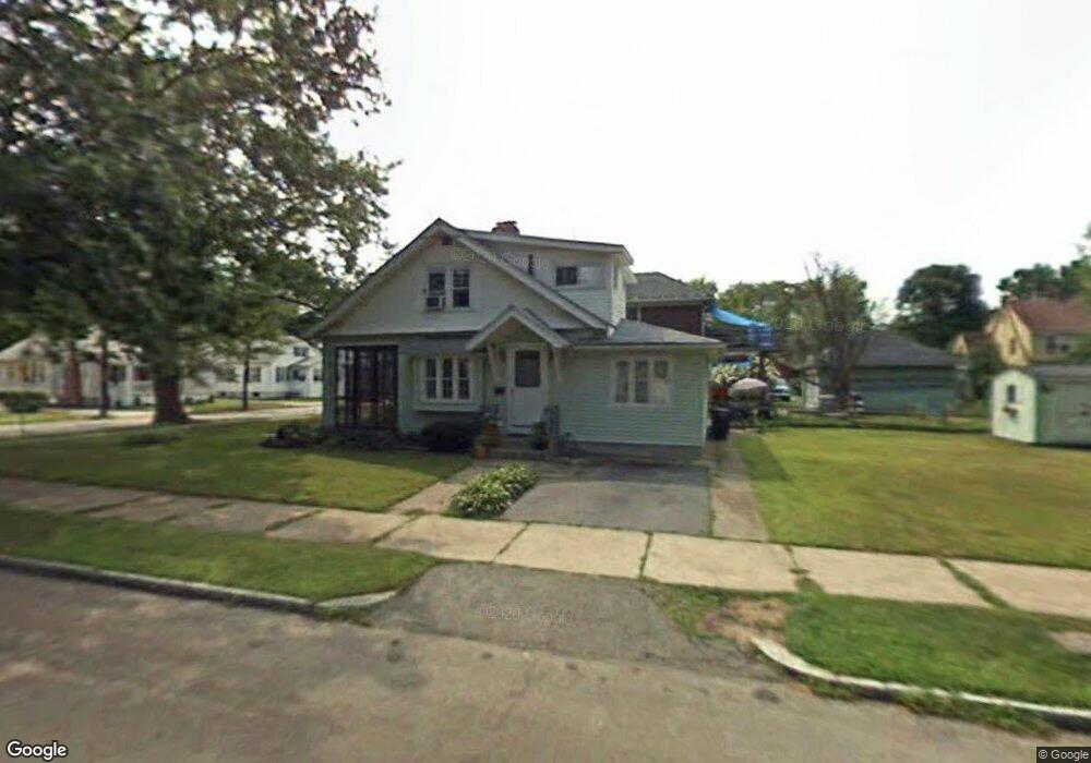
160 Dwight Rd Springfield, MA 01108
Forest Park NeighborhoodEstimated Value: $262,000 - $281,000
3
Beds
1
Bath
1,234
Sq Ft
$218/Sq Ft
Est. Value
About This Home
This home is located at 160 Dwight Rd, Springfield, MA 01108 and is currently estimated at $269,523, approximately $218 per square foot. 160 Dwight Rd is a home located in Hampden County with nearby schools including Alice B. Beal Elementary School, Forest Park Middle School, and High School Of Commerce.
Ownership History
Date
Name
Owned For
Owner Type
Purchase Details
Closed on
Oct 23, 2015
Sold by
Locke Richard H and Rodriguez Anthony
Bought by
Locke Richard H
Current Estimated Value
Purchase Details
Closed on
Jun 6, 2013
Sold by
Locke Richard H
Bought by
Locke Richard H and Rodriguez Anthony
Purchase Details
Closed on
Jul 27, 2007
Sold by
Hartmenn Mildred H
Bought by
Locke Richard H
Home Financials for this Owner
Home Financials are based on the most recent Mortgage that was taken out on this home.
Original Mortgage
$139,000
Interest Rate
6.78%
Mortgage Type
Purchase Money Mortgage
Create a Home Valuation Report for This Property
The Home Valuation Report is an in-depth analysis detailing your home's value as well as a comparison with similar homes in the area
Home Values in the Area
Average Home Value in this Area
Purchase History
| Date | Buyer | Sale Price | Title Company |
|---|---|---|---|
| Locke Richard H | -- | -- | |
| Locke Richard H | -- | -- | |
| Locke Richard H | $139,000 | -- |
Source: Public Records
Mortgage History
| Date | Status | Borrower | Loan Amount |
|---|---|---|---|
| Previous Owner | Locke Richard H | $139,000 |
Source: Public Records
Tax History
| Year | Tax Paid | Tax Assessment Tax Assessment Total Assessment is a certain percentage of the fair market value that is determined by local assessors to be the total taxable value of land and additions on the property. | Land | Improvement |
|---|---|---|---|---|
| 2025 | $2,869 | $183,000 | $47,100 | $135,900 |
| 2024 | $2,615 | $162,800 | $47,100 | $115,700 |
| 2023 | $2,893 | $169,700 | $39,800 | $129,900 |
| 2022 | $2,740 | $145,600 | $39,800 | $105,800 |
| 2021 | $2,540 | $134,400 | $36,200 | $98,200 |
| 2020 | $2,578 | $132,000 | $36,200 | $95,800 |
| 2019 | $2,318 | $117,800 | $36,200 | $81,600 |
| 2018 | $2,419 | $122,900 | $36,200 | $86,700 |
| 2017 | $2,259 | $114,900 | $36,200 | $78,700 |
| 2016 | $2,267 | $115,300 | $36,200 | $79,100 |
| 2015 | $2,311 | $117,500 | $36,200 | $81,300 |
Source: Public Records
Map
Nearby Homes
- 78 Wood Ave
- 5 Fenimore Blvd
- 26 Dwight Rd
- 38 Manchester Terrace
- 33-35 Ruskin St
- 23 Fairway Dr
- 137 Carroll St
- 22 Eleanor Rd
- 179 Carver St
- 132 Carroll St
- 0 Donald Ave
- 914-916 Belmont Ave
- 134-136 Woodlawn St
- 42 Carroll St
- 161 Dorset St
- 12 Carroll St
- 88 Brunswick St
- 35 Carlton St
- 62 Cooley Ave
- 104 Appleton St
- 9 Hartwick St
- 166 Dwight Rd
- 170 Dwight Rd
- 17 Hartwick St
- 152 Dwight Rd
- 14 Hartwick St
- 14 Hartwick St Unit 14
- 6 Bennington St
- 6 Bennington St
- 16 Bennington St
- 161 Dwight Rd
- 165 Dwight Rd
- 25 Hartwick St
- 175 Dwight Rd
- 142 Dwight Rd
- 24 Bennington St
- 153 Dwight Rd
- 31 Hartwick St
- 141 Dwight Rd
- 147 Dwight Rd
Your Personal Tour Guide
Ask me questions while you tour the home.