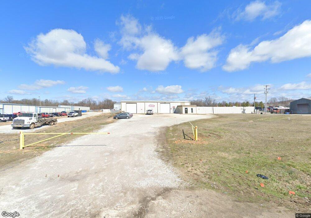
160 E Randall Wobbe Ln Springdale, AR 72764
Estimated Value: $933,176
--
Bed
--
Bath
6,780
Sq Ft
$138/Sq Ft
Est. Value
About This Home
This home is located at 160 E Randall Wobbe Ln, Springdale, AR 72764 and is currently estimated at $933,176, approximately $137 per square foot. 160 E Randall Wobbe Ln is a home located in Washington County with nearby schools including Monitor Elementary School, Lakeside Junior High School, and Sonora Middle School.
Ownership History
Date
Name
Owned For
Owner Type
Purchase Details
Closed on
Oct 23, 2015
Bought by
Wright Investment Group Llc
Current Estimated Value
Purchase Details
Closed on
Oct 9, 2006
Sold by
King Daniel and King Marilyn
Bought by
Wright Investment Group Llc
Home Financials for this Owner
Home Financials are based on the most recent Mortgage that was taken out on this home.
Original Mortgage
$340,000
Interest Rate
8.75%
Mortgage Type
Commercial
Purchase Details
Closed on
Jan 17, 1992
Bought by
King Dan W and King Marilyn J
Create a Home Valuation Report for This Property
The Home Valuation Report is an in-depth analysis detailing your home's value as well as a comparison with similar homes in the area
Home Values in the Area
Average Home Value in this Area
Purchase History
| Date | Buyer | Sale Price | Title Company |
|---|---|---|---|
| Wright Investment Group Llc | -- | -- | |
| Wright Investment Group Llc | $425,000 | Waco | |
| King Dan W | $41,500 | -- |
Source: Public Records
Mortgage History
| Date | Status | Borrower | Loan Amount |
|---|---|---|---|
| Previous Owner | Wright Investment Group Llc | $340,000 |
Source: Public Records
Tax History Compared to Growth
Tax History
| Year | Tax Paid | Tax Assessment Tax Assessment Total Assessment is a certain percentage of the fair market value that is determined by local assessors to be the total taxable value of land and additions on the property. | Land | Improvement |
|---|---|---|---|---|
| 2024 | $2,510 | $82,260 | $22,450 | $59,810 |
| 2023 | $2,345 | $82,260 | $22,450 | $59,810 |
| 2022 | $2,132 | $40,460 | $11,470 | $28,990 |
| 2021 | $2,132 | $40,460 | $11,470 | $28,990 |
| 2020 | $2,132 | $40,460 | $11,470 | $28,990 |
| 2019 | $1,511 | $28,670 | $11,470 | $17,200 |
| 2018 | $1,511 | $28,670 | $11,470 | $17,200 |
| 2017 | $1,497 | $28,670 | $11,470 | $17,200 |
| 2016 | $1,497 | $28,670 | $11,470 | $17,200 |
| 2015 | $1,497 | $28,670 | $11,470 | $17,200 |
| 2014 | $1,508 | $28,880 | $10,430 | $18,450 |
Source: Public Records
Map
Nearby Homes
- 114 E Bailey Ave
- 1015 Mill St
- 209 Sanders Ave
- 2996 Twin County St
- 2977 Kings Dr
- 985 Remington Dr
- 3339 Alliance Dr
- 337 Joy Carol Loop
- 3498 Alliance Dr
- 613 Mill St
- 235 Glory Ln
- 3557 Alliance Dr
- 713 Harris St
- 7.25 AC Thompson
- 1258 Apache Trail
- 1195 Apache Trail
- 3751 Alliance Dr
- 2012 Larkspur St
- 5.06 AC Old Wire Rd
- 3343 Grainger Cir
- 216 E Randall Wobbe Ln
- 111 Randall Wobbe Ln
- 111 W Randall Wobbe Ln
- 290 E Randall Wobbe Ln
- 0 Butterfield Gardens Subdivision Unit 589698
- 2152 Eleanor St
- 2136 Eleanor St
- 2166 Eleanor St
- 2120 Eleanor St
- 2180 Eleanor St
- 2194 Eleanor St
- 2210 Eleanor St
- 1906 N Lowell Rd
- 2228 Eleanor St
- 2244 Eleanor St
- 2266 Eleanor St
- 2153 Eleanor St
- 2137 Eleanor St
- 2167 Eleanor St
- 2282 Eleanor St