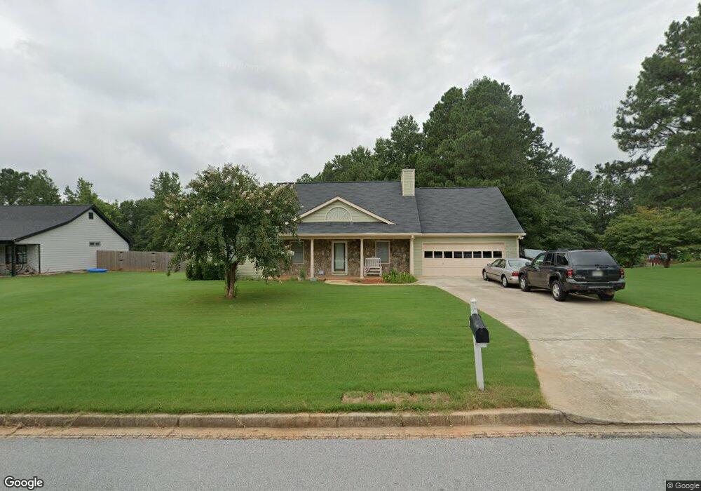
160 Millcrest Dr Unit 2 Covington, GA 30016
Estimated Value: $256,222 - $293,000
--
Bed
2
Baths
1,643
Sq Ft
$164/Sq Ft
Est. Value
About This Home
This home is located at 160 Millcrest Dr Unit 2, Covington, GA 30016 and is currently estimated at $270,056, approximately $164 per square foot. 160 Millcrest Dr Unit 2 is a home located in Newton County with nearby schools including South Salem Elementary School, Liberty Middle School, and Alcovy High School.
Ownership History
Date
Name
Owned For
Owner Type
Purchase Details
Closed on
Oct 31, 2024
Sold by
Cannon Steven R
Bought by
Cannon Cynthia R and Cannon Steven R
Current Estimated Value
Purchase Details
Closed on
Dec 20, 1996
Sold by
Dubois Constrco
Bought by
Cannon Steven Cynthia
Create a Home Valuation Report for This Property
The Home Valuation Report is an in-depth analysis detailing your home's value as well as a comparison with similar homes in the area
Home Values in the Area
Average Home Value in this Area
Purchase History
| Date | Buyer | Sale Price | Title Company |
|---|---|---|---|
| Cannon Cynthia R | -- | -- | |
| Cannon Steven Cynthia | $90,900 | -- |
Source: Public Records
Mortgage History
| Date | Status | Borrower | Loan Amount |
|---|---|---|---|
| Closed | Cannon Steven Cynthia | $0 |
Source: Public Records
Tax History Compared to Growth
Tax History
| Year | Tax Paid | Tax Assessment Tax Assessment Total Assessment is a certain percentage of the fair market value that is determined by local assessors to be the total taxable value of land and additions on the property. | Land | Improvement |
|---|---|---|---|---|
| 2024 | $2,831 | $114,000 | $16,000 | $98,000 |
| 2023 | $2,715 | $102,400 | $8,800 | $93,600 |
| 2022 | $2,278 | $86,320 | $7,200 | $79,120 |
| 2021 | $1,971 | $67,520 | $7,200 | $60,320 |
| 2020 | $1,780 | $55,680 | $7,200 | $48,480 |
| 2019 | $1,682 | $52,040 | $7,200 | $44,840 |
| 2018 | $717 | $44,480 | $7,200 | $37,280 |
| 2017 | $1,298 | $40,520 | $6,400 | $34,120 |
| 2016 | $1,075 | $34,040 | $4,000 | $30,040 |
| 2015 | $1,086 | $34,360 | $3,600 | $30,760 |
| 2014 | $1,084 | $34,360 | $0 | $0 |
Source: Public Records
Map
Nearby Homes
- 400 Oak Hill Dr
- 145 Wynfield Way
- 145 Mill Chase
- 265 Lazy Hollow Ln
- 75 Oak Hill Dr
- 410 Brickstone Way
- 445 Brickstone Way
- 135 Woodcrest Dr
- 205 Woodcrest Dr
- 25 Woodcrest Dr
- 40 Brickstone Pkwy
- 60 Knights Cir
- 85 Lakeside Dr
- 165 Countryside Ln
- 255 Countryside Ln
- 220 McGiboney Place
- 70 Countryside Ln
- 145 McGiboney Place
- 5798 Salem Rd
- 170 Millcrest Dr
- 150 Millcrest Dr Unit 2
- 155 Millcrest Dr Unit 2
- 180 Millcrest Dr
- 10 Creekstone Ct
- 140 Millcrest Dr Unit 2
- 145 Millcrest Dr Unit 2
- 20 Creekstone Ct
- 395 Oak Hill Dr
- 190 Millcrest Dr Unit 2
- 395 Oak Hill Dr
- 185 Millcrest Dr Unit 2
- 130 Millcrest Dr
- 0 Wildcat Way Unit 3159651
- 405 Oak Hill Dr
- 135 Millcrest Dr
- 25 Wildcat Way
- 30 Creekstone Ct
- 200 Millcrest Dr Unit 2
- 200 Millcrest Dr