160 Mountain Memory Ln Mineral Bluff, GA 30559
Estimated Value: $484,000 - $712,972
--
Bed
--
Bath
1,939
Sq Ft
$331/Sq Ft
Est. Value
About This Home
This home is located at 160 Mountain Memory Ln, Mineral Bluff, GA 30559 and is currently estimated at $640,993, approximately $330 per square foot. 160 Mountain Memory Ln is a home with nearby schools including Fannin County High School.
Ownership History
Date
Name
Owned For
Owner Type
Purchase Details
Closed on
Mar 13, 2019
Sold by
Sheppard Charles
Bought by
Alaimo Mark and Alaimo Brenda
Current Estimated Value
Purchase Details
Closed on
Sep 23, 2010
Sold by
Mcsweeney Deborah A
Bought by
Sheppard Charles
Purchase Details
Closed on
Aug 24, 2002
Sold by
Klarmann Deborah A
Bought by
Mcsweeney Deborah A
Purchase Details
Closed on
May 1, 1998
Sold by
Rivernider Gerald L
Bought by
Klarmann Deborah A
Create a Home Valuation Report for This Property
The Home Valuation Report is an in-depth analysis detailing your home's value as well as a comparison with similar homes in the area
Home Values in the Area
Average Home Value in this Area
Purchase History
| Date | Buyer | Sale Price | Title Company |
|---|---|---|---|
| Alaimo Mark | $35,000 | -- | |
| Sheppard Charles | $45,000 | -- | |
| Mcsweeney Deborah A | -- | -- | |
| Klarmann Deborah A | $32,500 | -- |
Source: Public Records
Tax History Compared to Growth
Tax History
| Year | Tax Paid | Tax Assessment Tax Assessment Total Assessment is a certain percentage of the fair market value that is determined by local assessors to be the total taxable value of land and additions on the property. | Land | Improvement |
|---|---|---|---|---|
| 2024 | $1,084 | $250,239 | $37,752 | $212,487 |
| 2023 | $1,024 | $210,142 | $37,752 | $172,390 |
| 2022 | $1,732 | $211,911 | $37,752 | $174,159 |
| 2021 | $1,664 | $141,483 | $37,752 | $103,731 |
| 2020 | $1,351 | $141,483 | $37,752 | $103,731 |
| 2019 | $549 | $37,752 | $37,752 | $0 |
| 2018 | $582 | $37,752 | $37,752 | $0 |
| 2017 | $458 | $25,876 | $25,876 | $0 |
| 2016 | $1,381 | $81,337 | $35,871 | $45,466 |
| 2015 | $1,452 | $81,810 | $35,871 | $45,939 |
| 2014 | $1,179 | $89,928 | $35,871 | $54,057 |
| 2013 | -- | $81,835 | $35,870 | $45,964 |
Source: Public Records
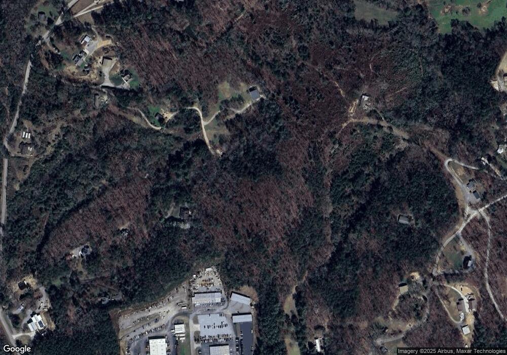
Map
Nearby Homes
- 297 Dogwood Hills Dr
- 257 Dogwood Hills Dr
- 254 Johns Pass
- 229 Dogwood Hills Dr
- 197 Dogwood Hills Dr
- 192 Dogwood Hills Dr
- 186 Dogwood Dr
- 400 Shields Rd
- 221 Johns Pass
- 99 Dogwood Hills Dr
- 85 Johns Pass
- 315 Greenhouse Rd
- 499 Shields Rd
- 110 Johns Pass
- 0 Johns Pass
- 7525 Appalachian Hwy
- 341 Greenhouse Rd
- 90 Johns Pass
- 23 Shields Rd
- 23 Shields Rd