Estimated Value: $376,000 - $569,000
--
Bed
--
Bath
--
Sq Ft
2.37
Acres
About This Home
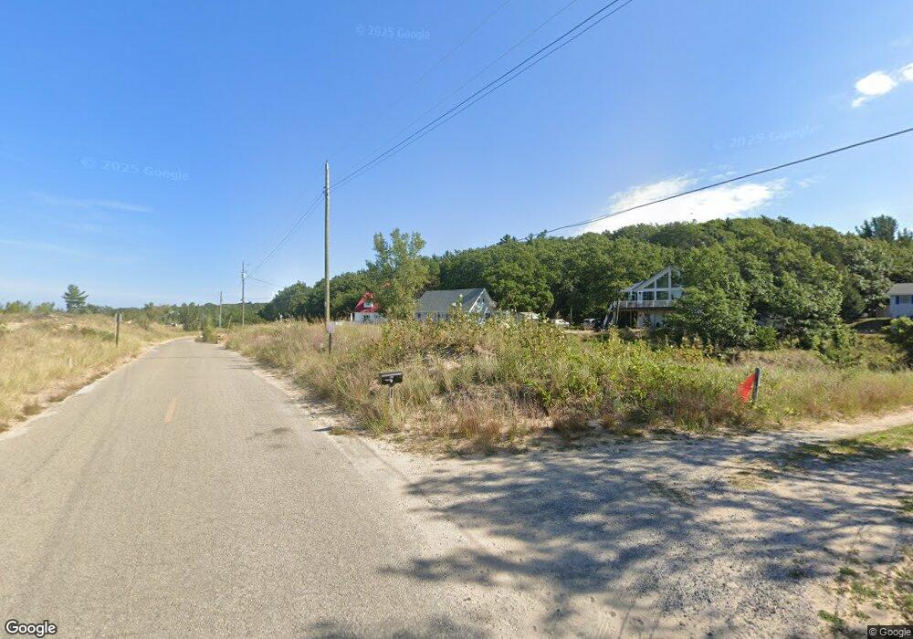
This home is located at 160 N Lighthouse Dr, Mears, MI 49436 and is currently estimated at $467,972. 160 N Lighthouse Dr is a home located in Oceana County with nearby schools including Spitler Elementary School, Hart Middle School, and Hart High School.
Ownership History
Date
Name
Owned For
Owner Type
Purchase Details
Closed on
Sep 18, 2018
Sold by
Lanoue Thomas
Bought by
Lanoue Thomas L and Lanoue Sharon C
Current Estimated Value
Home Financials for this Owner
Home Financials are based on the most recent Mortgage that was taken out on this home.
Original Mortgage
$230,000
Interest Rate
4.5%
Mortgage Type
Purchase Money Mortgage
Purchase Details
Closed on
Jul 24, 2006
Sold by
Lanoue Charles M and Lanoue Angela I
Bought by
The Lanoue Family Trust
Create a Home Valuation Report for This Property
The Home Valuation Report is an in-depth analysis detailing your home's value as well as a comparison with similar homes in the area
Home Values in the Area
Average Home Value in this Area
Purchase History
| Date | Buyer | Sale Price | Title Company |
|---|---|---|---|
| Lanoue Thomas L | -- | None Available | |
| Lanoue Thomas | -- | None Available | |
| The Lanoue Family Trust | -- | None Available |
Source: Public Records
Mortgage History
| Date | Status | Borrower | Loan Amount |
|---|---|---|---|
| Closed | Lanoue Thomas | $230,000 |
Source: Public Records
Tax History Compared to Growth
Tax History
| Year | Tax Paid | Tax Assessment Tax Assessment Total Assessment is a certain percentage of the fair market value that is determined by local assessors to be the total taxable value of land and additions on the property. | Land | Improvement |
|---|---|---|---|---|
| 2025 | $4,018 | $210,400 | $210,400 | $0 |
| 2024 | $1,015 | $173,800 | $173,800 | $0 |
| 2023 | $3,621 | $142,400 | $142,400 | $0 |
| 2022 | $3,621 | $126,400 | $0 | $0 |
| 2021 | $3,550 | $122,500 | $122,500 | $0 |
| 2020 | $3,472 | $178,100 | $178,100 | $0 |
| 2019 | $3,451 | $169,400 | $0 | $0 |
| 2018 | $3,291 | $179,500 | $0 | $0 |
| 2017 | $3,291 | $179,500 | $0 | $0 |
| 2016 | -- | $163,200 | $0 | $0 |
| 2013 | -- | $162,400 | $0 | $0 |
Source: Public Records
Map
Nearby Homes
- 539 N Lighthouse Dr
- 62 N 14th Ave
- 0 Silver Lake Dr
- 658 Parasail Dr
- Lot G Hemlock Trail
- 10412 W Woodrow Rd
- 10445 W Woodrow Rd
- 0 Sable Point Dr Unit 286596
- Lot N Hemlock Trail
- Lot O Hemlock
- Parcel F-1 28th Ave
- Parcel F-2 28th Ave
- Parcel G-1 28th Ave
- Parcel G-2 28th Ave
- 18 Acres 28th Ave
- 1935 S Glen Rd
- V/L W Woodrow Rd
- 2225 Apache Dr
- 8439 W Easy St
- 8511 W Easy St
- 172 N Lighthouse Dr
- 136 N Lighthouse Dr
- 124 N Lighthouse Dr
- 112 N Lighthouse Dr
- 88 N Lighthouse Dr
- 148 N Lighthouse Dr
- 184 N Lighthouse Dr
- 76 N Lighthouse Dr
- 56 N Lighthouse Dr
- 48 N Lighthouse Dr
- 40 N Lighthouse Dr
- 16 S Lighthouse Dr
- 9 S Lighthouse Dr
- 24 Lighthouse Dr
- 0 Beacon Dr Unit 71022032801
- 0 Beacon Dr Unit 15 22032801
- 0 Beacon Dr Unit Lot 15 19004039
- 0 Beacon Dr Unit M17024092
- 0 Beacon Dr Unit M19004039
- 0 Beacon Dr Unit 71017024092