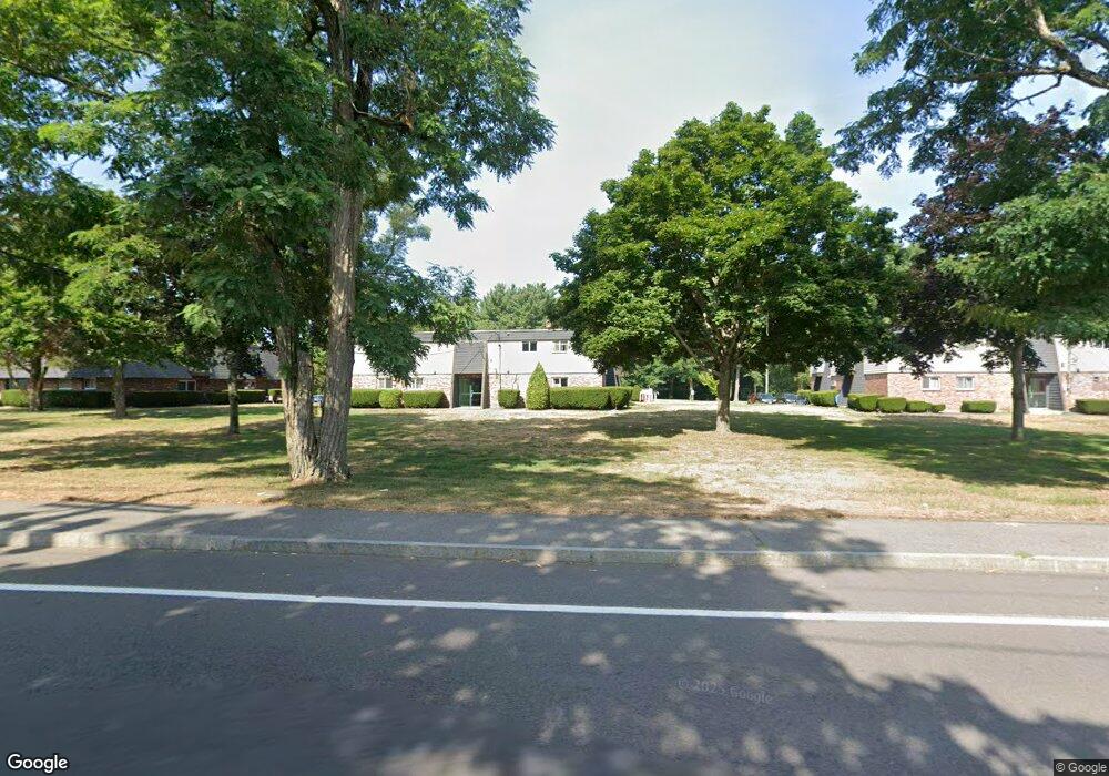
160 N Main St Unit 8 Raynham, MA 02767
Estimated Value: $185,000 - $308,000
2
Beds
1
Bath
812
Sq Ft
$300/Sq Ft
Est. Value
About This Home
This home is located at 160 N Main St Unit 8, Raynham, MA 02767 and is currently estimated at $243,680, approximately $300 per square foot. 160 N Main St Unit 8 is a home located in Bristol County with nearby schools including Merrill Elementary School, LaLiberte Elementary School, and Williams Intermediate School.
Ownership History
Date
Name
Owned For
Owner Type
Purchase Details
Closed on
Jul 6, 2000
Sold by
Tung Khin W and Tung Khin Leong
Bought by
Raynham Briarcliff Llc
Current Estimated Value
Purchase Details
Closed on
Dec 1, 1992
Sold by
Dime Sb Ny Fsb
Bought by
Tung Khin Leong and Tung Khin W
Purchase Details
Closed on
May 1, 1992
Sold by
Latham Peter R
Bought by
Dime Sb Ny
Create a Home Valuation Report for This Property
The Home Valuation Report is an in-depth analysis detailing your home's value as well as a comparison with similar homes in the area
Home Values in the Area
Average Home Value in this Area
Purchase History
| Date | Buyer | Sale Price | Title Company |
|---|---|---|---|
| Raynham Briarcliff Llc | $51,000 | -- | |
| Tung Khin Leong | $30,000 | -- | |
| Dime Sb Ny | $24,500 | -- |
Source: Public Records
Mortgage History
| Date | Status | Borrower | Loan Amount |
|---|---|---|---|
| Previous Owner | Dime Sb Ny | $24,500 | |
| Previous Owner | Dime Sb Ny | $16,000 |
Source: Public Records
Tax History Compared to Growth
Tax History
| Year | Tax Paid | Tax Assessment Tax Assessment Total Assessment is a certain percentage of the fair market value that is determined by local assessors to be the total taxable value of land and additions on the property. | Land | Improvement |
|---|---|---|---|---|
| 2025 | $1,534 | $126,800 | $0 | $126,800 |
| 2024 | $1,473 | $118,600 | $0 | $118,600 |
| 2023 | $1,370 | $100,700 | $0 | $100,700 |
| 2022 | $1,373 | $92,600 | $0 | $92,600 |
| 2021 | $1,360 | $92,600 | $0 | $92,600 |
| 2020 | $1,295 | $89,900 | $0 | $89,900 |
| 2019 | $1,279 | $89,900 | $0 | $89,900 |
| 2018 | $1,153 | $77,400 | $0 | $77,400 |
| 2017 | $1,342 | $89,300 | $0 | $89,300 |
| 2016 | $1,272 | $84,900 | $0 | $84,900 |
| 2015 | $1,212 | $79,500 | $0 | $79,500 |
Source: Public Records
Map
Nearby Homes
- 73 Sherwood Ln
- 271 King St
- 21 Sully Rd
- 30 Edward Rd
- 2 Maplewood Ln Unit 21-1
- 0 Maplewood Unit 21.3 73426136
- 84 Diniz Dr
- 152 Forgeriver
- 53 Queens Cir
- 970 N Main St
- 123 Center St
- 0 S Main St Unit 73443212
- 930 King St
- 215 Longmeadow Rd Unit 604
- 9 Whitsbourgh St
- 32 Bear Stump Cir
- 52 Ward St
- 110 Dean St Unit 102
- 222 Harris St
- 63 Vaillancourt St
- 160 N Main St Unit 7
- 160 N Main St Unit 6
- 160 N Main St Unit 5
- 160 N Main St Unit 4
- 160 N Main St Unit 3
- 160 N Main St Unit 2
- 160 N Main St Unit 1
- 152 N Main St Unit 8
- 152 N Main St Unit 7
- 152 N Main St Unit 6
- 152 N Main St Unit 5
- 152 N Main St Unit 4
- 152 N Main St Unit 3
- 152 N Main St Unit 2
- 152 N Main St Unit 1
- 172 N Main St Unit 8
- 172 N Main St Unit 7
- 172 N Main St Unit 6
- 172 N Main St Unit 5
- 172 N Main St Unit 4