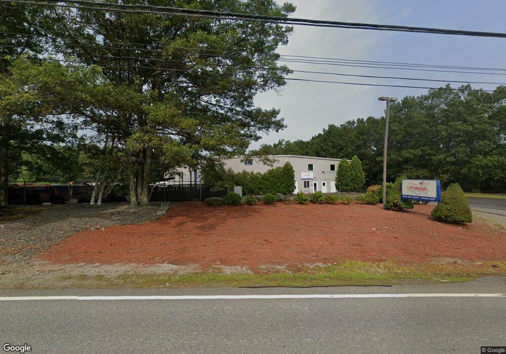
160 Otis St Unit C1-4 Northborough, MA 01532
Estimated Value: $335,487
--
Bed
--
Bath
1,316
Sq Ft
$255/Sq Ft
Est. Value
About This Home
This home is located at 160 Otis St Unit C1-4, Northborough, MA 01532 and is currently estimated at $335,487, approximately $254 per square foot. 160 Otis St Unit C1-4 is a home located in Worcester County with nearby schools including Fannie E. Proctor Elementary School, Robert E. Melican Middle School, and Algonquin Regional High School.
Ownership History
Date
Name
Owned For
Owner Type
Purchase Details
Closed on
Feb 6, 2023
Sold by
Sq 160 Otis Street Llc
Bought by
Khan Shahid Z and Khan Anila S
Current Estimated Value
Purchase Details
Closed on
Jun 19, 2020
Sold by
Terricciano David A and Terricciano Beth A
Bought by
Sq 160 Otis Street Llc
Purchase Details
Closed on
Dec 21, 2015
Sold by
Webber Rt and Egan
Bought by
Terricciano David A and Terricciano Beth A
Purchase Details
Closed on
Mar 6, 2006
Sold by
160 Otis Street Llc and Abraham Prop Inc
Bought by
Webber Rt and Egan
Create a Home Valuation Report for This Property
The Home Valuation Report is an in-depth analysis detailing your home's value as well as a comparison with similar homes in the area
Home Values in the Area
Average Home Value in this Area
Purchase History
| Date | Buyer | Sale Price | Title Company |
|---|---|---|---|
| Khan Shahid Z | $275,000 | None Available | |
| Sq 160 Otis Street Llc | $190,000 | None Available | |
| Terricciano David A | $164,500 | -- | |
| Webber Rt | $164,500 | -- | |
| Webber Rt | $164,500 | -- |
Source: Public Records
Tax History Compared to Growth
Tax History
| Year | Tax Paid | Tax Assessment Tax Assessment Total Assessment is a certain percentage of the fair market value that is determined by local assessors to be the total taxable value of land and additions on the property. | Land | Improvement |
|---|---|---|---|---|
| 2025 | $3,414 | $239,600 | $0 | $239,600 |
| 2024 | $3,013 | $211,000 | $0 | $211,000 |
| 2023 | $2,795 | $189,000 | $0 | $189,000 |
| 2022 | $2,963 | $179,700 | $0 | $179,700 |
| 2021 | $2,986 | $174,400 | $0 | $174,400 |
| 2020 | $3,060 | $177,400 | $0 | $177,400 |
| 2019 | $2,998 | $174,800 | $0 | $174,800 |
| 2018 | $2,915 | $167,600 | $0 | $167,600 |
| 2017 | $2,784 | $160,100 | $0 | $160,100 |
| 2016 | $2,342 | $136,400 | $0 | $136,400 |
| 2015 | $2,476 | $148,000 | $0 | $148,000 |
| 2014 | $2,455 | $148,000 | $0 | $148,000 |
Source: Public Records
Map
Nearby Homes
- 11 Hillside Rd
- 22 Hitching Post Ln
- 59 Indian Meadow Dr
- 1 Hamilton Rd
- 139 Davis St
- 457 Walnut St
- 223 South St
- 198 South St
- 349 Brigham St
- 155 Milk St Unit 5
- 155 Milk St Unit 27
- 185-187 South St
- 65 Commons Dr Unit 502
- 65 Commons Dr Unit 410
- 85 Commons Dr Unit 210
- 8 Stagecoach Cir Unit 8
- 24 Brook St
- 10 Falcon Dr
- 9 Shaker Way
- 64 Arch St
- 160 Otis St Unit C5
- 160 Otis St Unit C1--6
- 160 Otis St Unit C1-5
- 160 Otis St Unit C1-10
- 160 Otis St Unit C1-7
- 160 Otis St Unit C1-1
- 33 Lawrence St
- 44 Lawrence St
- 40 Lawrence St
- 102 Otis St
- 66 Lawrence St
- 69 Lawrence St
- 27 Lawrence St
- 27 Lawrence St Unit Bldg 1
- 30 Lawrence St
- 30 Lawrence St Unit Bldg 1
- 26 Lawrence St Unit 1
- 75 Lawrence St
- 29 Lawrence St Unit Blg 1
- 29 Lawrence St Unit Bldg 1