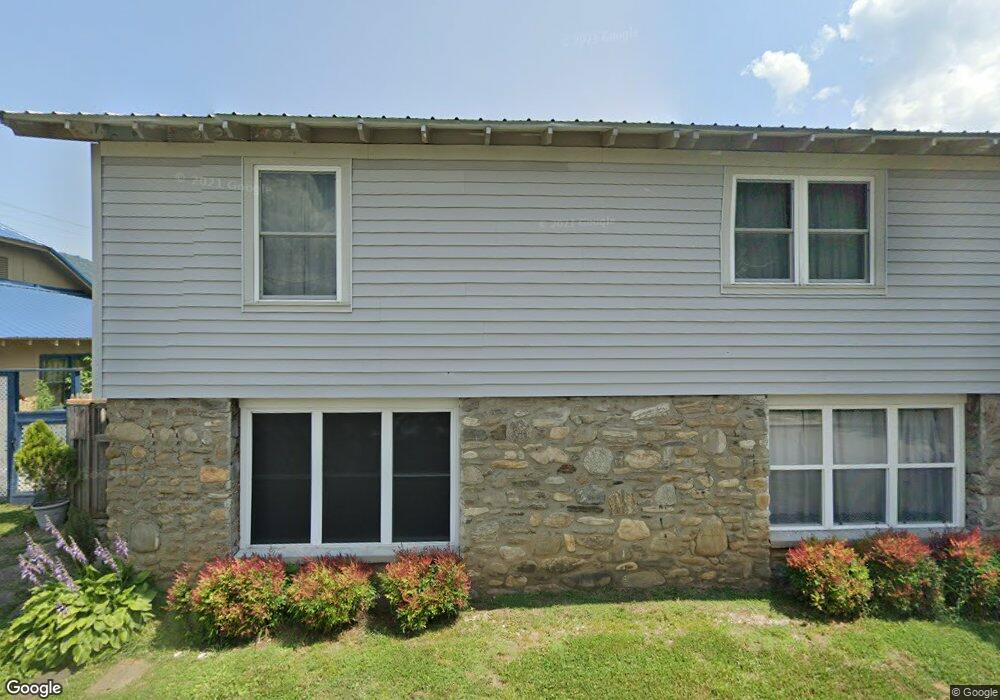
160 Poplar St Waynesville, NC 28786
Estimated Value: $194,000 - $235,000
2
Beds
2
Baths
769
Sq Ft
$283/Sq Ft
Est. Value
About This Home
This home is located at 160 Poplar St, Waynesville, NC 28786 and is currently estimated at $217,404, approximately $282 per square foot. 160 Poplar St is a home located in Haywood County with nearby schools including Hazelwood Elementary, Waynesville Middle, and Tuscola High.
Ownership History
Date
Name
Owned For
Owner Type
Purchase Details
Closed on
Nov 18, 2005
Sold by
Bucklaew Deborah A and Wight William
Bought by
Evans Donald Wayne and Evans Jessie
Current Estimated Value
Home Financials for this Owner
Home Financials are based on the most recent Mortgage that was taken out on this home.
Original Mortgage
$57,600
Outstanding Balance
$31,289
Interest Rate
5.9%
Mortgage Type
New Conventional
Estimated Equity
$186,115
Create a Home Valuation Report for This Property
The Home Valuation Report is an in-depth analysis detailing your home's value as well as a comparison with similar homes in the area
Home Values in the Area
Average Home Value in this Area
Purchase History
| Date | Buyer | Sale Price | Title Company |
|---|---|---|---|
| Evans Donald Wayne | $58,000 | None Available |
Source: Public Records
Mortgage History
| Date | Status | Borrower | Loan Amount |
|---|---|---|---|
| Open | Evans Donald Wayne | $57,600 |
Source: Public Records
Tax History Compared to Growth
Tax History
| Year | Tax Paid | Tax Assessment Tax Assessment Total Assessment is a certain percentage of the fair market value that is determined by local assessors to be the total taxable value of land and additions on the property. | Land | Improvement |
|---|---|---|---|---|
| 2025 | -- | $102,300 | $15,000 | $87,300 |
| 2024 | $722 | $102,300 | $15,000 | $87,300 |
| 2023 | $722 | $102,300 | $15,000 | $87,300 |
| 2022 | $706 | $102,300 | $15,000 | $87,300 |
| 2021 | $706 | $102,300 | $15,000 | $87,300 |
| 2020 | $579 | $71,800 | $12,900 | $58,900 |
| 2019 | $584 | $71,800 | $12,900 | $58,900 |
| 2018 | $574 | $70,100 | $12,900 | $57,200 |
| 2017 | $574 | $70,100 | $0 | $0 |
| 2016 | $535 | $65,500 | $0 | $0 |
| 2015 | $535 | $65,500 | $0 | $0 |
| 2014 | $447 | $65,500 | $0 | $0 |
Source: Public Records
Map
Nearby Homes
- 55 Scates St
- 271 Brook St
- 1193 Brown Ave
- 49 Robinson St
- 56 Kentucky Ave
- 142 Country Club Dr
- 72 Raines Blvd
- 165 Country Club Dr
- 228 Hyatt St
- TBD Adams St Unit 1
- 780 Hazelwood Ave
- 684 Woodfield Dr
- 419 Country Club Dr
- 34 Bowden Ln
- 251 Westwood Cir
- 261 Westwood Cir
- 269 Westwood Cir
- 152 Springview Dr
- 00 Longview Dr Unit 6
- 00 Longview Dr Unit 7