160 Rollins Trail Hopatcong, NJ 07843
Estimated Value: $418,000 - $497,000
--
Bed
--
Bath
1,732
Sq Ft
$257/Sq Ft
Est. Value
About This Home
This home is located at 160 Rollins Trail, Hopatcong, NJ 07843 and is currently estimated at $445,477, approximately $257 per square foot. 160 Rollins Trail is a home located in Sussex County with nearby schools including Hudson Maxim Elementary School, Durban Avenue Elementary School, and Tulsa Trail Elementary School.
Ownership History
Date
Name
Owned For
Owner Type
Purchase Details
Closed on
Oct 11, 1995
Sold by
Roche William
Bought by
Oestreich John
Current Estimated Value
Create a Home Valuation Report for This Property
The Home Valuation Report is an in-depth analysis detailing your home's value as well as a comparison with similar homes in the area
Home Values in the Area
Average Home Value in this Area
Purchase History
| Date | Buyer | Sale Price | Title Company |
|---|---|---|---|
| Oestreich John | $110,000 | -- |
Source: Public Records
Tax History Compared to Growth
Tax History
| Year | Tax Paid | Tax Assessment Tax Assessment Total Assessment is a certain percentage of the fair market value that is determined by local assessors to be the total taxable value of land and additions on the property. | Land | Improvement |
|---|---|---|---|---|
| 2025 | $7,967 | $382,100 | $126,000 | $256,100 |
| 2024 | $7,239 | $382,100 | $126,000 | $256,100 |
| 2023 | $7,239 | $206,900 | $72,300 | $134,600 |
| 2022 | $7,097 | $206,900 | $72,300 | $134,600 |
| 2021 | $6,977 | $206,900 | $72,300 | $134,600 |
| 2020 | $6,904 | $206,900 | $72,300 | $134,600 |
| 2019 | $6,875 | $206,900 | $72,300 | $134,600 |
| 2018 | $6,861 | $206,900 | $72,300 | $134,600 |
| 2017 | $6,850 | $206,900 | $72,300 | $134,600 |
| 2016 | $6,865 | $206,900 | $72,300 | $134,600 |
| 2015 | $6,710 | $206,900 | $72,300 | $134,600 |
| 2014 | $6,687 | $206,900 | $72,300 | $134,600 |
Source: Public Records
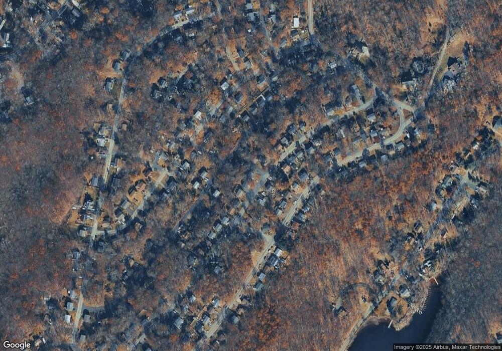
Map
Nearby Homes
- 4 Kansas Way
- 23 Fordham Trail
- 34 Oklahoma Trail
- 14 Marshall Trail
- 66 Sutton Trail
- 354 Maxim Dr
- 114 Rollins Trail
- 8 Oneida Ave
- 208 Maxim Dr
- 35 Mountain Trail
- 121 Bucknell Trail
- 9 Papoose Trail
- 496 River Styx Rd
- 116 Bucknell Trail
- 8 Walton Rd
- 167 Marne Rd
- 10 N River Styx Rd
- 38 W River Styx Rd
- 4 Bear Pond Trail
- 5 W Unit 204
- 158 Rollins Trail
- 156 Rollins Trail
- 5 Kansas Way
- 153 Rollins Trail
- 37 Fordham Trail
- 155 Rollins Trail
- 149 Rollins Trail
- 154 Rollins Trail
- 157 Rollins Trail
- 29 Fordham Trail
- 166 Rollins Trail
- 147 Rollins Trail
- 31 Fordham Trail
- 340 Dupont Ave
- 9 Kansas Way
- 338 Dupont Ave
- 159 Rollins Trail
- 336 Dupont Ave
- 41 Fordham Trail
- 342 Dupont Ave