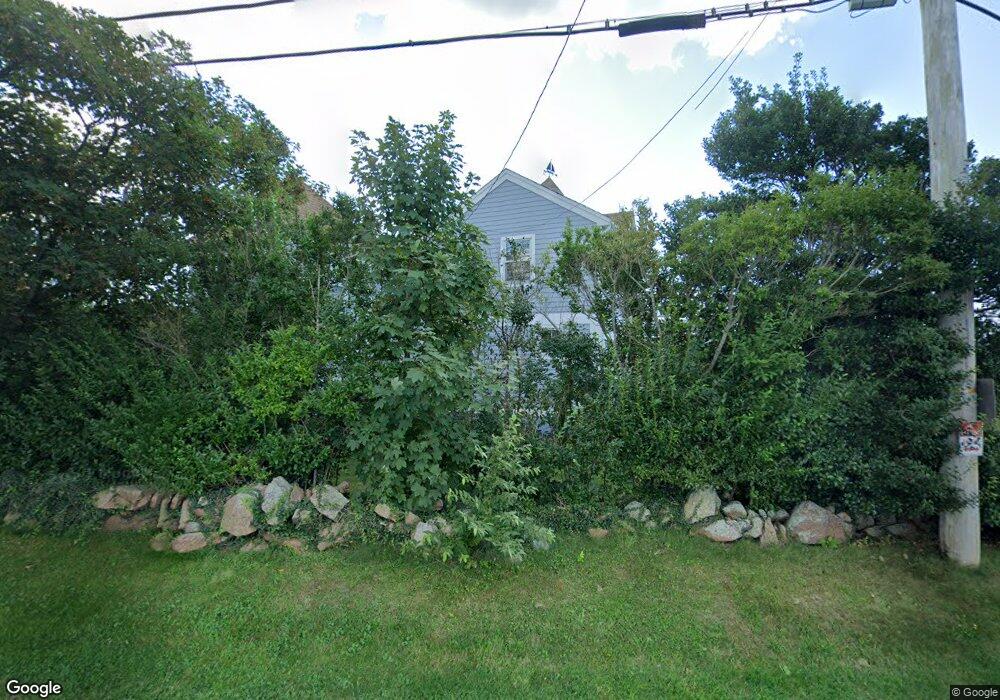
160 Sakonnet Point Rd Little Compton, RI 02837
Estimated Value: $1,097,171 - $2,211,000
2
Beds
2
Baths
1,392
Sq Ft
$1,113/Sq Ft
Est. Value
About This Home
This home is located at 160 Sakonnet Point Rd, Little Compton, RI 02837 and is currently estimated at $1,548,793, approximately $1,112 per square foot. 160 Sakonnet Point Rd is a home located in Newport County with nearby schools including Wilbur & McMahon School.
Ownership History
Date
Name
Owned For
Owner Type
Purchase Details
Closed on
Jul 30, 2018
Sold by
Martha M Vanzuiden T
Bought by
Martha M Vanzuiden Ft
Current Estimated Value
Purchase Details
Closed on
Jan 13, 2016
Sold by
Vanzuiden Paul E and Vanzuiden Martha M
Bought by
Martha M Vanzuiden T
Purchase Details
Closed on
Dec 16, 2015
Sold by
Vanzuiden Paul E and Vanzuiden Martha M
Bought by
Paul E Vanzuiden T
Create a Home Valuation Report for This Property
The Home Valuation Report is an in-depth analysis detailing your home's value as well as a comparison with similar homes in the area
Home Values in the Area
Average Home Value in this Area
Purchase History
| Date | Buyer | Sale Price | Title Company |
|---|---|---|---|
| Martha M Vanzuiden Ft | -- | -- | |
| Martha M Vanzuiden T | -- | -- | |
| Paul E Vanzuiden T | -- | -- | |
| Martha M Vanzuiden Ft | -- | -- | |
| Martha M Vanzuiden T M | -- | -- | |
| Paul E Vanzuiden T E | -- | -- |
Source: Public Records
Tax History Compared to Growth
Tax History
| Year | Tax Paid | Tax Assessment Tax Assessment Total Assessment is a certain percentage of the fair market value that is determined by local assessors to be the total taxable value of land and additions on the property. | Land | Improvement |
|---|---|---|---|---|
| 2025 | $4,089 | $853,600 | $528,100 | $325,500 |
| 2024 | $3,684 | $725,200 | $459,300 | $265,900 |
| 2023 | $3,597 | $725,200 | $459,300 | $265,900 |
| 2022 | $3,553 | $725,200 | $459,300 | $265,900 |
| 2021 | $3,697 | $612,100 | $384,100 | $228,000 |
| 2020 | $3,666 | $612,100 | $384,100 | $228,000 |
| 2019 | $3,630 | $612,100 | $384,100 | $228,000 |
| 2018 | $3,405 | $571,300 | $332,900 | $238,400 |
| 2016 | $3,178 | $560,500 | $332,900 | $227,600 |
| 2015 | $3,279 | $570,200 | $302,600 | $267,600 |
| 2014 | $3,216 | $570,200 | $302,600 | $267,600 |
Source: Public Records
Map
Nearby Homes
- 536 W Main Rd
- 141 S Of Commons Rd
- 441 W Main Rd
- 18 Old Barn Rd
- 128 Maple Ave
- 515 Indian Ave
- 62 Howland Ave
- 0 Willow Ave
- 78 Cornelius Dr
- 141 Gray Craig Rd
- 180 W Main Rd
- 10 Bartlett Rd
- 304 Brayton Point Rd
- 17 Ferolbink Way
- 16 Sachuest Dr
- 0 Saltwood Dr
- 4 James St
- 189 Brayton Point Rd
- 155 W Main Rd
- 140 Tuckerman Ave
- 162 Sakonnet Point Rd
- 161 Sakonnet Point Rd
- 154 Sakonnet Point Rd
- 152 Sakonnet Point Rd
- 4 Minnesota Rd
- 155 Sakonnet Point Rd
- 26 California Rd
- 20 California Rd
- 21 California Rd
- 6 Minnesota Rd
- 148 Sakonnet Point Rd
- 29 California Rd
- 14 California Rd
- 22 California Rd
- 7 Minnesota Rd
- 6 Montana Rd
- 8 Minnesota Rd
- 17 Nevada Rd
- 14 Washington Rd
- 22 Nevada Rd