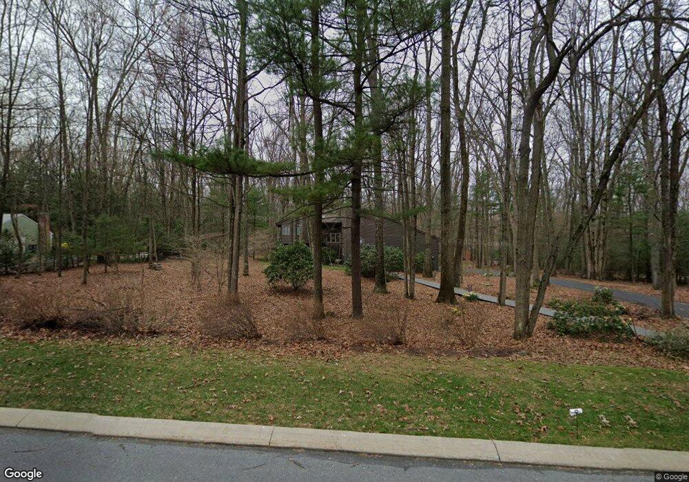
160 Sandy Ridge Rd State College, PA 16803
Patton NeighborhoodEstimated Value: $607,197 - $627,000
3
Beds
3
Baths
2,819
Sq Ft
$219/Sq Ft
Est. Value
About This Home
This home is located at 160 Sandy Ridge Rd, State College, PA 16803 and is currently estimated at $616,549, approximately $218 per square foot. 160 Sandy Ridge Rd is a home located in Centre County with nearby schools including Park Forest Elementary School, Park Forest Middle School, and State College Area High School.
Ownership History
Date
Name
Owned For
Owner Type
Purchase Details
Closed on
Apr 7, 2025
Sold by
Milgrub Richard H and Milgrub Marjorie L
Bought by
Blake A Colaianne And Justin R Sundheimer Rev and Colaianne
Current Estimated Value
Home Financials for this Owner
Home Financials are based on the most recent Mortgage that was taken out on this home.
Original Mortgage
$500,000
Interest Rate
6.83%
Mortgage Type
New Conventional
Purchase Details
Closed on
Mar 19, 1998
Bought by
Milgrub Richard H and Milgrub Marjorie L
Create a Home Valuation Report for This Property
The Home Valuation Report is an in-depth analysis detailing your home's value as well as a comparison with similar homes in the area
Home Values in the Area
Average Home Value in this Area
Purchase History
| Date | Buyer | Sale Price | Title Company |
|---|---|---|---|
| Blake A Colaianne And Justin R Sundheimer Rev | $625,000 | None Listed On Document | |
| Milgrub Richard H | -- | -- |
Source: Public Records
Mortgage History
| Date | Status | Borrower | Loan Amount |
|---|---|---|---|
| Previous Owner | Blake A Colaianne And Justin R Sundheimer Rev | $500,000 |
Source: Public Records
Tax History Compared to Growth
Tax History
| Year | Tax Paid | Tax Assessment Tax Assessment Total Assessment is a certain percentage of the fair market value that is determined by local assessors to be the total taxable value of land and additions on the property. | Land | Improvement |
|---|---|---|---|---|
| 2025 | $8,720 | $125,175 | $24,360 | $100,815 |
| 2024 | $8,135 | $125,175 | $24,360 | $100,815 |
| 2023 | $8,135 | $125,175 | $24,360 | $100,815 |
| 2022 | $7,940 | $125,175 | $24,360 | $100,815 |
| 2021 | $7,940 | $125,175 | $24,360 | $100,815 |
| 2020 | $7,940 | $125,175 | $24,360 | $100,815 |
| 2019 | $5,660 | $125,175 | $24,360 | $100,815 |
| 2018 | $7,697 | $125,175 | $24,360 | $100,815 |
| 2017 | $7,612 | $125,175 | $24,360 | $100,815 |
| 2016 | -- | $125,175 | $24,360 | $100,815 |
| 2015 | -- | $125,175 | $24,360 | $100,815 |
| 2014 | -- | $125,175 | $24,360 | $100,815 |
Source: Public Records
Map
Nearby Homes
- 169 Sandy Ridge Rd
- 2251 Red Oak Ln
- 2292 Oak Leaf Dr
- 291 Oakley Dr
- 479 Westgate Dr
- 833 Galen Dr
- 835 Galen Dr Unit 835
- 1765 Cambridge Dr
- 1635 Princeton Dr
- 1111-C W Aaron Dr
- 3182 Carnegie Dr
- 1832 Waddle Rd
- 1836 Waddle Rd
- 253 Bolton Ave
- 991 Scotia Rd
- 95 Greenmeadow Ln
- 1383 N Allen St
- 257 Oakwood Ave
- 1457 Curtin St
- 505 Hillcrest Ave
- 166 Sandy Ridge Rd
- 154 Sandy Ridge Rd
- 404 W Shadow Ln
- 408 W Shadow Ln
- 157 Sandy Ridge Rd
- 178 Sandy Ridge Rd
- 148 Sandy Ridge Rd
- 400 W Shadow Ln
- 139 Sandy Ridge Rd
- 412 W Shadow Ln
- 142 Sandy Ridge Rd
- 416 W Shadow Ln
- 190 Sandy Ridge Rd
- 175 Sandy Ridge Rd
- 301 Christopher Ln
- 405 W Shadow Ln
- 133 Sandy Ridge Rd
- 119 Sandy Ridge Rd
- 113 Sandy Ridge Rd
- 300 Christopher Ln