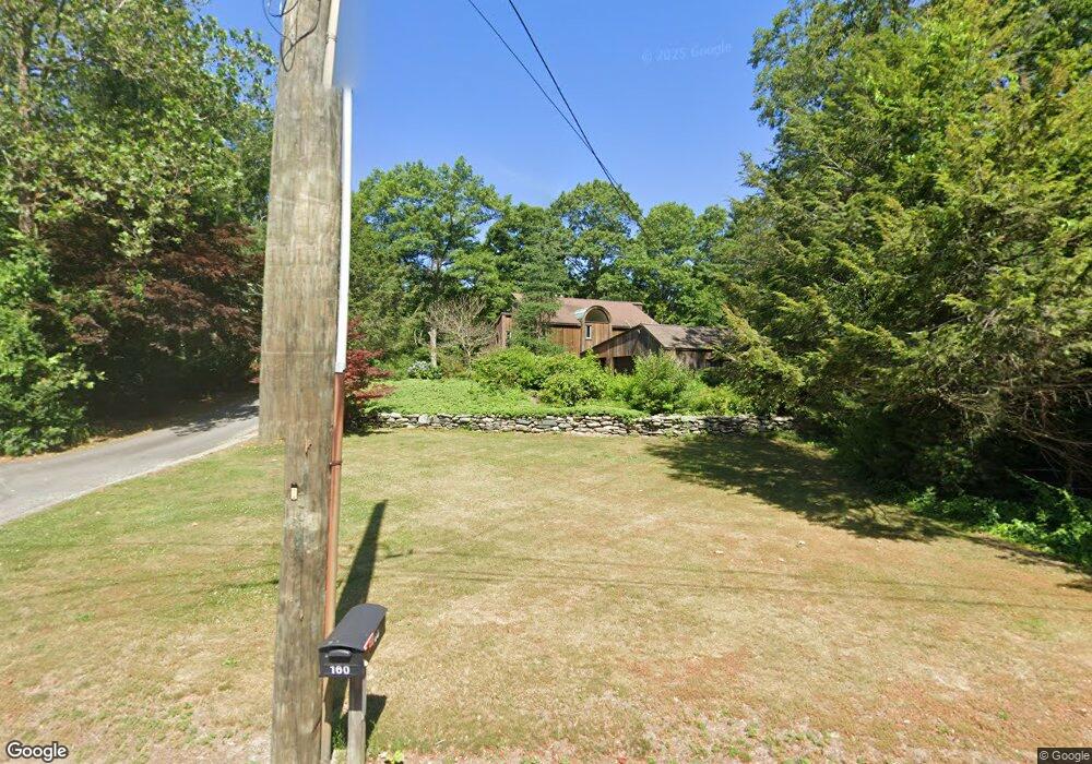
160 Sherwood Ln Raynham, MA 02767
Estimated Value: $827,360 - $1,009,000
3
Beds
3
Baths
3,094
Sq Ft
$291/Sq Ft
Est. Value
About This Home
This home is located at 160 Sherwood Ln, Raynham, MA 02767 and is currently estimated at $901,090, approximately $291 per square foot. 160 Sherwood Ln is a home located in Bristol County with nearby schools including Merrill Elementary School, LaLiberte Elementary School, and Williams Intermediate School.
Ownership History
Date
Name
Owned For
Owner Type
Purchase Details
Closed on
Oct 10, 2001
Sold by
Salvo Joanne M
Bought by
Sares James J and Sares Dawna M
Current Estimated Value
Home Financials for this Owner
Home Financials are based on the most recent Mortgage that was taken out on this home.
Original Mortgage
$175,000
Outstanding Balance
$68,701
Interest Rate
6.93%
Mortgage Type
Purchase Money Mortgage
Estimated Equity
$832,389
Create a Home Valuation Report for This Property
The Home Valuation Report is an in-depth analysis detailing your home's value as well as a comparison with similar homes in the area
Home Values in the Area
Average Home Value in this Area
Purchase History
| Date | Buyer | Sale Price | Title Company |
|---|---|---|---|
| Sares James J | $395,000 | -- |
Source: Public Records
Mortgage History
| Date | Status | Borrower | Loan Amount |
|---|---|---|---|
| Open | Sares James J | $175,000 | |
| Previous Owner | Sares James J | $200,000 | |
| Previous Owner | Sares James J | $70,000 |
Source: Public Records
Tax History Compared to Growth
Tax History
| Year | Tax Paid | Tax Assessment Tax Assessment Total Assessment is a certain percentage of the fair market value that is determined by local assessors to be the total taxable value of land and additions on the property. | Land | Improvement |
|---|---|---|---|---|
| 2025 | $8,250 | $681,800 | $220,400 | $461,400 |
| 2024 | $9,334 | $751,500 | $220,400 | $531,100 |
| 2023 | $8,122 | $597,200 | $198,300 | $398,900 |
| 2022 | $7,894 | $532,300 | $180,300 | $352,000 |
| 2021 | $5,318 | $511,800 | $178,300 | $333,500 |
| 2020 | $5,152 | $505,800 | $172,300 | $333,500 |
| 2019 | $5,024 | $505,800 | $172,300 | $333,500 |
| 2018 | $4,438 | $497,500 | $168,300 | $329,200 |
| 2017 | $7,156 | $476,100 | $160,300 | $315,800 |
| 2016 | $6,988 | $466,500 | $155,100 | $311,400 |
| 2015 | $5,986 | $392,800 | $154,100 | $238,700 |
Source: Public Records
Map
Nearby Homes
- 73 Sherwood Ln
- 100 Pleasant St
- 92 N Main St
- 643 Center St
- 120 King St
- 21 Sully Rd
- 520 King St
- 100 Francine Rd
- 848 N Main St
- 2 Maplewood Ln Unit 21-1
- 0 Maplewood Unit 21.3 73426136
- 0 Maplewood Unit 33-1 73420094
- 970 N Main St
- 53 Queens Cir
- 1037 N Main St
- 930 King St
- 115 Goldfinch Dr
- 208 S Main St
- 152 Forgeriver
- 1 Maplewood Ln Unit 33-3
- 168 Sherwood Ln
- 150 Sherwood Ln
- 135 Sherwood Ln
- 174 Sherwood Ln
- 171 Sherwood Ln
- 140 Sherwood Ln
- 169 Sherwood Ln
- 123 Sherwood Ln
- 188 Sherwood Ln
- 126 Sherwood Ln
- 48 Aspen Hollow Dr
- 43 Aspen Hollow
- 111 Sherwood Ln
- 189 Sherwood Ln
- 112 Sherwood Ln
- 44 Aspen Hollow
- 15 Nottingham Dr
- 200 Sherwood Ln
- 1 Aspen Hollow Dr
- 41 Aspen Hollow