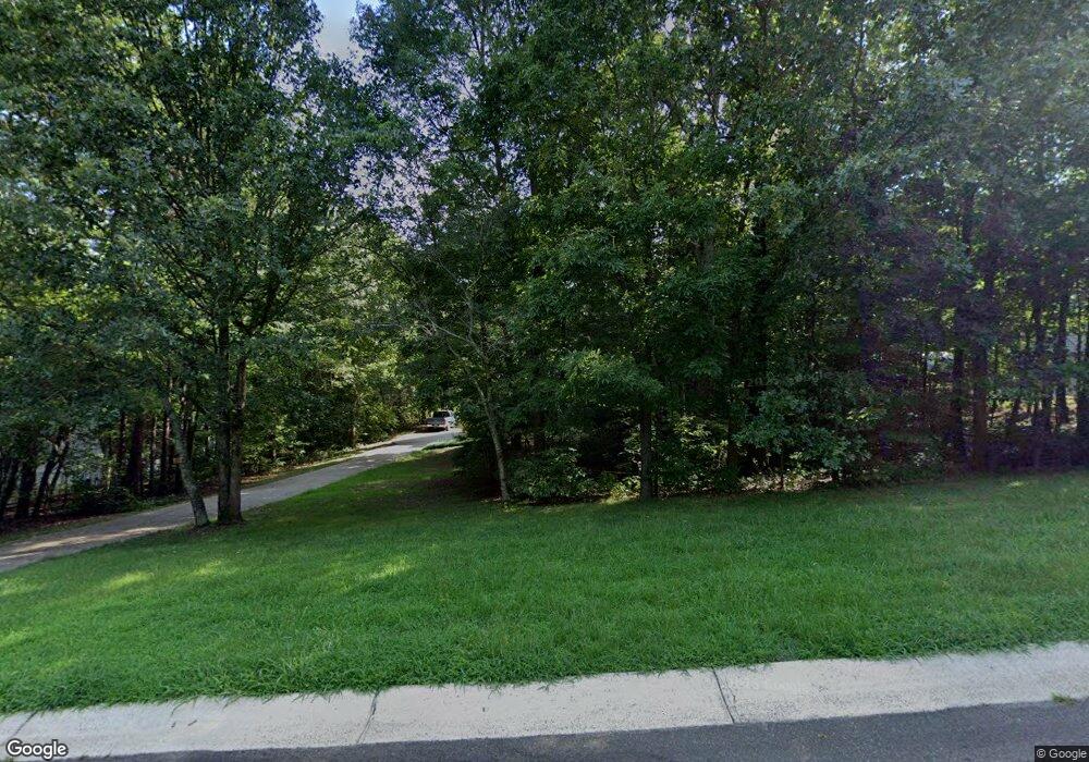
160 Smokestack Ridge Fairmount, GA 30139
Estimated Value: $345,893 - $387,000
--
Bed
3
Baths
1,545
Sq Ft
$238/Sq Ft
Est. Value
About This Home
This home is located at 160 Smokestack Ridge, Fairmount, GA 30139 and is currently estimated at $367,223, approximately $237 per square foot. 160 Smokestack Ridge is a home located in Pickens County with nearby schools including Hill City Elementary School, Pickens County Middle School, and Pickens County High School.
Ownership History
Date
Name
Owned For
Owner Type
Purchase Details
Closed on
Nov 26, 2002
Sold by
Moody Glen and Moody Shelley
Bought by
Crenshaw Richard A
Current Estimated Value
Purchase Details
Closed on
Mar 27, 2002
Bought by
Moody Glen and Moody Shelley
Create a Home Valuation Report for This Property
The Home Valuation Report is an in-depth analysis detailing your home's value as well as a comparison with similar homes in the area
Home Values in the Area
Average Home Value in this Area
Purchase History
| Date | Buyer | Sale Price | Title Company |
|---|---|---|---|
| Crenshaw Richard A | $149,900 | -- | |
| Moody Glen | $24,500 | -- |
Source: Public Records
Tax History Compared to Growth
Tax History
| Year | Tax Paid | Tax Assessment Tax Assessment Total Assessment is a certain percentage of the fair market value that is determined by local assessors to be the total taxable value of land and additions on the property. | Land | Improvement |
|---|---|---|---|---|
| 2024 | $1,323 | $66,871 | $10,000 | $56,871 |
| 2023 | $1,360 | $66,871 | $10,000 | $56,871 |
| 2022 | $1,360 | $66,871 | $10,000 | $56,871 |
| 2021 | $1,457 | $66,871 | $10,000 | $56,871 |
| 2020 | $1,501 | $66,871 | $10,000 | $56,871 |
| 2019 | $1,535 | $66,871 | $10,000 | $56,871 |
| 2018 | $1,550 | $66,871 | $10,000 | $56,871 |
| 2017 | $1,315 | $55,813 | $10,000 | $45,813 |
| 2016 | $1,336 | $55,813 | $10,000 | $45,813 |
| 2015 | $1,304 | $55,813 | $10,000 | $45,813 |
| 2014 | $1,307 | $55,813 | $10,000 | $45,813 |
| 2013 | -- | $55,813 | $10,000 | $45,813 |
Source: Public Records
Map
Nearby Homes
- 90 Chimney Sweep Trail
- 0 Henderson Mountain Rd Unit 7205- SOUTH 10585324
- 7567 Henderson Mountain Rd
- 1 Amber Ct
- 0 Acerose Dr Unit LOT 402
- 0 Quail Way Unit LOT 533
- 0 Quail Way Unit 7685106
- 210 Laurel View Dr
- 520 Mulberry Cir
- 2520 Carlan Rd
- 5997 Henderson Mountain Rd
- 386 Mulberry Cir
- 402 Acerose Dr
- 9351 Henderson Mountain Rd
- 519 Mulberry Cir
- 0 Acerose Ct Unit 10615260
- 436 Mulberry Ln
- 0 Mulberry Ln Unit LOT 436
- 165 Field Stone Cir
- 175 Stoneledge Rd
- 216 Smokestack Ridge
- 186 Smokestack Ridge
- 186 Smokestack Ridge
- 214 Smokestack Ridge
- 217 Smokestack Ridge
- 118 Smokestack Ridge
- 204 Smokestack Ridge
- 137 Smokestack Ridge
- 181 Smokestack Ridge
- 100 Smokestack Ridge
- 111 Smokestack Ridge
- 4058 Soaring Hawk Way
- 72 Smokestack Ridge
- 2544 Carlan Rd
- 45 Chimney Way
- 2485 Carlan Rd
- 186 Soaring Hawk Way
- 175 Soaring Hawk Way
- 140 Soaring Hawk Way
- 36 Smokestack Ridge
