160 Soapstone Way Canton, GA 30115
Union Hill NeighborhoodEstimated Value: $891,000 - $1,447,024
3
Beds
3
Baths
5,252
Sq Ft
$236/Sq Ft
Est. Value
About This Home
This home is located at 160 Soapstone Way, Canton, GA 30115 and is currently estimated at $1,240,256, approximately $236 per square foot. 160 Soapstone Way is a home with nearby schools including Avery Elementary School, Creekland Middle School, and Creekview High School.
Ownership History
Date
Name
Owned For
Owner Type
Purchase Details
Closed on
Jul 14, 2014
Sold by
Fletcher Robert A
Bought by
Bragg Joseph L and Bragg Bettie Carey
Current Estimated Value
Purchase Details
Closed on
Jun 12, 2006
Sold by
Hohl Andrew G and Hohl Lori J
Bought by
Fletcher Robert A and Fletcher Christina B
Home Financials for this Owner
Home Financials are based on the most recent Mortgage that was taken out on this home.
Original Mortgage
$244,602
Interest Rate
6.51%
Mortgage Type
New Conventional
Create a Home Valuation Report for This Property
The Home Valuation Report is an in-depth analysis detailing your home's value as well as a comparison with similar homes in the area
Home Values in the Area
Average Home Value in this Area
Purchase History
| Date | Buyer | Sale Price | Title Company |
|---|---|---|---|
| Bragg Joseph L | $203,000 | -- | |
| Fletcher Robert A | $271,800 | -- |
Source: Public Records
Mortgage History
| Date | Status | Borrower | Loan Amount |
|---|---|---|---|
| Previous Owner | Fletcher Robert A | $244,602 |
Source: Public Records
Tax History Compared to Growth
Tax History
| Year | Tax Paid | Tax Assessment Tax Assessment Total Assessment is a certain percentage of the fair market value that is determined by local assessors to be the total taxable value of land and additions on the property. | Land | Improvement |
|---|---|---|---|---|
| 2025 | $2,686 | $542,280 | $146,000 | $396,280 |
| 2024 | $8,491 | $528,400 | $146,000 | $382,400 |
| 2023 | $8,491 | $543,760 | $146,000 | $397,760 |
| 2022 | $8,103 | $485,120 | $146,000 | $339,120 |
| 2021 | $4,989 | $312,640 | $85,160 | $227,480 |
| 2020 | $5,102 | $315,320 | $85,160 | $230,160 |
| 2019 | $4,560 | $289,800 | $64,880 | $224,920 |
| 2018 | $4,545 | $283,880 | $64,880 | $219,000 |
| 2017 | $5,812 | $504,300 | $64,880 | $136,840 |
| 2016 | $1,889 | $162,200 | $64,880 | $0 |
| 2015 | $1,907 | $162,200 | $64,880 | $0 |
| 2014 | $1,911 | $162,200 | $64,880 | $0 |
Source: Public Records
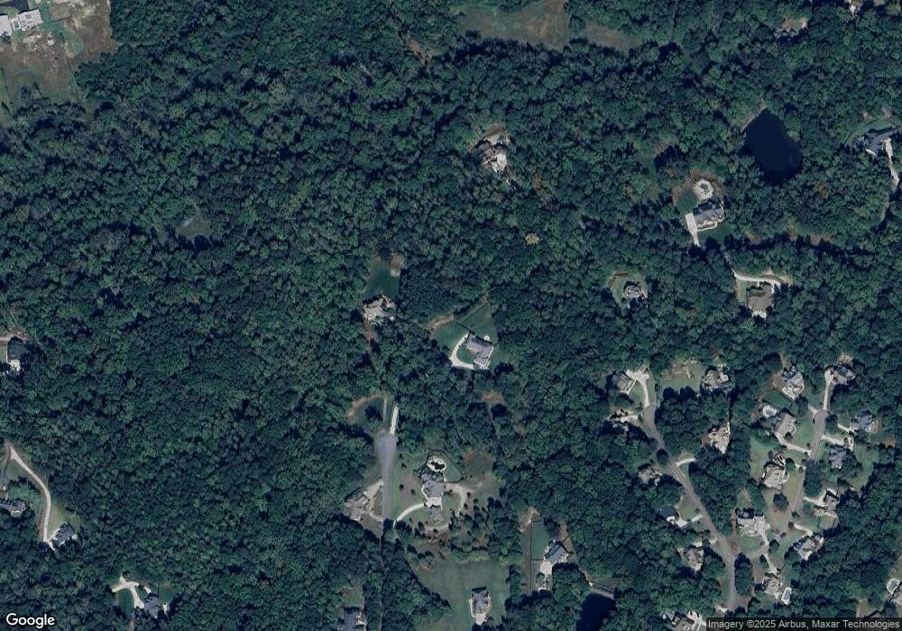
Map
Nearby Homes
- 7820 E Cherokee Dr
- 8143 E Cherokee Dr
- 102 Carmichael Dr
- 302 Carmichael Cir
- 1996 Thomas Rd
- 1205 Sterlington Dr
- 6428 E Cherokee Dr
- 1209 Sterlington Dr
- 2001 Epperson Rd
- 1217 Sterlington Dr
- 6438 E Cherokee Dr
- 1216 Sterlington Dr
- 182 Oak Forest Dr
- 205 Northampton Ct
- 1240 Evans Cook Rd
- 487 Carmichael Cir
- 0 Memory Ln Unit 10529153
- 258 Arliss Dr
- 1281 Sterlington Dr
- 826 Buffington Way
- 161 Soapstone Way
- 140 Soapstone Way
- 131 Shiloh Ridge Trail
- 107 Creekview Crossing
- 129 Shiloh Ridge Trail
- 112 Creekview Crossing
- 127 Shiloh Ridge Trail
- 121 Shiloh Ridge Trail
- 141 Soapstone Way
- 126 Shiloh Ridge Trail
- 124 Shiloh Ridge Trail
- 125 Shiloh Ridge Trail
- 105 Creekview Crossing
- 105 Creekview Crossing Unit Lot 3
- 105 Creekview Crossing Unit Lot 22
- 130 Soapstone Way
- 123 Shiloh Ridge Trail
- 131 Soapstone Way
- 307 Hickory Ridge Ct
- 301 Hickory Ridge Ct