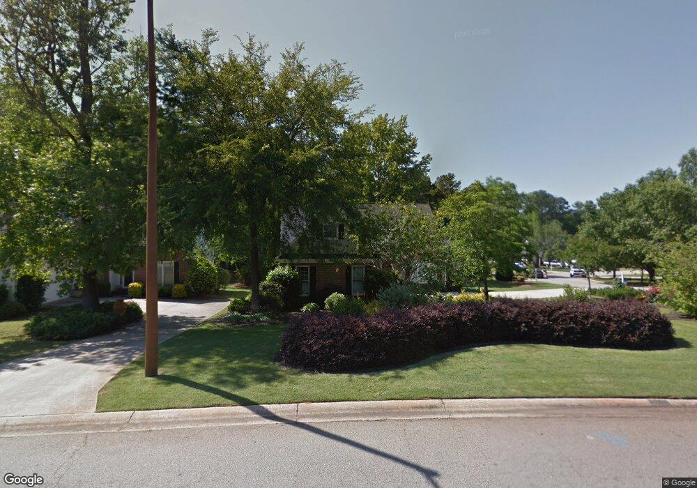
160 Springfield Blvd Macon, GA 31210
Estimated Value: $222,070 - $264,000
3
Beds
3
Baths
1,786
Sq Ft
$134/Sq Ft
Est. Value
About This Home
This home is located at 160 Springfield Blvd, Macon, GA 31210 and is currently estimated at $238,518, approximately $133 per square foot. 160 Springfield Blvd is a home located in Bibb County with nearby schools including Springdale Elementary School, Howard Middle School, and Howard High School.
Ownership History
Date
Name
Owned For
Owner Type
Purchase Details
Closed on
Jun 10, 2019
Sold by
Frizzell Barbara T
Bought by
Wesley Walker Family Lp Lllp
Current Estimated Value
Home Financials for this Owner
Home Financials are based on the most recent Mortgage that was taken out on this home.
Original Mortgage
$138,627
Outstanding Balance
$56,466
Interest Rate
4.2%
Mortgage Type
Future Advance Clause Open End Mortgage
Estimated Equity
$182,052
Purchase Details
Closed on
Jun 1, 2001
Bought by
Frizzell Barbara T
Create a Home Valuation Report for This Property
The Home Valuation Report is an in-depth analysis detailing your home's value as well as a comparison with similar homes in the area
Purchase History
| Date | Buyer | Sale Price | Title Company |
|---|---|---|---|
| Wesley Walker Family Lp Lllp | $150,000 | None Available | |
| Frizzell Barbara T | $139,500 | -- |
Source: Public Records
Mortgage History
| Date | Status | Borrower | Loan Amount |
|---|---|---|---|
| Open | Wesley Walker Family Lp Lllp | $138,627 |
Source: Public Records
Tax History
| Year | Tax Paid | Tax Assessment Tax Assessment Total Assessment is a certain percentage of the fair market value that is determined by local assessors to be the total taxable value of land and additions on the property. | Land | Improvement |
|---|---|---|---|---|
| 2025 | $2,200 | $89,519 | $12,000 | $77,519 |
| 2024 | $2,188 | $86,148 | $12,000 | $74,148 |
| 2023 | $1,966 | $77,408 | $10,000 | $67,408 |
| 2022 | $2,418 | $69,847 | $10,170 | $59,677 |
| 2021 | $2,430 | $63,938 | $9,450 | $54,488 |
| 2020 | $2,329 | $63,938 | $9,450 | $54,488 |
| 2019 | $2,223 | $56,790 | $8,550 | $48,240 |
| 2018 | $3,585 | $56,790 | $8,550 | $48,240 |
| 2017 | $1,908 | $50,937 | $7,650 | $43,287 |
| 2016 | $1,762 | $50,937 | $7,650 | $43,287 |
| 2015 | $2,494 | $50,937 | $7,650 | $43,287 |
| 2014 | $2,156 | $50,937 | $7,650 | $43,287 |
Source: Public Records
Map
Nearby Homes
- 108 Hillbrooke Ct
- 123 Saddle Run Ct
- 1297 Wesleyan Dr
- 204 Carriage Way
- 5341 Northside Dr
- 1643 Wesleyan Hills Dr
- 5369 Rivoli Dr
- 1064 Brookford Rd
- 5158 Bowman Rd
- 181 Rivoli Landing
- 100 Palmer Dr
- 807 Wera Place
- 135 Chadwick Dr
- 175 Rivoli Landing
- 169 Brookefield Dr
- 137 Senora Place
- 567 Billingswood Dr
- 116 Brookefield Dr
- 310 Chadwick Ct
- 405 Amberly Ct
- 156 Springfield Blvd
- 104 Brieghton Ct
- 152 Springfield Blvd
- 164 Springfield Blvd
- 108 Brieghton Ct
- 105 Brieghton Ct
- 159 Springfield Blvd
- 161 Springfield Blvd
- 148 Springfield Blvd
- 151 Springfield Blvd
- 165 Springfield Blvd
- 112 Brieghton Ct
- 115 Brieghton Ct
- 2129 Brieghton Ct
- 147 Springfield Blvd
- 168 Springfield Blvd
- 142 Springfield Blvd
- 169 Springfield Blvd
- 116 Brieghton Ct
- 118 Durham Place
Your Personal Tour Guide
Ask me questions while you tour the home.