160 Spruce Cir Mineral Bluff, GA 30559
Estimated Value: $240,000 - $581,000
--
Bed
--
Bath
1,160
Sq Ft
$325/Sq Ft
Est. Value
About This Home
This home is located at 160 Spruce Cir, Mineral Bluff, GA 30559 and is currently estimated at $376,493, approximately $324 per square foot. 160 Spruce Cir is a home with nearby schools including Fannin County High School.
Ownership History
Date
Name
Owned For
Owner Type
Purchase Details
Closed on
Sep 7, 2006
Sold by
Milton Loretta C
Bought by
Pfund Kenneth B
Current Estimated Value
Home Financials for this Owner
Home Financials are based on the most recent Mortgage that was taken out on this home.
Original Mortgage
$98,100
Outstanding Balance
$58,430
Interest Rate
6.52%
Mortgage Type
New Conventional
Estimated Equity
$318,063
Purchase Details
Closed on
Oct 7, 1999
Sold by
Poole Oscar
Bought by
Milton Sidney T
Purchase Details
Closed on
Sep 10, 1986
Bought by
Poole Oscar
Create a Home Valuation Report for This Property
The Home Valuation Report is an in-depth analysis detailing your home's value as well as a comparison with similar homes in the area
Home Values in the Area
Average Home Value in this Area
Purchase History
| Date | Buyer | Sale Price | Title Company |
|---|---|---|---|
| Pfund Kenneth B | $109,000 | -- | |
| Milton Sidney T | $47,500 | -- | |
| Poole Oscar | $8,100 | -- |
Source: Public Records
Mortgage History
| Date | Status | Borrower | Loan Amount |
|---|---|---|---|
| Open | Pfund Kenneth B | $98,100 |
Source: Public Records
Tax History Compared to Growth
Tax History
| Year | Tax Paid | Tax Assessment Tax Assessment Total Assessment is a certain percentage of the fair market value that is determined by local assessors to be the total taxable value of land and additions on the property. | Land | Improvement |
|---|---|---|---|---|
| 2024 | $657 | $84,979 | $11,279 | $73,700 |
| 2023 | $624 | $70,722 | $11,279 | $59,443 |
| 2022 | $631 | $71,619 | $11,279 | $60,340 |
| 2021 | $567 | $42,466 | $8,290 | $34,176 |
| 2020 | $577 | $42,466 | $8,290 | $34,176 |
| 2019 | $483 | $35,250 | $8,290 | $26,960 |
| 2018 | $480 | $33,179 | $6,219 | $26,960 |
| 2017 | $594 | $33,563 | $6,219 | $27,344 |
| 2016 | $496 | $31,197 | $6,219 | $24,978 |
| 2015 | $647 | $38,442 | $12,438 | $26,003 |
| 2014 | $789 | $49,854 | $19,550 | $30,305 |
| 2013 | -- | $36,494 | $19,549 | $16,944 |
Source: Public Records
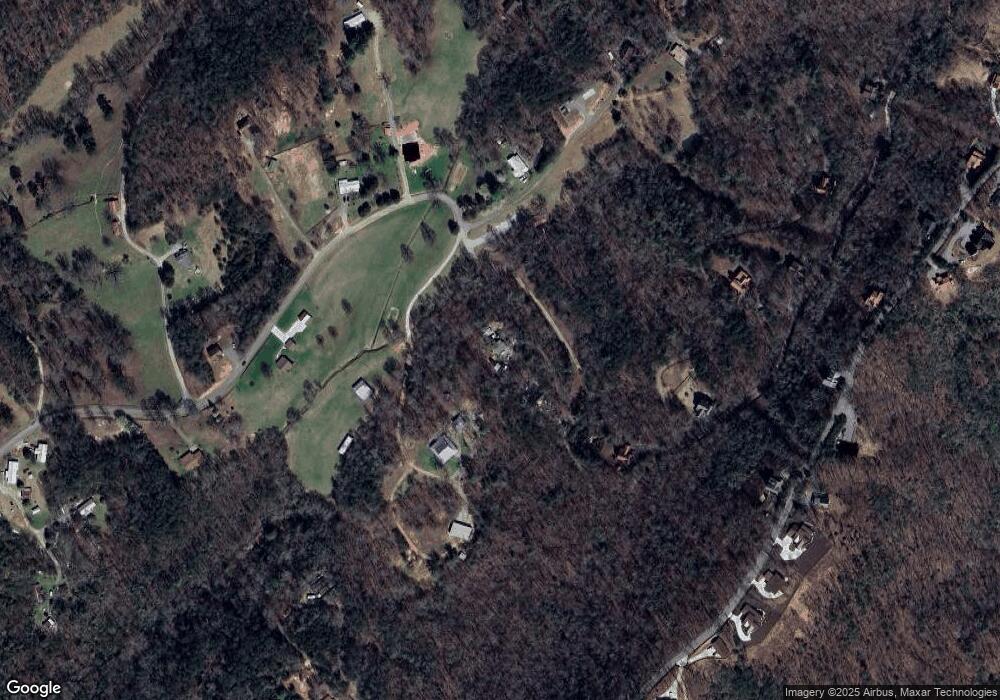
Map
Nearby Homes
- 433 Spruce Cir
- 437 Spruce Cir
- 437 Spruce Cir Unit G
- 313 Spruce Cir
- 588 Tower Rd
- 530 Tower Rd Unit 3
- 530 Tower Rd
- 506 Tower Rd
- 506 Tower Rd Unit 3
- NA Piney Rd
- 100 Wintermute Dr
- LOT 41 Ridgeline Ln
- 789 Old Pond Mill Rd
- 60 Jackies Bluff Rd
- 705 Hickory Dr
- 2400 Hardscrabble Rd
- 0 Piney Rd Unit 10395324
- Lot 12A Oak Loop
- 2461 Salem Rd
- 2372 Humphrey Mill Rd
- 164 Spruce Cir
- LOT 3 Packards View Dr
- 570 Wade Cross Rd
- 325 Spruce Cir
- 433 Spruce Cir
- 433 Spruce Cir Unit H
- 575 Wade Cross Rd
- 0 Tower Ln Unit 8387163
- Lot 3 Spruce Cir
- 0 McCullough Switch Unit 139520
- 0 Newberry Dr Unit 8824485
- 952 Spruce Cir Unit 8
- 952 Spruce Cir
- 0 Spruce Cir Unit 7478262
- 0 Spruce Cir Unit 8128591
- 0 Spruce Cir Unit 8009735
- 0 Spruce Cir Unit 8065300
- 0 Spruce Cir Unit 3200469
- 0 Spruce Cir
- 657 Wade Cross Rd