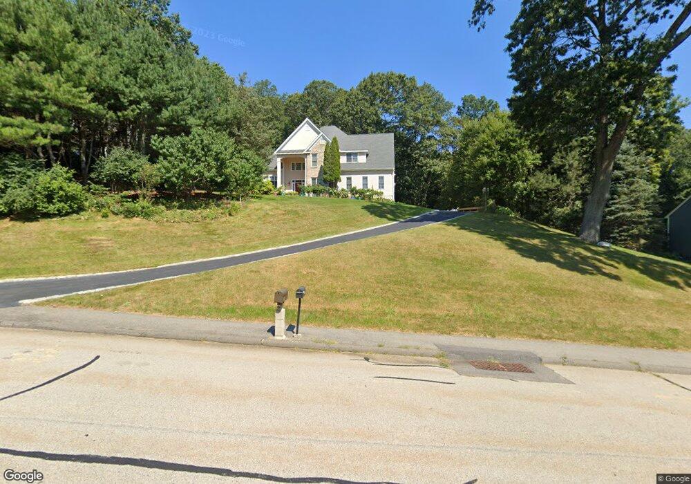
160 Stearns Rd Marlborough, MA 01752
Estimated Value: $914,000 - $1,040,000
4
Beds
4
Baths
3,185
Sq Ft
$305/Sq Ft
Est. Value
About This Home
This home is located at 160 Stearns Rd, Marlborough, MA 01752 and is currently estimated at $972,180, approximately $305 per square foot. 160 Stearns Rd is a home located in Middlesex County with nearby schools including Marlborough High School, Advanced Math & Science Academy, and New Covenant Christian School.
Ownership History
Date
Name
Owned For
Owner Type
Purchase Details
Closed on
Jun 14, 2005
Sold by
Dematos Abilio and Dematos Sebastiana
Bought by
Jiang Desheng and Huang Jinyun
Current Estimated Value
Purchase Details
Closed on
Sep 25, 2002
Sold by
Hood Osbert M
Bought by
Dematos Abilio and Dematos Sebastiana
Purchase Details
Closed on
Sep 17, 1993
Sold by
Barberry Farms Rt and Gallipeau Peter
Bought by
Hood Osbert M
Create a Home Valuation Report for This Property
The Home Valuation Report is an in-depth analysis detailing your home's value as well as a comparison with similar homes in the area
Home Values in the Area
Average Home Value in this Area
Purchase History
| Date | Buyer | Sale Price | Title Company |
|---|---|---|---|
| Jiang Desheng | $598,000 | -- | |
| Dematos Abilio | $539,900 | -- | |
| Hood Osbert M | $315,000 | -- |
Source: Public Records
Mortgage History
| Date | Status | Borrower | Loan Amount |
|---|---|---|---|
| Open | Hood Osbert M | $57,000 | |
| Open | Hood Osbert M | $375,000 | |
| Closed | Hood Osbert M | $378,000 | |
| Closed | Hood Osbert M | $384,000 |
Source: Public Records
Tax History Compared to Growth
Tax History
| Year | Tax Paid | Tax Assessment Tax Assessment Total Assessment is a certain percentage of the fair market value that is determined by local assessors to be the total taxable value of land and additions on the property. | Land | Improvement |
|---|---|---|---|---|
| 2025 | $8,592 | $871,400 | $263,600 | $607,800 |
| 2024 | $8,369 | $817,300 | $239,600 | $577,700 |
| 2023 | $8,086 | $700,700 | $201,800 | $498,900 |
| 2022 | $7,736 | $589,600 | $192,200 | $397,400 |
| 2021 | $0 | $572,800 | $163,100 | $409,700 |
| 2020 | $0 | $536,100 | $141,800 | $394,300 |
| 2019 | $0 | $531,700 | $146,600 | $385,100 |
| 2018 | $6,528 | $446,200 | $131,000 | $315,200 |
| 2017 | $7,305 | $476,800 | $132,300 | $344,500 |
| 2016 | $7,265 | $473,600 | $132,300 | $341,300 |
| 2015 | $7,778 | $493,500 | $138,400 | $355,100 |
Source: Public Records
Map
Nearby Homes
- 11 Whispering Brook Rd Unit 55
- 39 Desimone Dr
- 8 Saint Mary's Way Unit 8
- 30 Broad St Unit 104
- 58 Walker St
- 30A Winter Ave
- lot 1 Sears Rd
- 76 Broad St
- 102 Liberty St
- 11 Paris St
- 120 Airport Blvd
- 2 Adams St
- 115 W Main St
- 146 Framingham Rd
- 61 Fairmount St Unit 11
- 32 Water St
- 3 Madison St
- 87 Neil St
- 144 Howe St
- 14 Wolfpen Ln
- 172 Stearns Rd
- 148 Stearns Rd
- 148 Stearns Rd Unit 148
- 148 Stearns Rd Unit 1
- 159 Stearns Rd
- 171 Stearns Rd
- 147 Stearns Rd
- 188 Stearns Rd
- 183 Stearns Rd
- 281 Stearns Rd
- 269 Stearns Rd
- 124 Stearns Rd
- 196 Stearns Rd
- 170 Morrissey Rd
- 293 Stearns Rd
- 123 Stearns Rd
- 257 Stearns Rd
- 199 Stearns Rd
- 120 Morrissey Rd
- 112 Stearns Rd