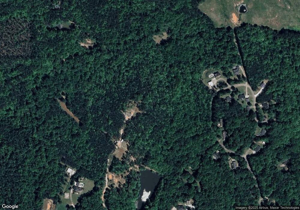
160 W Miles Rd Carrollton, GA 30116
Estimated Value: $96,000 - $501,735
--
Bed
--
Bath
--
Sq Ft
26.34
Acres
About This Home
This home is located at 160 W Miles Rd, Carrollton, GA 30116 and is currently estimated at $318,245. 160 W Miles Rd is a home with nearby schools including Whitesburg Elementary School, Central Middle School, and Central High School.
Ownership History
Date
Name
Owned For
Owner Type
Purchase Details
Closed on
Dec 8, 2023
Sold by
Purcell Austin
Bought by
Purcell Kendall
Current Estimated Value
Home Financials for this Owner
Home Financials are based on the most recent Mortgage that was taken out on this home.
Original Mortgage
$160,000
Interest Rate
7.5%
Mortgage Type
New Conventional
Purchase Details
Closed on
Jun 28, 2017
Sold by
Anderson Andy W
Bought by
Purcell Purcell Kendall Kendall and Purcell Austin
Home Financials for this Owner
Home Financials are based on the most recent Mortgage that was taken out on this home.
Original Mortgage
$170,000
Interest Rate
3.94%
Mortgage Type
New Conventional
Purchase Details
Closed on
Apr 6, 2007
Sold by
Not Provided
Bought by
Anderson Andy W
Purchase Details
Closed on
Jan 22, 2001
Bought by
Byars K David
Create a Home Valuation Report for This Property
The Home Valuation Report is an in-depth analysis detailing your home's value as well as a comparison with similar homes in the area
Home Values in the Area
Average Home Value in this Area
Purchase History
| Date | Buyer | Sale Price | Title Company |
|---|---|---|---|
| Purcell Kendall | -- | -- | |
| Purcell Purcell Kendall Kendall | $200,000 | -- | |
| Anderson Andy W | $525,000 | -- | |
| Byars K David | -- | -- |
Source: Public Records
Mortgage History
| Date | Status | Borrower | Loan Amount |
|---|---|---|---|
| Closed | Purcell Kendall | $160,000 | |
| Previous Owner | Purcell Purcell Kendall Kendall | $170,000 |
Source: Public Records
Tax History Compared to Growth
Tax History
| Year | Tax Paid | Tax Assessment Tax Assessment Total Assessment is a certain percentage of the fair market value that is determined by local assessors to be the total taxable value of land and additions on the property. | Land | Improvement |
|---|---|---|---|---|
| 2024 | $2,942 | $130,054 | $126,175 | $3,879 |
| 2023 | $2,942 | $118,275 | $114,396 | $3,879 |
| 2022 | $1,991 | $79,392 | $76,264 | $3,128 |
| 2021 | $1,613 | $62,900 | $61,010 | $1,890 |
| 2020 | $1,770 | $68,974 | $68,974 | $0 |
| 2019 | $1,785 | $68,974 | $68,974 | $0 |
| 2018 | $1,811 | $68,974 | $68,974 | $0 |
| 2017 | $1,817 | $68,974 | $68,974 | $0 |
| 2016 | $1,817 | $68,974 | $68,974 | $0 |
| 2015 | $2,310 | $82,600 | $82,600 | $0 |
| 2014 | $2,320 | $82,600 | $82,600 | $0 |
Source: Public Records
Map
Nearby Homes
- 00 Heath Rd
- 0 Heath Rd Unit 20173471
- 200 Heath Rd
- 2800 Georgia 16
- 2800 Sr 16
- 0 Bankhead Hwy and Sassafras Unit 140936
- 2716 Georgia 16
- 2181 2201 Star Point
- 357 Old Driver Rd
- 0 Clem Lowell Rd Unit 10479926
- 0 Clem Lowell Rd Unit 147578
- 0 Clem Lowell Rd Unit 7630669
- 207 Sally Duke Dr
- 185 White Oak Ct
- 501 Hollis Thompson Dr
- 201 Little New York Rd
- 570 Old Driver Rd
- 369 Old Driver Rd
- 409 Old Driver Rd
- 248 Sally Duke Dr
