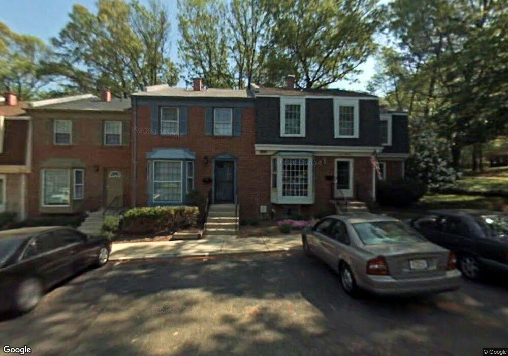
1600 Angus Ct Crofton, MD 21114
Estimated Value: $468,828 - $524,000
--
Bed
4
Baths
1,828
Sq Ft
$266/Sq Ft
Est. Value
About This Home
This home is located at 1600 Angus Ct, Crofton, MD 21114 and is currently estimated at $486,207, approximately $265 per square foot. 1600 Angus Ct is a home located in Anne Arundel County with nearby schools including Crofton Elementary School, Crofton Middle School, and Crofton High School.
Ownership History
Date
Name
Owned For
Owner Type
Purchase Details
Closed on
Aug 1, 1995
Sold by
Sinton John E
Bought by
Grimaud Steven W
Current Estimated Value
Home Financials for this Owner
Home Financials are based on the most recent Mortgage that was taken out on this home.
Original Mortgage
$162,180
Interest Rate
7.56%
Purchase Details
Closed on
Jul 30, 1986
Sold by
Wallick David E
Bought by
Sinton John E
Home Financials for this Owner
Home Financials are based on the most recent Mortgage that was taken out on this home.
Original Mortgage
$90,000
Interest Rate
10.4%
Create a Home Valuation Report for This Property
The Home Valuation Report is an in-depth analysis detailing your home's value as well as a comparison with similar homes in the area
Home Values in the Area
Average Home Value in this Area
Purchase History
| Date | Buyer | Sale Price | Title Company |
|---|---|---|---|
| Grimaud Steven W | $159,000 | -- | |
| Sinton John E | $126,000 | -- |
Source: Public Records
Mortgage History
| Date | Status | Borrower | Loan Amount |
|---|---|---|---|
| Closed | Grimaud Steven W | $162,180 | |
| Previous Owner | Sinton John E | $90,000 |
Source: Public Records
Tax History Compared to Growth
Tax History
| Year | Tax Paid | Tax Assessment Tax Assessment Total Assessment is a certain percentage of the fair market value that is determined by local assessors to be the total taxable value of land and additions on the property. | Land | Improvement |
|---|---|---|---|---|
| 2025 | $3,577 | $407,133 | -- | -- |
| 2024 | $3,577 | $379,467 | $0 | $0 |
| 2023 | $3,427 | $351,800 | $170,000 | $181,800 |
| 2022 | $3,674 | $351,533 | $0 | $0 |
| 2021 | $6,357 | $351,267 | $0 | $0 |
| 2020 | $3,032 | $351,000 | $170,000 | $181,000 |
| 2019 | $5,775 | $339,333 | $0 | $0 |
| 2018 | $3,323 | $327,667 | $0 | $0 |
| 2017 | $2,779 | $316,000 | $0 | $0 |
| 2016 | -- | $306,000 | $0 | $0 |
| 2015 | -- | $296,000 | $0 | $0 |
| 2014 | -- | $286,000 | $0 | $0 |
Source: Public Records
Map
Nearby Homes
- 1682 Albermarle Dr
- 1756 Albermarle Dr
- 1503 Carlyle Dr
- 1410 Nutwood Ct
- 1440 Nutwood Ct
- 1567 Fallowfield Ct
- 1466 Flatwood Ct
- 1683 Fallowfield Ct
- 1700 Fallowfield Ct
- 1729 Dana St Unit 6
- 1710 Fallowfield Ct
- 1304 Quiet Lake Cove
- 1746 Floral Ct
- 1678 Wilkshire Dr
- 1722 Whitestone Ct Unit 51
- 1223 Martha Greenleaf Dr
- 2241 Aberdeen Dr
- 1377 Meyers Station Rd
- 1599 Chapman Rd
- 1804 Aberdeen Cir
- 1602 Angus Ct
- 1604 Angus Ct
- 1604 Angus Ct Unit 79
- 1606 Angus Ct
- 1608 Angus Ct
- 1610 Angus Ct
- 1610 Angus Ct Unit 76
- 1612 Angus Ct
- 1648 Albermarle Dr
- 1648 Albermarle Dr Unit 57
- 1614 Angus Ct
- 1590 Bandury Ct
- 1590 Bandury Ct Unit 86
- 1592 Bandury Ct
- 1594 Bandury Ct
- 1596 Bandury Ct
- 1588 Bandury Ct
- 1598 Bandury Ct
- 1650 Albermarle Dr
- 1646 Angus Ct