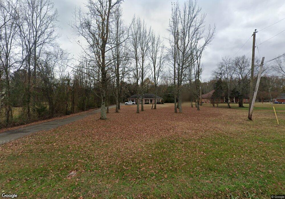
1600 Blake Bottom Rd NW Huntsville, AL 35806
Research Park NeighborhoodEstimated Value: $313,000 - $373,000
--
Bed
1
Bath
1,930
Sq Ft
$178/Sq Ft
Est. Value
About This Home
This home is located at 1600 Blake Bottom Rd NW, Huntsville, AL 35806 and is currently estimated at $343,724, approximately $178 per square foot. 1600 Blake Bottom Rd NW is a home with nearby schools including Monrovia Elementary School, Monrovia Middle School, and Sparkman High School.
Ownership History
Date
Name
Owned For
Owner Type
Purchase Details
Closed on
Mar 28, 2022
Sold by
Erle Wright Phillips Family Trust
Bought by
Spl Wong Llc
Current Estimated Value
Purchase Details
Closed on
Sep 4, 2007
Sold by
Wong Celia Wai Ling
Bought by
Wong Celia Wai Ling and Wong Donny
Purchase Details
Closed on
Apr 27, 2007
Sold by
Sanders Steven L and Sanders Janice L
Bought by
Wong Celia Wai Ling
Home Financials for this Owner
Home Financials are based on the most recent Mortgage that was taken out on this home.
Original Mortgage
$218,500
Interest Rate
6.1%
Mortgage Type
New Conventional
Create a Home Valuation Report for This Property
The Home Valuation Report is an in-depth analysis detailing your home's value as well as a comparison with similar homes in the area
Home Values in the Area
Average Home Value in this Area
Purchase History
| Date | Buyer | Sale Price | Title Company |
|---|---|---|---|
| Spl Wong Llc | -- | -- | |
| Wong Celia Wai Ling | -- | -- | |
| Wong Celia Wai Ling | -- | -- |
Source: Public Records
Mortgage History
| Date | Status | Borrower | Loan Amount |
|---|---|---|---|
| Previous Owner | Wong Celia Wai Ling | $218,500 |
Source: Public Records
Tax History Compared to Growth
Tax History
| Year | Tax Paid | Tax Assessment Tax Assessment Total Assessment is a certain percentage of the fair market value that is determined by local assessors to be the total taxable value of land and additions on the property. | Land | Improvement |
|---|---|---|---|---|
| 2024 | $1,988 | $55,380 | $11,160 | $44,220 |
| 2023 | $1,988 | $53,780 | $11,160 | $42,620 |
| 2022 | $1,677 | $46,680 | $9,000 | $37,680 |
| 2021 | $1,580 | $44,020 | $9,000 | $35,020 |
| 2020 | $1,514 | $41,680 | $9,000 | $32,680 |
| 2019 | $1,440 | $40,200 | $9,000 | $31,200 |
| 2018 | $1,321 | $36,860 | $0 | $0 |
| 2017 | $1,321 | $36,860 | $0 | $0 |
| 2016 | $1,321 | $36,860 | $0 | $0 |
| 2015 | $1,321 | $36,860 | $0 | $0 |
| 2014 | $1,329 | $37,080 | $0 | $0 |
Source: Public Records
Map
Nearby Homes
- 140 Lovvorn Ln NW
- 117 Kretzer Ct
- 102 Kretzer Ct
- 167 Kingswood Dr
- 138 Holbrook Dr
- 108 Quail Hollow Rd NW
- 122 Kingswood Dr
- 103 Sherwin Ave
- 111 Kingswood Dr
- 120 Arbery Dr NW
- 108 Holbrook Dr
- 138 Harness Dr
- 115 Misty Hollow Way
- 122 Navaho Trail
- 129 Ivywood Rd
- 113 Thomas Woods Ct
- 1217 Indian Creek Rd NW
- 612 Indian Creek Rd NW
- 7038 Camrose Ln NW
- 131 Fairington Rd NW
- 1612 Blake Bottom Rd NW
- 1584 Blake Bottom Rd NW
- 1624 Blake Bottom Rd NW
- 1636 Blake Bottom Rd NW
- 1544 Blake Bottom Rd NW
- 0 Blake Bottom Rd Unit 1088572
- 1646 Blake Bottom Rd NW
- 1621 Blake Bottom Rd NW
- 1524 Blake Bottom Rd NW
- 125 Farmstead Rd NW
- 1647 Blake Bottom Rd NW
- 150 Lovvorn Ln NW
- 137 Raccoon Trace
- 135 Raccoon Trace
- 156 Farmstead Rd NW
- 146 Lovvorn Ln NW
- 144 Lovvorn Ln NW
- 155 Farmstead Rd NW
- 139 Raccoon Trace
- 119 Nevin Cir