1600 Brooksquare Dr Capitol Heights, MD 20743
Estimated Value: $204,000 - $265,000
--
Bed
--
Bath
1,271
Sq Ft
$178/Sq Ft
Est. Value
About This Home
This home is located at 1600 Brooksquare Dr, Capitol Heights, MD 20743 and is currently estimated at $226,239, approximately $178 per square foot. 1600 Brooksquare Dr is a home located in Prince George's County with nearby schools including Concord Elementary School, Walker Mill Middle School, and Suitland High School.
Ownership History
Date
Name
Owned For
Owner Type
Purchase Details
Closed on
Oct 28, 2004
Sold by
Leonard Br
Bought by
Hicklen Andre L and Unit 81
Current Estimated Value
Purchase Details
Closed on
Oct 1, 2004
Sold by
Leonard Br
Bought by
Hicklen Andre L and Unit 81
Purchase Details
Closed on
Mar 4, 2002
Sold by
Scales Donna L
Bought by
Leonard Brandy and Unit 81
Purchase Details
Closed on
Jun 29, 2000
Sold by
Secretary Of H U D
Bought by
Scales Donna L
Purchase Details
Closed on
Apr 14, 1999
Sold by
Wellman Hermoine J
Bought by
Secretary Of H U D and Union Center Plaza Phase Ii
Create a Home Valuation Report for This Property
The Home Valuation Report is an in-depth analysis detailing your home's value as well as a comparison with similar homes in the area
Home Values in the Area
Average Home Value in this Area
Purchase History
| Date | Buyer | Sale Price | Title Company |
|---|---|---|---|
| Hicklen Andre L | $120,000 | -- | |
| Hicklen Andre L | $120,000 | -- | |
| Leonard Brandy | $66,500 | -- | |
| Scales Donna L | $54,700 | -- | |
| Secretary Of H U D | $103,700 | -- |
Source: Public Records
Tax History Compared to Growth
Tax History
| Year | Tax Paid | Tax Assessment Tax Assessment Total Assessment is a certain percentage of the fair market value that is determined by local assessors to be the total taxable value of land and additions on the property. | Land | Improvement |
|---|---|---|---|---|
| 2025 | $2,648 | $171,333 | -- | -- |
| 2024 | $2,648 | $151,667 | $0 | $0 |
| 2023 | $1,468 | $132,000 | $39,600 | $92,400 |
| 2022 | $1,460 | $131,333 | $0 | $0 |
| 2021 | $4,681 | $130,667 | $0 | $0 |
| 2020 | $4,072 | $130,000 | $39,000 | $91,000 |
| 2019 | $1,585 | $110,667 | $0 | $0 |
| 2018 | $1,318 | $91,333 | $0 | $0 |
| 2017 | $1,114 | $72,000 | $0 | $0 |
| 2016 | -- | $68,000 | $0 | $0 |
| 2015 | $2,308 | $64,000 | $0 | $0 |
| 2014 | $2,308 | $60,000 | $0 | $0 |
Source: Public Records
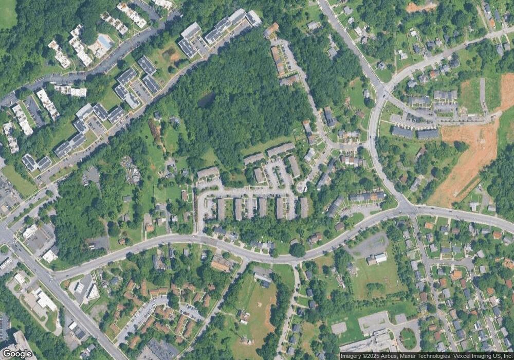
Map
Nearby Homes
- 5600 Walker Mill Rd
- 1702 Rollins Place
- 1510 Brooke Rd
- 5874 Holly Springs Dr N
- 5876 Holly Springs Dr N
- 5878 Holly Springs Dr N
- St Paul Plan at Holly Springs
- 5872 Holly Springs Dr N
- 5870 Holly Springs Dr N
- 5868 Holly Springs Dr N
- 5866 N Holly Springs Dr
- 5864 N Holly Springs Dr
- 5616 Marlboro Pike
- 5136 Cranmer Way
- 1528 Ruston Ave
- 2337 Barkley Place
- 1337 Upcot Ct
- 5625 Oakford Rd
- 1404 Pacific Ave
- 6021 Applegarth Place
- 1608 Brooksquare Dr Unit 76
- 1608 Brooksquare Dr
- 1606 Brooksquare Dr
- 1602 Brooksquare Dr
- 1604 Brooksquare Dr
- 1604 Brooksquare Dr Unit 79
- 1610 Brooksquare Dr
- 1630 Brooksquare Dr Unit 70
- 1636 Brooksquare Dr Unit 69
- 1624 Brooksquare Dr
- 1620 Brooksquare Dr
- 1630 Brooksquare Dr
- 1626 Brooksquare Dr
- 1636 Brooksquare Dr
- 1620 Brooksquare Dr Unit 75
- 1622 Brooksquare Dr
- 5602 Larson Ct
- 5602 Larson Ct Unit 26
- 5604 Larson Ct
- 5604 Larson Ct Unit 25