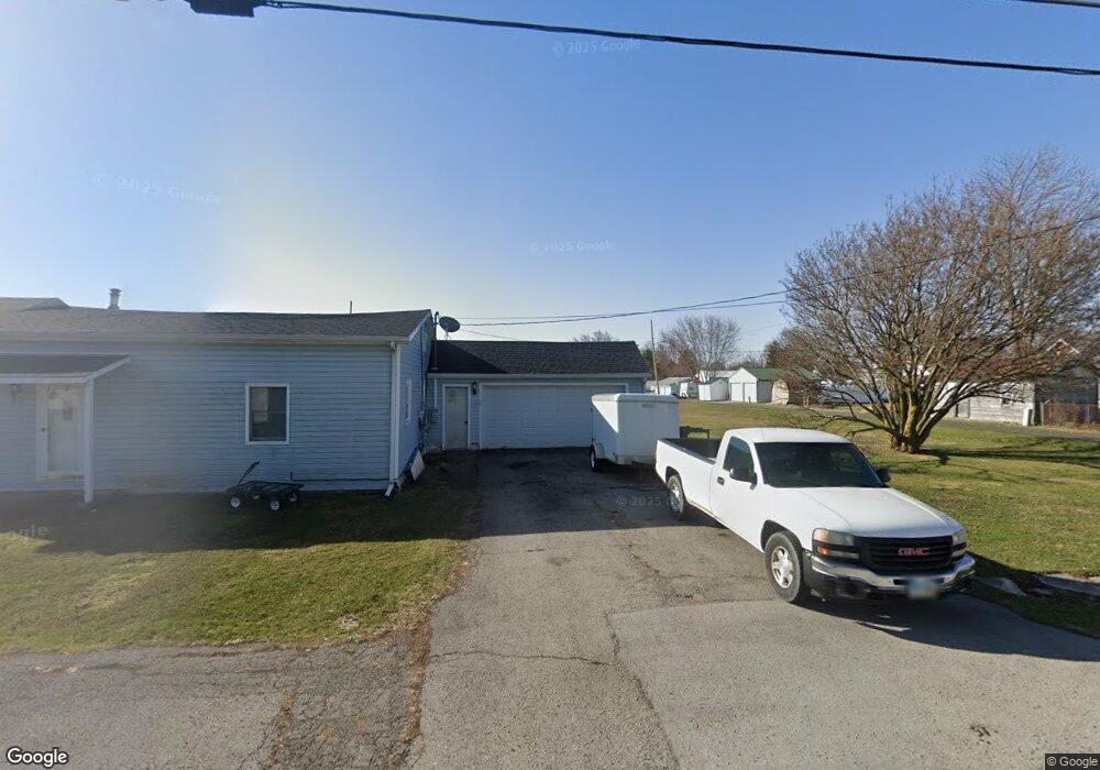
1600 C R 26 Mount Cory, OH 45868
Estimated Value: $308,000 - $692,000
4
Beds
2
Baths
2,900
Sq Ft
$175/Sq Ft
Est. Value
About This Home
This home is located at 1600 C R 26, Mount Cory, OH 45868 and is currently estimated at $507,306, approximately $174 per square foot. 1600 C R 26 is a home located in Hancock County with nearby schools including Cory-Rawson Elementary School and Cory-Rawson High School.
Ownership History
Date
Name
Owned For
Owner Type
Purchase Details
Closed on
May 26, 2023
Sold by
Strahm Linda Jo
Bought by
Heck Timothy E and Heck Amber L
Current Estimated Value
Home Financials for this Owner
Home Financials are based on the most recent Mortgage that was taken out on this home.
Original Mortgage
$427,500
Outstanding Balance
$415,613
Interest Rate
6.39%
Mortgage Type
New Conventional
Estimated Equity
$91,693
Purchase Details
Closed on
Dec 2, 2013
Sold by
Grone Dennis G and Grone Lisa M
Bought by
Strahm Terry L and Strahm Linda Jo
Home Financials for this Owner
Home Financials are based on the most recent Mortgage that was taken out on this home.
Original Mortgage
$314,000
Interest Rate
4.14%
Mortgage Type
New Conventional
Create a Home Valuation Report for This Property
The Home Valuation Report is an in-depth analysis detailing your home's value as well as a comparison with similar homes in the area
Home Values in the Area
Average Home Value in this Area
Purchase History
| Date | Buyer | Sale Price | Title Company |
|---|---|---|---|
| Heck Timothy E | -- | None Listed On Document | |
| Strahm Terry L | $392,500 | None Available |
Source: Public Records
Mortgage History
| Date | Status | Borrower | Loan Amount |
|---|---|---|---|
| Open | Heck Timothy E | $427,500 | |
| Previous Owner | Strahm Terry L | $314,000 |
Source: Public Records
Tax History Compared to Growth
Tax History
| Year | Tax Paid | Tax Assessment Tax Assessment Total Assessment is a certain percentage of the fair market value that is determined by local assessors to be the total taxable value of land and additions on the property. | Land | Improvement |
|---|---|---|---|---|
| 2024 | $3,962 | $125,020 | $9,040 | $115,980 |
| 2023 | $4,598 | $145,190 | $26,920 | $118,270 |
| 2022 | $4,620 | $145,190 | $26,920 | $118,270 |
| 2021 | $4,257 | $121,260 | $21,720 | $99,540 |
| 2020 | $4,266 | $121,260 | $21,720 | $99,540 |
| 2019 | $4,167 | $121,260 | $21,720 | $99,540 |
| 2018 | $4,023 | $121,710 | $22,170 | $99,540 |
| 2017 | $2,005 | $121,710 | $22,170 | $99,540 |
| 2016 | $4,003 | $121,710 | $22,170 | $99,540 |
| 2015 | $3,641 | $116,000 | $22,170 | $93,830 |
| 2014 | $2,692 | $82,170 | $14,000 | $68,170 |
| 2012 | $2,752 | $80,400 | $12,230 | $68,170 |
Source: Public Records
Map
Nearby Homes
- 307 Lincoln St
- 17297 Township Road 51
- 16134 Township Road 56
- 106 Riley St
- 110 Magnolia Ln
- 222 N Lawn Ave
- 210 N Jackson St
- 0 Ohio 103
- 212 S Lawn Ave
- 222 Grove St
- 217 Grove St
- 18101 County Road 12
- 0 Columbus Grove-Bluffton Rd
- 513 S Jackson St
- 305 Parkview Dr
- 303 Parkview Dr
- 301 Parkview Dr
- 307 Parkview Dr
- 313 Parkview Dr
- 315 Parkview Dr
- 1600 County Road 26
- 1710 County Road 26
- 1540 County Road 26
- 1730 County Road 26
- 1862 County Road 26
- 1297 County Road 26
- 1845 County Road 26
- 1900 County Road 26
- 1900 County Rd
- 15478 Township Road 51
- 2070 County Road 26
- 16374 Trail 51
- 15377 Township Road 51
- 2170 County Road 26
- 777 County Road 37
- 1846 Township Road 37
- 0 T R 37
- 2040 Township Road 37
- 2285 County Road 26
- 2151 Township Road 37