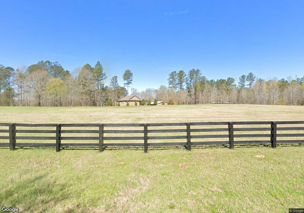
1600 Conger Rd Union Point, GA 30669
Estimated Value: $159,000 - $559,562
3
Beds
2
Baths
896
Sq Ft
$413/Sq Ft
Est. Value
About This Home
This home is located at 1600 Conger Rd, Union Point, GA 30669 and is currently estimated at $369,891, approximately $412 per square foot. 1600 Conger Rd is a home with nearby schools including Greene County High School.
Ownership History
Date
Name
Owned For
Owner Type
Purchase Details
Closed on
Nov 26, 2012
Sold by
Lester Margaret Gail
Bought by
Fishing Creek Farms Iii Llc
Current Estimated Value
Purchase Details
Closed on
Sep 11, 2012
Sold by
Lester Ronald H and Lester Gail B
Bought by
Lester Margaret Gail
Purchase Details
Closed on
May 26, 2000
Sold by
Escoe James E Etal
Bought by
Lester Ronald H and Lester Gail B
Purchase Details
Closed on
Sep 24, 1996
Sold by
Freshley Philip and Freshley Marilee
Bought by
Escoe James E Etal
Purchase Details
Closed on
Jul 12, 1993
Bought by
Freshley Philip and Freshley Marilee
Create a Home Valuation Report for This Property
The Home Valuation Report is an in-depth analysis detailing your home's value as well as a comparison with similar homes in the area
Home Values in the Area
Average Home Value in this Area
Purchase History
| Date | Buyer | Sale Price | Title Company |
|---|---|---|---|
| Fishing Creek Farms Iii Llc | $190,000 | -- | |
| Lester Margaret Gail | -- | -- | |
| Lester Ronald H | -- | -- | |
| Escoe James E Etal | $52,200 | -- | |
| Freshley Philip | $29,800 | -- |
Source: Public Records
Tax History Compared to Growth
Tax History
| Year | Tax Paid | Tax Assessment Tax Assessment Total Assessment is a certain percentage of the fair market value that is determined by local assessors to be the total taxable value of land and additions on the property. | Land | Improvement |
|---|---|---|---|---|
| 2025 | $2,001 | $177,160 | $68,520 | $108,640 |
| 2024 | $2,130 | $171,600 | $68,520 | $103,080 |
| 2023 | $2,004 | $154,960 | $55,080 | $99,880 |
| 2022 | $757 | $72,480 | $42,360 | $30,120 |
| 2021 | $807 | $72,480 | $42,360 | $30,120 |
| 2020 | $753 | $56,680 | $32,600 | $24,080 |
| 2019 | $769 | $56,680 | $32,600 | $24,080 |
| 2018 | $1,267 | $56,720 | $32,640 | $24,080 |
| 2017 | $1,189 | $56,799 | $32,662 | $24,137 |
| 2016 | $1,205 | $57,604 | $32,662 | $24,942 |
| 2015 | -- | $57,604 | $32,662 | $24,942 |
| 2014 | -- | $33,951 | $32,662 | $1,288 |
Source: Public Records
Map
Nearby Homes
- 1101 Boswell Rd
- 5011 Penfield Rd
- 204 Maple St
- 181 Lower Wirebridge Rd
- 0 Lower Wirebridge Rd
- 5971 Penfield Rd
- 3434 Union Point Rd
- 0 Cold Springs Rd Unit 25814506
- 0 Dogwood Rd
- 1180 Green Briar Dr
- 3021 Penfield Rd
- 1211 Peachtree Ave W
- 0 Woodville Rd Unit 7667944
- 0 Woodville Rd Unit 10628010
- 332 Oconee Forest Rd
- 334 Oconee Forest Rd
- 1115 Black Ike Rd
- 0 Arrowhead Rd Unit 10587232
- 1110 Woodland Way
- 1110 Woodland Ln