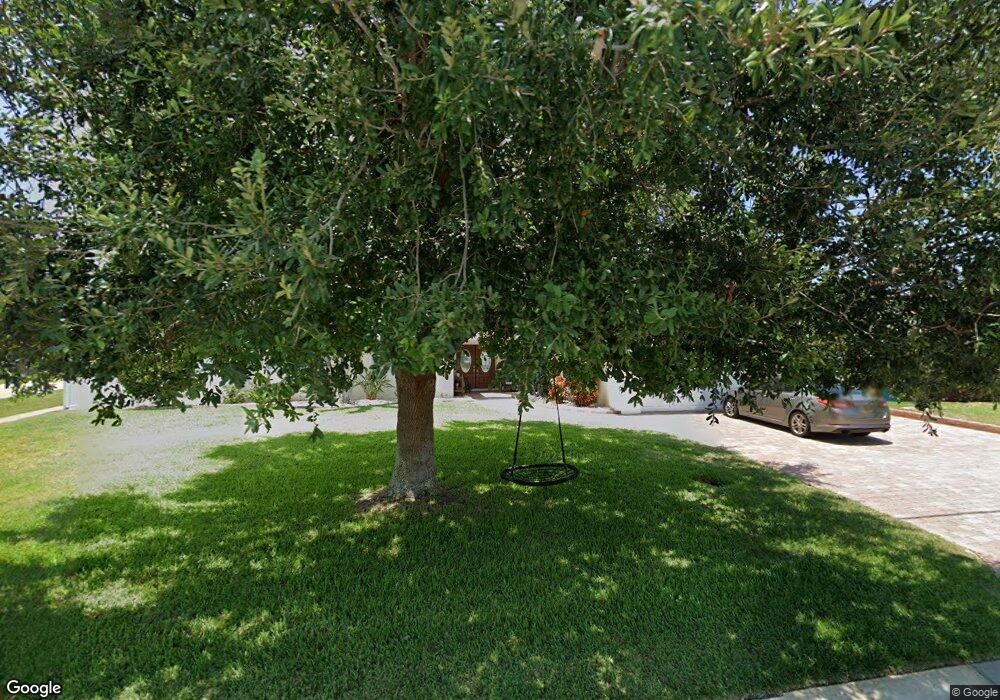
1600 Davis Dr Merritt Island, FL 32952
Estimated Value: $486,000 - $611,556
4
Beds
2
Baths
1,900
Sq Ft
$284/Sq Ft
Est. Value
About This Home
This home is located at 1600 Davis Dr, Merritt Island, FL 32952 and is currently estimated at $540,139, approximately $284 per square foot. 1600 Davis Dr is a home located in Brevard County with nearby schools including Audubon Elementary School, Thomas Jefferson Middle School, and Merritt Island High School.
Ownership History
Date
Name
Owned For
Owner Type
Purchase Details
Closed on
Dec 14, 2017
Sold by
Jc Property Venture Llc
Bought by
Salles Paulo Jorge
Current Estimated Value
Purchase Details
Closed on
Sep 1, 2009
Sold by
Case Vinnie S and Case Raymond K
Bought by
Shatto Michael S and Shatto Nicole M
Home Financials for this Owner
Home Financials are based on the most recent Mortgage that was taken out on this home.
Original Mortgage
$206,600
Interest Rate
5.15%
Purchase Details
Closed on
Jun 13, 1994
Sold by
Maynard Roger G and Maynard Luz
Bought by
Sandborn Richard T and Sandborn Gloria F
Create a Home Valuation Report for This Property
The Home Valuation Report is an in-depth analysis detailing your home's value as well as a comparison with similar homes in the area
Home Values in the Area
Average Home Value in this Area
Purchase History
| Date | Buyer | Sale Price | Title Company |
|---|---|---|---|
| Salles Paulo Jorge | -- | Supreme Title Closing Llc | |
| Shatto Michael S | $200,000 | Fidelity Natl Title Ins Co | |
| Sandborn Richard T | $123,500 | -- |
Source: Public Records
Mortgage History
| Date | Status | Borrower | Loan Amount |
|---|---|---|---|
| Previous Owner | Shatto Michael S | $206,600 |
Source: Public Records
Tax History Compared to Growth
Tax History
| Year | Tax Paid | Tax Assessment Tax Assessment Total Assessment is a certain percentage of the fair market value that is determined by local assessors to be the total taxable value of land and additions on the property. | Land | Improvement |
|---|---|---|---|---|
| 2025 | $4,873 | $399,700 | -- | -- |
| 2024 | $4,837 | $388,440 | -- | -- |
| 2023 | $4,837 | $377,130 | $0 | $0 |
| 2022 | $4,251 | $342,930 | $0 | $0 |
| 2021 | $4,465 | $332,950 | $0 | $0 |
| 2020 | $4,430 | $328,360 | $180,000 | $148,360 |
| 2019 | $4,711 | $304,920 | $150,000 | $154,920 |
| 2018 | $4,883 | $308,890 | $155,000 | $153,890 |
| 2017 | $4,839 | $293,880 | $150,000 | $143,880 |
| 2016 | $3,012 | $202,130 | $130,000 | $72,130 |
| 2015 | $2,288 | $156,220 | $130,000 | $26,220 |
| 2014 | $2,301 | $154,980 | $120,000 | $34,980 |
Source: Public Records
Map
Nearby Homes
- 1510 Holly Ave
- 1545 Cunningham Ave
- 1455 Hannah Dr
- 1625 Hortana Dr
- 1515 Quince Ave
- 1668 Oceana Dr
- 1675 Oceana Dr Unit 8
- 700 Milford Point Dr
- 1425 Lester Ct
- 635 Barrett Dr
- 1340 Lester Ct
- 1395 Floral Ln
- 1685 Savannah Dr
- 1585 Anchor Ln
- 535 Barrett Dr
- 2437 Yount Dr
- 3000 Yount Dr
- 1620 Yount Dr
- 1613 Dock St
- 325 Simpson Cir
- 1610 Davis Dr
- 1620 Davis Dr
- 1605 Davis Dr
- 1595 Yates Dr
- 690 Jacaranda St
- 1605 Yates Dr
- 680 Jacaranda St
- 1615 Davis Dr
- 700 Jacaranda St
- 1625 Yates Dr
- 670 Jacaranda St
- 1630 Davis Dr
- 1625 Davis Dr
- 710 Jacaranda St
- 1635 Yates Dr
- 660 Jacaranda St
- 720 Jacaranda St
- 1640 Davis Dr
- 1645 Yates Dr
- 1610 Yates Dr