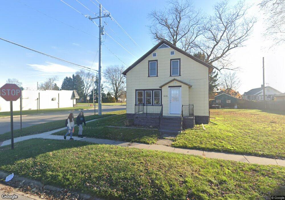
1600 McBrady St Port Huron, MI 48060
Estimated Value: $39,000 - $165,000
--
Bed
--
Bath
--
Sq Ft
4,225
Sq Ft Lot
About This Home
This home is located at 1600 McBrady St, Port Huron, MI 48060 and is currently estimated at $109,333. 1600 McBrady St is a home located in St. Clair County with nearby schools including H.D. Crull Elementary School, Holland Woods Middle School, and Port Huron Northern High School.
Ownership History
Date
Name
Owned For
Owner Type
Purchase Details
Closed on
Jul 16, 2015
Sold by
Vanloo Dennis H and Vanloo Van Loo
Bought by
Witzke Paul C and Witzke Susan
Current Estimated Value
Home Financials for this Owner
Home Financials are based on the most recent Mortgage that was taken out on this home.
Original Mortgage
$34,000
Interest Rate
4.02%
Mortgage Type
Future Advance Clause Open End Mortgage
Create a Home Valuation Report for This Property
The Home Valuation Report is an in-depth analysis detailing your home's value as well as a comparison with similar homes in the area
Home Values in the Area
Average Home Value in this Area
Purchase History
| Date | Buyer | Sale Price | Title Company |
|---|---|---|---|
| Witzke Paul C | $19,000 | Transnation Title |
Source: Public Records
Mortgage History
| Date | Status | Borrower | Loan Amount |
|---|---|---|---|
| Open | Witzke Paul C | $34,000 |
Source: Public Records
Tax History Compared to Growth
Tax History
| Year | Tax Paid | Tax Assessment Tax Assessment Total Assessment is a certain percentage of the fair market value that is determined by local assessors to be the total taxable value of land and additions on the property. | Land | Improvement |
|---|---|---|---|---|
| 2025 | $205 | $5,400 | $0 | $0 |
| 2024 | $205 | $4,800 | $0 | $0 |
| 2023 | $194 | $4,800 | $0 | $0 |
| 2022 | $207 | $4,300 | $0 | $0 |
| 2021 | $198 | $3,200 | $0 | $0 |
| 2020 | $202 | $3,200 | $3,200 | $0 |
| 2019 | $271 | $4,800 | $0 | $0 |
| 2018 | $303 | $4,800 | $0 | $0 |
| 2016 | $280 | $5,200 | $0 | $0 |
| 2015 | $52 | $3,600 | $3,600 | $0 |
| 2014 | $52 | $3,600 | $3,600 | $0 |
| 2013 | -- | $4,300 | $0 | $0 |
Source: Public Records
Map
Nearby Homes
- 1632 McBrady St
- 1527 Thomas St
- 1437 Mcpherson St
- 1523 11th Ave
- 1691 McBrady St
- 1802 Riverside Dr
- 1907 Riverside Dr
- 1503 Elk St
- 1303 10th Ave
- 1756 Edison Shores Place
- 2115 Willow St
- 1004 State St
- V/L #6 Water St
- V/L #3 Water St
- V/L #8 Water St
- V/L #4 Water St
- V/L #5 Water St
- 2400 Stone St Unit 2414
- 915 10th Ave
- 2311 Elmwood St
- 1600 McBrady St
- 1600 McBrady St
- 1600 McBrady St
- 1600 McBrady St
- 1602 McBrady St
- 1612 McBrady St
- 1603 Whipple St
- 1605 Whipple St
- 1620 McBrady St
- 1615 McBrady St
- 1613 Whipple St
- 1624 McBrady St
- 1617 Whipple St
- 1710 12th Ave Unit 1712
- 1710 12th Ave
- 1609 Whipple St
- 1607 McBrady St
- 1534 Mcpherson St
- 0 Henry St
- 1619 McBrady St