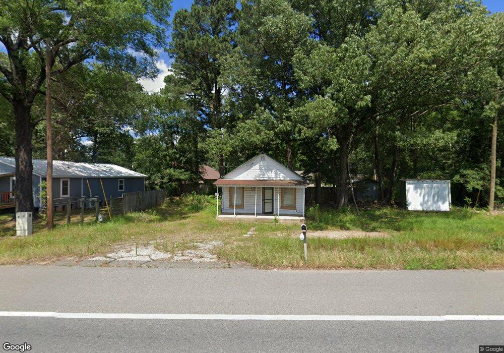
1600 N Constitution Ave Ashdown, AR 71822
Estimated Value: $42,989 - $126,000
Studio
1
Bath
740
Sq Ft
$114/Sq Ft
Est. Value
About This Home
This home is located at 1600 N Constitution Ave, Ashdown, AR 71822 and is currently estimated at $83,997, approximately $113 per square foot. 1600 N Constitution Ave is a home located in Little River County with nearby schools including L.F. Henderson Interm. School, Ashdown Elementary School, and Ashdown Junior High School.
Ownership History
Date
Name
Owned For
Owner Type
Purchase Details
Closed on
Apr 30, 2013
Bought by
Trotter Freddie
Current Estimated Value
Purchase Details
Closed on
Aug 2, 2001
Bought by
White Frank G and White Donna L
Purchase Details
Closed on
Aug 20, 1999
Bought by
White Frank and White Linda
Purchase Details
Closed on
Mar 8, 1999
Bought by
Regions Bank
Purchase Details
Closed on
Feb 17, 1998
Bought by
Anthamatten Karren
Purchase Details
Closed on
Dec 27, 1995
Bought by
White Frank and White Linda
Create a Home Valuation Report for This Property
The Home Valuation Report is an in-depth analysis detailing your home's value as well as a comparison with similar homes in the area
Home Values in the Area
Average Home Value in this Area
Purchase History
| Date | Buyer | Sale Price | Title Company |
|---|---|---|---|
| Trotter Freddie | $13,000 | -- | |
| White Frank G | -- | -- | |
| White Frank | -- | -- | |
| White Frank G | -- | -- | |
| White Frank | $10,000 | -- | |
| Regions Bank | -- | -- | |
| Anthamatten Karren | $40,000 | -- | |
| White Frank | $30,000 | -- |
Source: Public Records
Tax History
| Year | Tax Paid | Tax Assessment Tax Assessment Total Assessment is a certain percentage of the fair market value that is determined by local assessors to be the total taxable value of land and additions on the property. | Land | Improvement |
|---|---|---|---|---|
| 2025 | $149 | $3,640 | $790 | $2,850 |
| 2024 | -- | $3,640 | $790 | $2,850 |
| 2023 | $0 | $3,640 | $790 | $2,850 |
| 2022 | $0 | $3,640 | $790 | $2,850 |
| 2021 | $0 | $2,840 | $440 | $2,400 |
| 2020 | $0 | $2,840 | $440 | $2,400 |
| 2019 | $0 | $2,840 | $440 | $2,400 |
| 2018 | $0 | $2,840 | $440 | $2,400 |
| 2017 | $0 | $2,840 | $440 | $2,400 |
| 2016 | -- | $2,660 | $640 | $2,020 |
| 2015 | -- | $2,660 | $640 | $2,020 |
| 2014 | $107 | $2,660 | $640 | $2,020 |
Source: Public Records
Map
Nearby Homes
- 1608 N Constitution Ave
- 1505 Northwood St
- 1509 Northwood St
- 1515 Northwood St
- 213 Black Gum Cir
- 1652 N Constitution Ave
- 1521 Northwood St
- 1518 Northwood St
- 1724 N Constitution Ave
- 1527 Northwood St
- 1524 Northwood St
- 260 Black Gum Cir
- 1605 Northwood St
- 1530 Northwood St
- 320 Black Gum Cir
- 1609 Northwood St
- 1736 N Constitution Ave
- 280 Trammell Ln
- 281 Trammell Ln
- 1737 N Constitution Ave
Your Personal Tour Guide
Ask me questions while you tour the home.