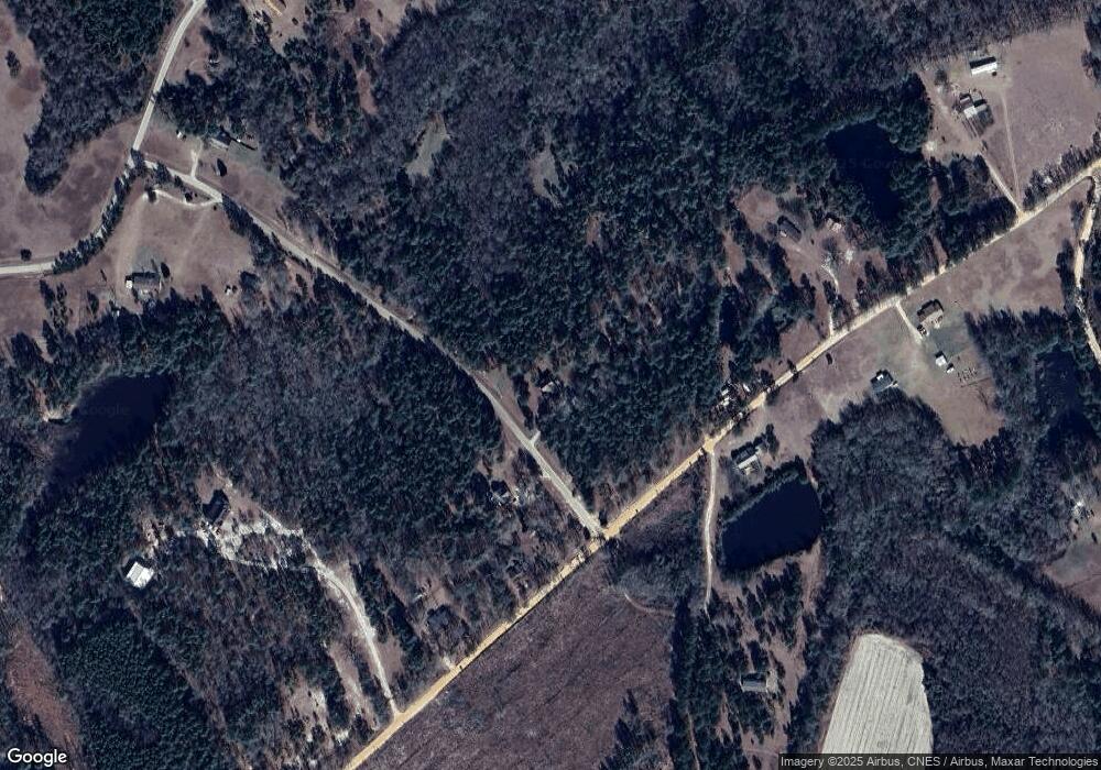
1600 Rock Point Rd Portal, GA 30450
Estimated Value: $295,000 - $355,000
3
Beds
2
Baths
1,764
Sq Ft
$183/Sq Ft
Est. Value
About This Home
This home is located at 1600 Rock Point Rd, Portal, GA 30450 and is currently estimated at $321,991, approximately $182 per square foot. 1600 Rock Point Rd is a home located in Bulloch County with nearby schools including Portal Elementary School and Portal Middle/High School.
Ownership History
Date
Name
Owned For
Owner Type
Purchase Details
Closed on
Jun 5, 2020
Sold by
Lamb Jessica Rountree
Bought by
Lamb Jonathan Alan
Current Estimated Value
Purchase Details
Closed on
Apr 14, 2011
Sold by
Lamb Jonathan Alan
Bought by
Lamb Jonathan Alan
Home Financials for this Owner
Home Financials are based on the most recent Mortgage that was taken out on this home.
Original Mortgage
$15,312
Interest Rate
4.74%
Mortgage Type
Purchase Money Mortgage
Purchase Details
Closed on
Jun 29, 2009
Sold by
Beal Lonnie G
Bought by
Rountree Jessica Marie
Purchase Details
Closed on
Nov 30, 2006
Sold by
Not Provided
Bought by
Rountree Lamb Jonathan Alan and Rountree Lamb Jessica
Home Financials for this Owner
Home Financials are based on the most recent Mortgage that was taken out on this home.
Original Mortgage
$153,688
Interest Rate
6.29%
Mortgage Type
FHA
Create a Home Valuation Report for This Property
The Home Valuation Report is an in-depth analysis detailing your home's value as well as a comparison with similar homes in the area
Home Values in the Area
Average Home Value in this Area
Purchase History
| Date | Buyer | Sale Price | Title Company |
|---|---|---|---|
| Lamb Jonathan Alan | -- | -- | |
| Lamb Jonathan Alan | -- | -- | |
| Rountree Jessica Marie | $168,000 | -- | |
| Rountree Jessica Marie | -- | -- | |
| Rountree Lamb Jonathan Alan | $156,100 | -- |
Source: Public Records
Mortgage History
| Date | Status | Borrower | Loan Amount |
|---|---|---|---|
| Previous Owner | Rountree Jessica Marie | $15,312 | |
| Previous Owner | Rountree Lamb Jonathan Alan | $153,688 |
Source: Public Records
Tax History Compared to Growth
Tax History
| Year | Tax Paid | Tax Assessment Tax Assessment Total Assessment is a certain percentage of the fair market value that is determined by local assessors to be the total taxable value of land and additions on the property. | Land | Improvement |
|---|---|---|---|---|
| 2024 | $2,222 | $99,728 | $26,320 | $73,408 |
| 2023 | $2,151 | $88,412 | $20,880 | $67,532 |
| 2022 | $1,624 | $75,221 | $17,404 | $57,817 |
| 2021 | $1,486 | $67,101 | $17,404 | $49,697 |
| 2020 | $1,516 | $66,715 | $19,010 | $47,705 |
| 2019 | $1,527 | $66,848 | $19,010 | $47,838 |
| 2018 | $1,422 | $62,913 | $15,838 | $47,075 |
| 2017 | $1,404 | $61,344 | $15,838 | $45,506 |
| 2016 | $1,321 | $56,120 | $15,838 | $40,282 |
| 2015 | $1,314 | $55,565 | $15,838 | $39,727 |
| 2014 | $1,211 | $55,565 | $15,838 | $39,727 |
Source: Public Records
Map
Nearby Homes
- 2039 Buttermilk Rd
- 5555 Carlton Ln
- 5418 Carlton Rd
- 2 Chop Rd
- 2001 Tru Fail Crossing Rd
- 1951 Tru Fail Crossing Rd
- 2001 Tru Fail Crossing Rd
- 525 Horsefly Rd
- 418 Oglesby Pond Ln
- 529 College Heights
- 218 Turpentine Dr
- 0 U S 80 Unit 10535643
- 28022 U S 80
- 0 Old Moore Rd
- 0 Two Chop Rd
- 126 Woods Ave S
- 132 Woods Ave S
- 130 Woods Ave S
- 296 Pleasant Hill Rd
- 124 Woods Ave
- 1601 Rock Point Rd
- 1995 Ponderosa Rd
- 1961 Ponderosa Rd
- 1994 Ponderosa Rd
- 2131 Ponderosa Rd
- 1907 Ponderosa Rd
- 1907 Ponderosa Rd
- 2238 Ponderosa Rd
- 1630 Rock Point Rd
- 1621 Rock Point Rd
- 1550 Orabelle Rd
- 1560 Orabelle Rd
- 2289 Ponderosa Rd
- 2012 Ponderosa Rd
- 1501 Orabelle Rd
- 4729 Banks Creek Church Rd
- 2398 Ponderosa Rd
- 1541 Orabelle Rd Unit 11
- 1541 Orabelle Rd
- 1500 Orabelle Rd
