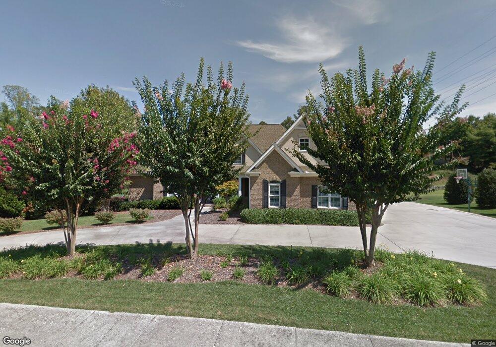
1600 Ryman Ridge Rd Dalton, GA 30720
Estimated Value: $701,000 - $1,100,000
6
Beds
5
Baths
5,409
Sq Ft
$168/Sq Ft
Est. Value
About This Home
This home is located at 1600 Ryman Ridge Rd, Dalton, GA 30720 and is currently estimated at $907,937, approximately $167 per square foot. 1600 Ryman Ridge Rd is a home located in Whitfield County with nearby schools including Brookwood Elementary School, Dalton Middle School, and Dalton High School.
Ownership History
Date
Name
Owned For
Owner Type
Purchase Details
Closed on
Jun 30, 2005
Sold by
Kinard Development Inc
Bought by
Franey Robert A and Franey Melanie
Current Estimated Value
Purchase Details
Closed on
Jan 1, 1995
Bought by
Ryman Farms Inc
Create a Home Valuation Report for This Property
The Home Valuation Report is an in-depth analysis detailing your home's value as well as a comparison with similar homes in the area
Home Values in the Area
Average Home Value in this Area
Purchase History
| Date | Buyer | Sale Price | Title Company |
|---|---|---|---|
| Franey Robert A | $60,000 | -- | |
| Kinard Development Inc | $60,000 | -- | |
| Ryman Milton J | $38,599 | -- | |
| Ryman Farms Inc | -- | -- |
Source: Public Records
Tax History Compared to Growth
Tax History
| Year | Tax Paid | Tax Assessment Tax Assessment Total Assessment is a certain percentage of the fair market value that is determined by local assessors to be the total taxable value of land and additions on the property. | Land | Improvement |
|---|---|---|---|---|
| 2024 | $11,493 | $346,563 | $31,200 | $315,363 |
| 2023 | $11,493 | $310,786 | $21,600 | $289,186 |
| 2022 | $10,080 | $292,666 | $34,400 | $258,266 |
| 2021 | $10,095 | $292,666 | $34,400 | $258,266 |
| 2020 | $10,486 | $292,666 | $34,400 | $258,266 |
| 2019 | $10,812 | $292,666 | $34,400 | $258,266 |
| 2018 | $10,975 | $292,666 | $34,400 | $258,266 |
| 2017 | $10,563 | $292,666 | $34,400 | $258,266 |
| 2016 | $9,448 | $260,096 | $25,200 | $234,896 |
| 2014 | $7,129 | $216,004 | $25,200 | $190,804 |
| 2013 | -- | $216,004 | $25,200 | $190,804 |
Source: Public Records
Map
Nearby Homes
- 1608 Ryman Ridge Rd
- 0 Horizon Ct Unit 130497
- 0 Horizon Ct Unit 130499
- 0 Horizon Ct Unit 130479
- 0 Horizon Ct Unit 130477
- 0 Horizon Ct Unit 130478
- 0 Horizon Ct Unit 130496
- 0 Horizon Ct Unit 130498
- 115& 134 Independence Way
- 1731 Ball Ave
- 1632 Rio Vista Dr
- 1504 Belmont Dr
- 1704 Southmont Dr
- 1709 Dug Gap Rd
- 1230 Valencia Dr
- 439 Florence Ave
- 408 Alex Dr
- 409 Florence Ave
- 1902 W Brookhaven Cir
- 3016 E Brookhaven Cir
- 1602 Ryman Ridge Rd
- 1547 Threadmill Rd
- 1603 Ryman Ridge Rd
- 1604 Ryman Ridge Rd
- 1281 Threadmill Rd
- 1203 Threadmill Rd
- 1703 Winter Green Ct
- 1605 Ryman Ridge Rd
- 1705 Winter Green Ct
- 1183 Threadmill Rd
- LOT 46 Winter Green Ct
- 1607 Ryman Ridge Rd
- 1124 Threadmill Rd
- 1339 Threadmill Rd
- 1704 Winter Green Ct
- 1120 Threadmill Rd
- 1137 Threadmill Rd
- 1702 Winter Green Ct
- 1609 Ryman Ridge Rd
- 1610 Ryman Ridge Rd