1600 Wildcat Dr Murphy, NC 28906
Estimated Value: $433,000 - $641,000
2
Beds
2
Baths
1,770
Sq Ft
$298/Sq Ft
Est. Value
About This Home
This home is located at 1600 Wildcat Dr, Murphy, NC 28906 and is currently estimated at $526,801, approximately $297 per square foot. 1600 Wildcat Dr is a home located in Cherokee County with nearby schools including Murphy Elementary School, Murphy Middle School, and Murphy High School.
Ownership History
Date
Name
Owned For
Owner Type
Purchase Details
Closed on
Jul 2, 2025
Sold by
Fleck Matthew J
Bought by
Wwkd Trust and Fleck
Current Estimated Value
Purchase Details
Closed on
Aug 6, 2021
Sold by
Kalarovich Philip A
Bought by
Fleck Matthew J and Fleck Karen A
Purchase Details
Closed on
May 3, 2006
Sold by
Kalarovich Phillips A
Bought by
Patricia C Barhart Rev Living Trust
Purchase Details
Closed on
Apr 1, 2004
Bought by
Kalarovich Philip A
Create a Home Valuation Report for This Property
The Home Valuation Report is an in-depth analysis detailing your home's value as well as a comparison with similar homes in the area
Home Values in the Area
Average Home Value in this Area
Purchase History
| Date | Buyer | Sale Price | Title Company |
|---|---|---|---|
| Wwkd Trust | -- | None Listed On Document | |
| Wwkd Trust | -- | None Listed On Document | |
| Fleck Matthew J | $469,000 | None Available | |
| Patricia C Barhart Rev Living Trust | $1,500 | -- | |
| Kalarovich Philip A | -- | -- |
Source: Public Records
Tax History
| Year | Tax Paid | Tax Assessment Tax Assessment Total Assessment is a certain percentage of the fair market value that is determined by local assessors to be the total taxable value of land and additions on the property. | Land | Improvement |
|---|---|---|---|---|
| 2025 | $1,767 | $261,240 | $0 | $0 |
| 2024 | $18 | $261,240 | $0 | $0 |
| 2023 | $1,757 | $261,240 | $0 | $0 |
| 2022 | $1,757 | $261,240 | $0 | $0 |
| 2021 | $1,185 | $207,870 | $40,000 | $167,870 |
| 2020 | $1,102 | $207,870 | $0 | $0 |
| 2019 | $1,001 | $165,950 | $0 | $0 |
| 2018 | $1,001 | $165,950 | $0 | $0 |
| 2017 | $1,022 | $169,690 | $0 | $0 |
| 2016 | $1,022 | $169,690 | $0 | $0 |
| 2015 | $1,022 | $169,690 | $33,600 | $136,090 |
| 2012 | -- | $169,690 | $33,600 | $136,090 |
Source: Public Records
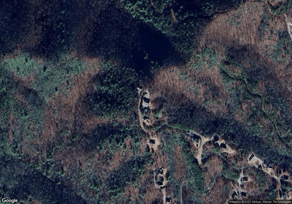
Map
Nearby Homes
- 293 Alto Vista Rd
- 293 Alto Vista Rd
- 39 Red Bud Ln
- 96 Holiday Dr
- Lot 12 Kaitlan Ln
- 0 Stonebrook Dr
- 0 Trillium Trail
- 000 Trillium Trail
- Lot 54 Somerset Ridge Dr
- Lot 10 Holly Hill Ridge
- 12-4 Cardinal Rd
- 16 Beal Cir
- Lot 40 Eagles Landing
- LT 35 Crested Eagle Ln
- 727 Hiwassee St
- 0 Skyview Acres Dr Unit 153407
- 0 Skyview Acres Dr Unit 417622
- Lot 14 Patriot Ridge
- 0 Patriot Ridge
- 155 Fort Butler St
- 1543 Wildcat Dr
- 1508 Wildcat Dr
- 1507 Wildcat Dr
- 1367 Wildcat Dr
- 1367 Wildcat Dr Unit 82
- 134 Longview Dr
- 1324 Wildcat Dr
- 96 Longview Dr
- 1244 Wildcat Dr
- 80 Longview Dr
- n/a Longview Dr
- 137 Longview Dr
- #137 Longview Dr
- 36 Longview Dr
- 33 Ellis Ln
- 62 Ellis Ln
- 62 Ellis Ln
- 127 Alto Vista Rd
- 00 Alto Vista Rd
- Lot 131 Alto Vista Rd
Your Personal Tour Guide
Ask me questions while you tour the home.