16005 Sheridan Rd Unit SHERIDAN Clinton, MI 49236
Estimated Value: $520,000 - $650,000
5
Beds
3
Baths
2,949
Sq Ft
$196/Sq Ft
Est. Value
About This Home
This home is located at 16005 Sheridan Rd Unit SHERIDAN, Clinton, MI 49236 and is currently estimated at $579,079, approximately $196 per square foot. 16005 Sheridan Rd Unit SHERIDAN is a home located in Washtenaw County with nearby schools including Clinton Elementary School, Clinton Middle School, and Clinton High School.
Ownership History
Date
Name
Owned For
Owner Type
Purchase Details
Closed on
Jun 14, 2013
Sold by
Wilson Timothy and Wilson Tammy L
Bought by
Mcnatt Sean R and Mcnatt Julie L
Current Estimated Value
Home Financials for this Owner
Home Financials are based on the most recent Mortgage that was taken out on this home.
Original Mortgage
$208,000
Outstanding Balance
$46,768
Interest Rate
3.52%
Mortgage Type
New Conventional
Estimated Equity
$532,311
Purchase Details
Closed on
Jul 30, 2004
Sold by
Damon Timothy P and Welch Damon Patricia J
Bought by
Wilson Timothy
Home Financials for this Owner
Home Financials are based on the most recent Mortgage that was taken out on this home.
Original Mortgage
$208,000
Interest Rate
6.34%
Mortgage Type
Purchase Money Mortgage
Create a Home Valuation Report for This Property
The Home Valuation Report is an in-depth analysis detailing your home's value as well as a comparison with similar homes in the area
Home Values in the Area
Average Home Value in this Area
Purchase History
| Date | Buyer | Sale Price | Title Company |
|---|---|---|---|
| Mcnatt Sean R | $240,000 | First American Title Insuran | |
| Wilson Timothy | $260,000 | Legacy Title Agency |
Source: Public Records
Mortgage History
| Date | Status | Borrower | Loan Amount |
|---|---|---|---|
| Open | Mcnatt Sean R | $208,000 | |
| Previous Owner | Wilson Timothy | $208,000 |
Source: Public Records
Tax History Compared to Growth
Tax History
| Year | Tax Paid | Tax Assessment Tax Assessment Total Assessment is a certain percentage of the fair market value that is determined by local assessors to be the total taxable value of land and additions on the property. | Land | Improvement |
|---|---|---|---|---|
| 2025 | $1,692 | $251,300 | $0 | $0 |
| 2024 | $1,644 | $217,500 | $0 | $0 |
| 2023 | $1,566 | $181,100 | $0 | $0 |
| 2022 | $4,298 | $181,500 | $0 | $0 |
| 2021 | $4,218 | $177,100 | $0 | $0 |
| 2020 | $4,156 | $175,900 | $0 | $0 |
| 2019 | $4,016 | $153,200 | $153,200 | $0 |
| 2018 | $3,964 | $146,500 | $0 | $0 |
| 2017 | $3,630 | $149,700 | $0 | $0 |
| 2016 | $1,349 | $126,666 | $0 | $0 |
| 2015 | -- | $126,288 | $0 | $0 |
| 2014 | -- | $116,800 | $0 | $0 |
| 2013 | -- | $116,800 | $0 | $0 |
Source: Public Records
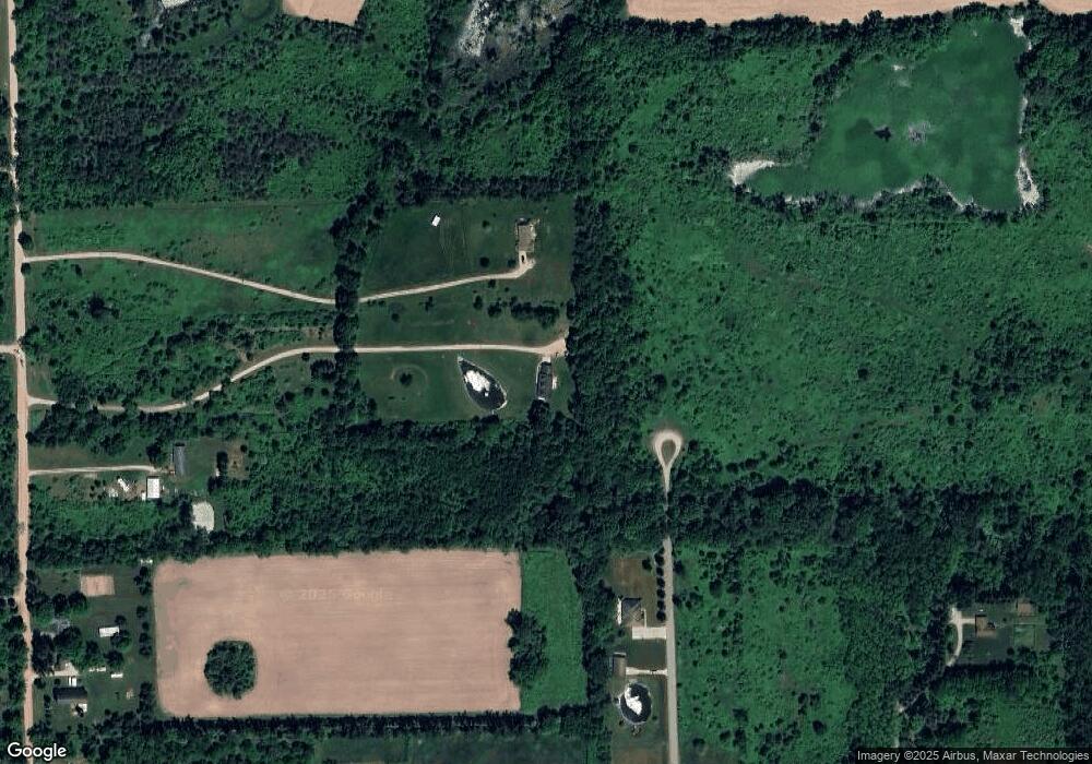
Map
Nearby Homes
- 13001 BLK Bartlett Rd
- 13002 Bartlett Rd
- 13828 Allen Rd
- 20664 Allen Rd
- 11800 N Adrian Hwy
- 118 Litchfield St
- 317 Clark St
- 111 Washington St
- 19740 Lemm Rd
- 103 W Michigan Ave
- 116 Currier St
- 201 Bartlett St
- 2962 U S 12
- 1549 Taylor Rd
- 3581 Kehoe Rd
- 0 Mcneil Hwy Unit Parcel C
- 10000 Mcneil Hwy
- 12164 Wisner Hwy
- V/L Post Oak Dr
- 9000 Matthews Hwy
- 16005 Sheridan Rd
- 15989 Sheridan Rd
- 16025 Sheridan Rd
- 0 Allen Rd Unit 3253672
- 0 Allen Rd Unit 4006864
- 0 Allen Rd Unit 4442287
- 0 Allen Rd Unit 4475769
- 0 Allen Rd Unit 4507163
- 0 Allen Rd Unit 91192
- 0 Allen Rd Unit 5409825
- 0 Allen Rd Unit 5577653
- 0 Allen Rd Unit 20087529
- 0 Allen Rd Unit 20101186
- 0 Allen Rd Unit 20351155
- 0 Allen Rd Unit 3238779
- 0 Allen Rd Unit 543253672
- 0 Allen Rd Unit 543238779
- 0 Allen Rd Unit 23034368
- 0 Allen Rd Unit 3253685
- 11013 Adams Dr