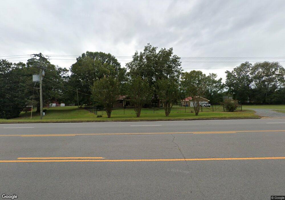
16005 Us Highway 231 Union Grove, AL 35175
Estimated Value: $220,000 - $452,000
Studio
1
Bath
1,888
Sq Ft
$166/Sq Ft
Est. Value
About This Home
This home is located at 16005 Us Highway 231, Union Grove, AL 35175 and is currently estimated at $313,998, approximately $166 per square foot. 16005 Us Highway 231 is a home located in Marshall County with nearby schools including Brindlee Mountain Elementary School, Brindlee Mountain Primary School, and Brindlee Mt. High School.
Ownership History
Date
Name
Owned For
Owner Type
Purchase Details
Closed on
Jan 19, 2024
Sold by
Leak Jack
Bought by
Leak Jeff
Current Estimated Value
Purchase Details
Closed on
Oct 6, 2023
Sold by
Ferguson Sarah and Leak Jack
Bought by
Barnett George M
Purchase Details
Closed on
Oct 15, 2015
Sold by
Jones Suan Black
Bought by
Ferguson Sarah Black
Purchase Details
Closed on
Jan 9, 2009
Sold by
Black Willsie and Ferguson Sarah Black
Bought by
Jones Susan Black and Ferguson Sarah Black
Create a Home Valuation Report for This Property
The Home Valuation Report is an in-depth analysis detailing your home's value as well as a comparison with similar homes in the area
Purchase History
| Date | Buyer | Sale Price | Title Company |
|---|---|---|---|
| Leak Jeff | -- | None Listed On Document | |
| Leak Jeff | -- | None Listed On Document | |
| Barnett George M | -- | None Listed On Document | |
| Barnett George M | -- | None Listed On Document | |
| Ferguson Sarah Black | -- | None Available | |
| Jones Susan Black | -- | Alabama Title Co Inc |
Source: Public Records
Tax History
| Year | Tax Paid | Tax Assessment Tax Assessment Total Assessment is a certain percentage of the fair market value that is determined by local assessors to be the total taxable value of land and additions on the property. | Land | Improvement |
|---|---|---|---|---|
| 2024 | $1,858 | $48,500 | $0 | $0 |
| 2023 | $1,743 | $46,480 | $0 | $0 |
| 2022 | $1,697 | $45,240 | $0 | $0 |
| 2021 | $500 | $21,140 | $0 | $0 |
| 2020 | $428 | $18,820 | $0 | $0 |
| 2017 | $524 | $17,760 | $0 | $0 |
| 2015 | -- | $15,820 | $0 | $0 |
| 2014 | -- | $14,820 | $0 | $0 |
Source: Public Records
Map
Nearby Homes
- 141 Old Silo Rd
- 588 Mount Olive Church Rd
- 41 Kid Creek Dr
- 185 Pine Hill Cir
- 14298 Highway 231
- 188 Prince Cir
- 254 Prince Cir
- 462 Brooks Rd
- 35 ACRES Pine Ridge Rd
- 85 Midway Rd
- 1 Bettinger Mountain Rd
- Lot 106 & 107 Creekwood Dr
- LOT 114 Creekwood Dr
- Lot 140 Emerald Point
- LOT 136 Evergreen Way
- 44 Oak Ridge Place
- 128 Savannah Cir
- Lot 105 Creekwood Dr
- 145 Lynns Dam Rd
- 54 Oak Ridge Place
- 4477 Highway 231
- 15919 Us Highway 231
- 15919 U S 231
- 711 Bramlett Rd
- 54 Bramlett Rd
- 20 Bramlett Rd
- 12162 Union Grove Rd
- 747 Bramlett Rd
- 227 Substation Rd
- 4460 Highway 231
- 4460 U S 231
- 281 Rockvale Rd
- 403 Rockvale Rd
- 15858 Us Highway 231
- 169 Bramlett Rd
- 245 Rockvale Rd
- 221 Substation Rd
- 77 Bramlett Rd
- 4434 U S 231
- 497 Rockvale Rd
Your Personal Tour Guide
Ask me questions while you tour the home.