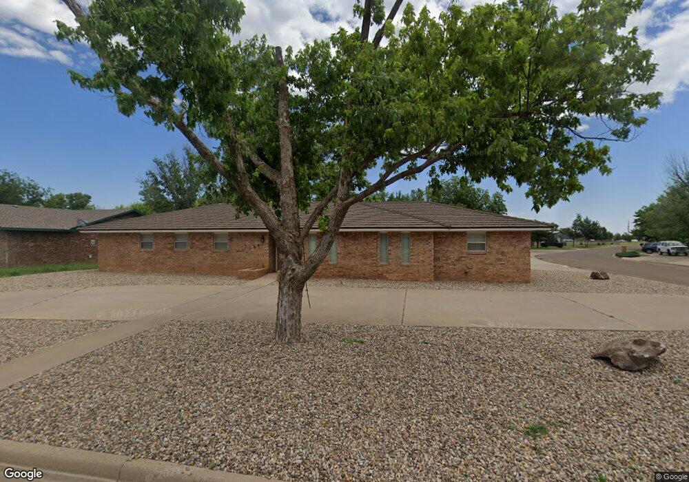
1601 Avondale Blvd Clovis, NM 88101
Estimated Value: $241,000 - $301,000
Studio
--
Bath
--
Sq Ft
12,153
Sq Ft Lot
About This Home
This home is located at 1601 Avondale Blvd, Clovis, NM 88101 and is currently estimated at $262,560. 1601 Avondale Blvd is a home with nearby schools including Zia Elementary School, Yucca Middle School, and Clovis High School.
Ownership History
Date
Name
Owned For
Owner Type
Purchase Details
Closed on
Jul 14, 2022
Sold by
Norris Robert and Norris Barbara Trustpt
Bought by
Wood Philip
Current Estimated Value
Home Financials for this Owner
Home Financials are based on the most recent Mortgage that was taken out on this home.
Original Mortgage
$205,000
Outstanding Balance
$195,021
Interest Rate
5.41%
Mortgage Type
Construction
Estimated Equity
$67,539
Create a Home Valuation Report for This Property
The Home Valuation Report is an in-depth analysis detailing your home's value as well as a comparison with similar homes in the area
Purchase History
| Date | Buyer | Sale Price | Title Company |
|---|---|---|---|
| Wood Philip | $256,250 | Landmark Title |
Source: Public Records
Mortgage History
| Date | Status | Borrower | Loan Amount |
|---|---|---|---|
| Open | Wood Philip | $205,000 |
Source: Public Records
Tax History
| Year | Tax Paid | Tax Assessment Tax Assessment Total Assessment is a certain percentage of the fair market value that is determined by local assessors to be the total taxable value of land and additions on the property. | Land | Improvement |
|---|---|---|---|---|
| 2025 | $1,900 | $75,187 | $6,816 | $68,371 |
| 2024 | $1,900 | $72,998 | $6,618 | $66,380 |
| 2023 | $1,829 | $70,873 | $6,426 | $64,447 |
| 2022 | $1,734 | $68,809 | $6,239 | $62,570 |
| 2021 | $1,573 | $66,806 | $6,058 | $60,748 |
| 2020 | $1,537 | $64,861 | $5,882 | $58,979 |
| 2019 | $1,510 | $63,891 | $5,711 | $58,180 |
| 2018 | $1,476 | $62,845 | $5,545 | $57,300 |
| 2017 | $1,513 | $61,016 | $5,384 | $55,632 |
| 2016 | $1,513 | $65,708 | $5,228 | $60,480 |
| 2015 | $1,457 | $63,795 | $5,076 | $58,719 |
| 2014 | $1,429 | $63,003 | $4,929 | $58,074 |
Source: Public Records
Map
Nearby Homes
- 2109 Jadyn Ln
- 1805 E 21st St
- 2016 Wilshire Blvd
- 1440 Fairmont Ct
- 610 New Mexico 523
- 1425 Eastridge Dr
- 1429 Piedmont Dr
- 2112 Enloe Dr
- 2217 Enloe Dr
- 1501 E 21st St
- 2021 Enloe Dr
- 1408 Claremont Terrace
- 2101 &2105 Bobwhite Ct
- 1405 Stratford Ln
- 508 Rosewood Dr
- 1316 Ash St
- 1100 N Walnut St
- 1313 Hickory St
- 1908 Weeden Dr
- 1325 Piedmont Dr
- 1609 Avondale Blvd
- 1700 Cain Ave
- 1704 Cain Ave
- 1520 Avondale Blvd
- 1617 Avondale Blvd
- 2009 P R Lyons Ave
- 1600 Avondale Blvd
- 1708 Cain Ave
- 1512 Avondale Blvd
- 1701 Cain Ave
- 1621 Avondale Blvd
- 1513 Avondale Blvd
- 2013 P R Lyons Ave
- 1705 Cain Ave
- 1608 Avondale Blvd
- 1712 Cain Ave
- 1509 Wilshire Blvd
- 1709 Cain Ave
- 1508 Avondale Blvd
- 305 Alamo
Your Personal Tour Guide
Ask me questions while you tour the home.