1601 Bronxdale Ave Bronx, NY 10462
Van Nest NeighborhoodEstimated Value: $111,553,152
--
Bed
--
Bath
313,871
Sq Ft
$355/Sq Ft
Est. Value
About This Home
This home is located at 1601 Bronxdale Ave, Bronx, NY 10462 and is currently estimated at $111,553,152, approximately $355 per square foot. 1601 Bronxdale Ave is a home located in Bronx County with nearby schools including P.S. 083 The Donald Hertz School, Icahn Charter School 2, and Bronx Excellence 2.
Ownership History
Date
Name
Owned For
Owner Type
Purchase Details
Closed on
May 1, 2019
Sold by
1601 Bronxdale Llc
Bought by
1601 Bronxdale Property Owner Llc
Current Estimated Value
Purchase Details
Closed on
Nov 17, 2017
Sold by
Pilot Realty Co and % Sackman Enterprises Inc
Bought by
1601 Bronxdale Llc
Home Financials for this Owner
Home Financials are based on the most recent Mortgage that was taken out on this home.
Original Mortgage
$8,600,174
Interest Rate
3.91%
Mortgage Type
Purchase Money Mortgage
Create a Home Valuation Report for This Property
The Home Valuation Report is an in-depth analysis detailing your home's value as well as a comparison with similar homes in the area
Home Values in the Area
Average Home Value in this Area
Purchase History
| Date | Buyer | Sale Price | Title Company |
|---|---|---|---|
| 1601 Bronxdale Property Owner Llc | $89,000,000 | -- | |
| 1601 Bronxdale Llc | -- | -- |
Source: Public Records
Mortgage History
| Date | Status | Borrower | Loan Amount |
|---|---|---|---|
| Previous Owner | 1601 Bronxdale Llc | $8,600,174 |
Source: Public Records
Tax History Compared to Growth
Tax History
| Year | Tax Paid | Tax Assessment Tax Assessment Total Assessment is a certain percentage of the fair market value that is determined by local assessors to be the total taxable value of land and additions on the property. | Land | Improvement |
|---|---|---|---|---|
| 2025 | $1,233,878 | $11,887,740 | $1,083,600 | $10,804,140 |
| 2024 | $1,233,878 | $11,798,877 | $1,083,600 | $10,715,277 |
| 2023 | $1,229,342 | $11,608,650 | $1,083,600 | $10,525,050 |
| 2022 | $1,281,269 | $12,055,500 | $1,083,600 | $10,971,900 |
| 2021 | $1,191,092 | $11,321,550 | $1,083,600 | $10,237,950 |
| 2020 | $1,172,914 | $12,811,950 | $1,083,600 | $11,728,350 |
| 2019 | $1,100,851 | $12,500,100 | $1,083,600 | $11,416,500 |
| 2018 | $1,035,956 | $10,925,100 | $1,083,600 | $9,841,500 |
| 2017 | $1,004,181 | $10,753,650 | $1,083,600 | $9,670,050 |
| 2016 | $970,884 | $9,890,100 | $1,083,600 | $8,806,500 |
| 2015 | $327,984 | $9,812,700 | $1,083,600 | $8,729,100 |
| 2014 | $327,984 | $10,100,700 | $1,083,600 | $9,017,100 |
Source: Public Records
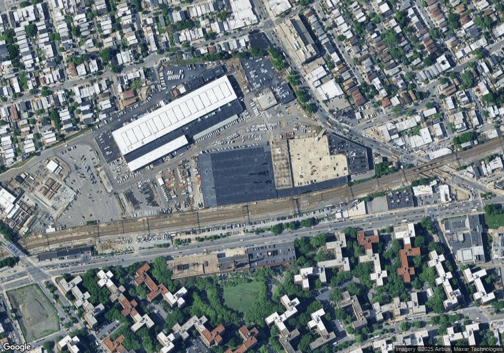
Map
Nearby Homes
- 2120 E Tremont Ave Unit 4F
- 874 van Nest Ave
- 856 van Nest Ave
- 2200 E Tremont Ave Unit 5A
- 2160 E Tremont Ave Unit 5F
- 1601 Metropolitan Ave Unit 3H
- 1595 Metropolitan Ave Unit 7D
- 867 van Nest Ave
- 1569 Bogart Ave
- 1563 Metropolitan Ave Unit ME
- 1651 Metropolitan Ave Unit 3E
- 1938 E Tremont Ave Unit 5C
- 845 Kinsella St
- 1936 E Tremont Ave Unit 5H
- 1501 Metropolitan Ave Unit 6C
- 11 Metropolitan Oval Unit 6E
- 11 Metropolitan Oval Unit 1A
- 11 Metropolitan Oval Unit 5F
- 1560 Metropolitan Ave Unit ME
- 868 Morris Park Ave
- 21 Starlington Ave
- 1595 Metropolitan Av NE 1595 Metropolitan Ave Ave SE Unit 1F
- lydig E 741 Unit 741
- lydig E 741
- 2399 Zerega Ave
- 2015-2115 E Tremont Ave
- 2175 E Tremont Ave
- 2205 E Tremont Ave
- 2213 E Tremont Ave
- 1602 Bronxdale Ave
- 2040 E Tremont Ave
- 1616-1620 Bronxdale Ave
- 907 Pierce Ave
- 2130 E Tremont Ave Unit 6
- 2130 E Tremont Ave Unit ME
- 2130 E Tremont Ave Unit MD
- 2130 E Tremont Ave Unit MA
- 2130 E Tremont Ave Unit TC
- 2130 E Tremont Ave Unit 7H
- 2130 E Tremont Ave Unit 7G