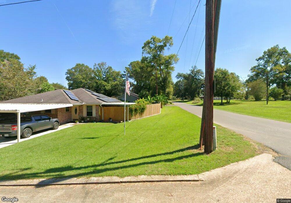
1601 Byron Dr Deridder, LA 70634
Estimated Value: $149,324 - $163,000
Studio
--
Bath
--
Sq Ft
43,560
Sq Ft Lot
About This Home
This home is located at 1601 Byron Dr, Deridder, LA 70634 and is currently estimated at $158,581. 1601 Byron Dr is a home.
Ownership History
Date
Name
Owned For
Owner Type
Purchase Details
Closed on
Feb 28, 2018
Sold by
Stanley Shane William and Stanley Shawna Mae
Bought by
Rodriguez Dylan J
Current Estimated Value
Home Financials for this Owner
Home Financials are based on the most recent Mortgage that was taken out on this home.
Original Mortgage
$114,880
Outstanding Balance
$97,189
Interest Rate
4.22%
Mortgage Type
FHA
Estimated Equity
$61,392
Purchase Details
Closed on
Oct 4, 2010
Sold by
Duckson Phillips Ii Ronald Neal and Duckson Phillips Jacqueline Elaine
Bought by
Hammett Stanley Shane William and Hammett Stanley Shawna Mae
Home Financials for this Owner
Home Financials are based on the most recent Mortgage that was taken out on this home.
Original Mortgage
$108,465
Interest Rate
4.39%
Mortgage Type
VA
Purchase Details
Closed on
Jul 31, 2008
Sold by
Stone Timothy Dean and Stone Kelly Josephine Coil
Bought by
Phillips Ronald Neal and Duckson Phillips Jacqueline Elaine
Create a Home Valuation Report for This Property
The Home Valuation Report is an in-depth analysis detailing your home's value as well as a comparison with similar homes in the area
Purchase History
| Date | Buyer | Sale Price | Title Company |
|---|---|---|---|
| Rodriguez Dylan J | $117,000 | None Available | |
| Hammett Stanley Shane William | $105,000 | -- | |
| Phillips Ronald Neal | $92,000 | -- |
Source: Public Records
Mortgage History
| Date | Status | Borrower | Loan Amount |
|---|---|---|---|
| Open | Rodriguez Dylan J | $114,880 | |
| Previous Owner | Hammett Stanley Shane William | $108,465 |
Source: Public Records
Tax History
| Year | Tax Paid | Tax Assessment Tax Assessment Total Assessment is a certain percentage of the fair market value that is determined by local assessors to be the total taxable value of land and additions on the property. | Land | Improvement |
|---|---|---|---|---|
| 2025 | $1,297 | $10,900 | $660 | $10,240 |
| 2024 | $1,335 | $10,900 | $660 | $10,240 |
| 2023 | $1,151 | $10,100 | $600 | $9,500 |
| 2022 | $1,274 | $10,100 | $600 | $9,500 |
| 2021 | $1,316 | $10,100 | $600 | $9,500 |
| 2020 | $1,324 | $10,100 | $600 | $9,500 |
| 2019 | $1,338 | $10,100 | $600 | $9,500 |
| 2018 | $1,325 | $10,100 | $600 | $9,500 |
| 2017 | $1,325 | $10,100 | $600 | $9,500 |
| 2015 | $1,362 | $10,290 | $790 | $9,500 |
| 2014 | $1,277 | $10,290 | $790 | $9,500 |
| 2013 | $1,346 | $10,290 | $790 | $9,500 |
Source: Public Records
Map
Nearby Homes
- 7197 Evans St
- 1931 Charlotte St
- 6628 Bailey Rd
- 6616 Bailey Rd
- 0 Lake Charles Hwy Unit SWL24003728
- 0 Lake Charles Hwy Unit 48-56
- 119 Barbara Dr
- 6093 Fagan Cir
- 6106 Fagan Cir
- 205 Barbara Dr
- 1778 Byron
- 7 Woodland Pkwy
- 245 Ambler Rd
- 192 Sharon Dr
- 192 Sharon Dr Unit (Rosepine)
- 8983 Main St
- 178
- 243 Cornwell Rd
- 2721 Liliedahl Rd
- 748 Lockhart Cutoff Rd
Your Personal Tour Guide
Ask me questions while you tour the home.