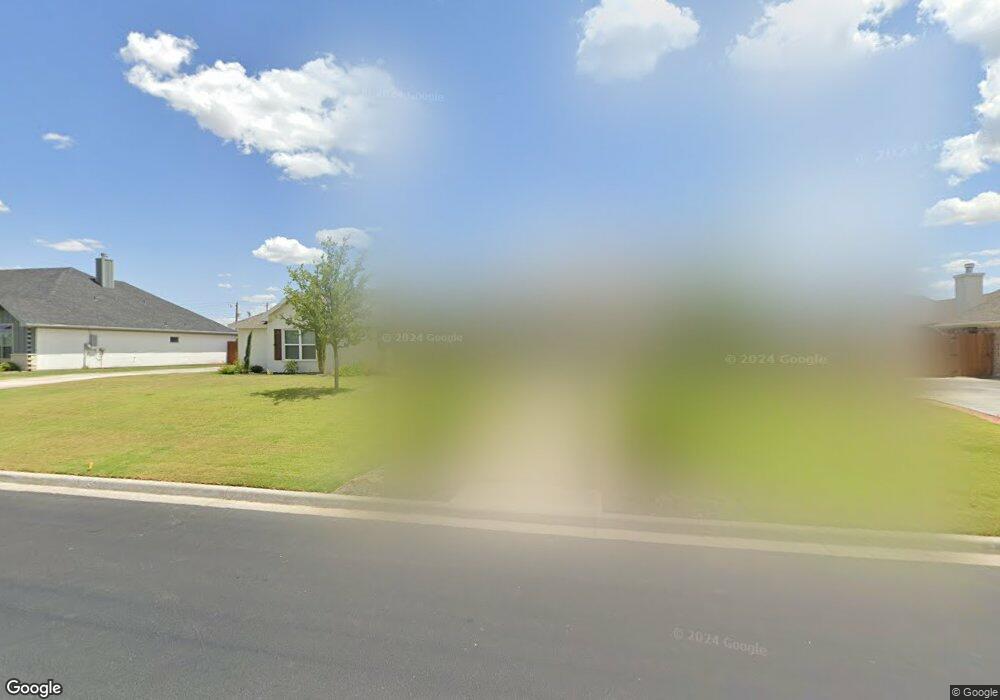
1601 Crystal Point Dr San Angelo, TX 76904
Bentwood Country Club Estates NeighborhoodEstimated Value: $504,000 - $601,000
--
Bed
--
Bath
2,267
Sq Ft
$236/Sq Ft
Est. Value
About This Home
This home is located at 1601 Crystal Point Dr, San Angelo, TX 76904 and is currently estimated at $535,368, approximately $236 per square foot. 1601 Crystal Point Dr is a home with nearby schools including Lamar Elementary School, Glenn Middle School, and Central High School.
Ownership History
Date
Name
Owned For
Owner Type
Purchase Details
Closed on
Dec 1, 2020
Sold by
Currie Chad P and Currie Jessica L
Bought by
Burke Ray L and Burke Donna
Current Estimated Value
Home Financials for this Owner
Home Financials are based on the most recent Mortgage that was taken out on this home.
Original Mortgage
$194,000
Outstanding Balance
$172,632
Interest Rate
2.8%
Mortgage Type
New Conventional
Estimated Equity
$362,736
Purchase Details
Closed on
Apr 12, 2018
Sold by
Gdec Investments Llc
Bought by
Daga Properties Inc and Cornerstone Builders
Home Financials for this Owner
Home Financials are based on the most recent Mortgage that was taken out on this home.
Original Mortgage
$312,800
Interest Rate
4.43%
Mortgage Type
Small Business Administration
Create a Home Valuation Report for This Property
The Home Valuation Report is an in-depth analysis detailing your home's value as well as a comparison with similar homes in the area
Home Values in the Area
Average Home Value in this Area
Purchase History
| Date | Buyer | Sale Price | Title Company |
|---|---|---|---|
| Burke Ray L | -- | Stroman Title | |
| Daga Properties Inc | -- | Guaranty Abstract & Title Co |
Source: Public Records
Mortgage History
| Date | Status | Borrower | Loan Amount |
|---|---|---|---|
| Open | Burke Ray L | $194,000 | |
| Previous Owner | Daga Properties Inc | $312,800 |
Source: Public Records
Tax History Compared to Growth
Tax History
| Year | Tax Paid | Tax Assessment Tax Assessment Total Assessment is a certain percentage of the fair market value that is determined by local assessors to be the total taxable value of land and additions on the property. | Land | Improvement |
|---|---|---|---|---|
| 2025 | $6,438 | $541,010 | $91,430 | $449,580 |
| 2024 | $6,286 | $534,150 | $83,110 | $451,040 |
| 2023 | $6,114 | $555,310 | $99,620 | $455,690 |
| 2022 | $9,171 | $446,850 | $67,180 | $379,670 |
| 2021 | $9,122 | $376,260 | $0 | $0 |
| 2020 | $8,067 | $328,290 | $30,230 | $298,060 |
| 2019 | $8,309 | $328,290 | $30,230 | $298,060 |
| 2018 | $762 | $30,230 | $30,230 | $0 |
| 2017 | $758 | $30,230 | $30,230 | $0 |
Source: Public Records
Map
Nearby Homes
- 4745 Karsten Creek Dr
- 4705 Wolf Creek Dr Unit 14
- 5018 Wolf Creek Dr Unit 3
- 5410 Lake Trail Ct
- 4710 Shadow Creek Dr
- 4809 N Bentwood Dr
- 5313 Enclave Ct
- 5029 Wolf Creek Dr Unit 59
- 5030 Wolf Creek Dr Unit 6
- 5034 Wolf Creek Dr Unit 7
- 5109 Beverly Dr
- 5214 N Bentwood Dr
- 1833 Castle Pines Dr
- 5202 Beverly Dr
- 1906 Colonial Dr
- 2118 Valleyview Dr
- 4517 Old Stone Dr Unit 2
- 1942 Pine Valley St
- 4998 Silver Creek Pass
- 4518 Old Stone Dr Unit 2
- 1605 Crystal Point Dr
- 1509 Crystal Point Dr
- 4757 Shadow Creek Dr
- 4750 Shadow Creek Dr
- 4753 Shadow Creek Dr
- 1505 Crystal Point Dr
- 4746 Shadow Creek Dr
- 4749 Karsten Creek Dr
- 4758 Royal Troon Dr
- 4749 Shadow Creek Dr
- 1409 Crystal Point Dr
- 4742 Shadow Creek Dr
- 4754 Royal Troon Dr
- 4745 Shadow Creek Dr
- 4742 Karsten Creek Dr
- 4746 Karsten Creek Dr
- 4741 Karsten Creek Dr
- 4750 Royal Troon Dr
- 4757 Royal Troon Dr
- 4738 Shadow Creek Dr