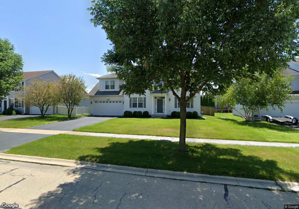
1601 Manhattan St Unit 1 Bolingbrook, IL 60490
Freedom Park NeighborhoodEstimated Value: $505,728 - $578,000
Studio
1
Bath
3,145
Sq Ft
$175/Sq Ft
Est. Value
About This Home
This home is located at 1601 Manhattan St Unit 1, Bolingbrook, IL 60490 and is currently estimated at $550,182, approximately $174 per square foot. 1601 Manhattan St Unit 1 is a home located in Will County with nearby schools including Liberty Elementary School, John F Kennedy Middle School, and Plainfield East High School.
Ownership History
Date
Name
Owned For
Owner Type
Purchase Details
Closed on
Jul 15, 2003
Sold by
Pinnacle Corp
Bought by
Paez Jose Victor and Paez Ma Cristina
Current Estimated Value
Home Financials for this Owner
Home Financials are based on the most recent Mortgage that was taken out on this home.
Original Mortgage
$235,163
Outstanding Balance
$100,356
Interest Rate
5.31%
Mortgage Type
Purchase Money Mortgage
Estimated Equity
$449,826
Create a Home Valuation Report for This Property
The Home Valuation Report is an in-depth analysis detailing your home's value as well as a comparison with similar homes in the area
Home Values in the Area
Average Home Value in this Area
Purchase History
| Date | Buyer | Sale Price | Title Company |
|---|---|---|---|
| Paez Jose Victor | $294,000 | Chicago Title Insurance Co |
Source: Public Records
Mortgage History
| Date | Status | Borrower | Loan Amount |
|---|---|---|---|
| Open | Paez Jose Victor | $235,163 | |
| Closed | Paez Jose Victor | $44,093 |
Source: Public Records
Tax History
| Year | Tax Paid | Tax Assessment Tax Assessment Total Assessment is a certain percentage of the fair market value that is determined by local assessors to be the total taxable value of land and additions on the property. | Land | Improvement |
|---|---|---|---|---|
| 2024 | $12,875 | $155,451 | $38,822 | $116,629 |
| 2023 | $12,875 | $139,870 | $34,931 | $104,939 |
| 2022 | $11,610 | $126,100 | $31,492 | $94,608 |
| 2021 | $11,041 | $117,906 | $29,446 | $88,460 |
| 2020 | $10,820 | $114,029 | $28,478 | $85,551 |
| 2019 | $10,565 | $108,599 | $27,122 | $81,477 |
| 2018 | $10,645 | $108,279 | $27,042 | $81,237 |
| 2017 | $10,488 | $102,634 | $25,632 | $77,002 |
| 2016 | $10,373 | $97,700 | $24,400 | $73,300 |
| 2015 | $8,863 | $93,700 | $23,400 | $70,300 |
| 2014 | $8,863 | $91,800 | $22,900 | $68,900 |
| 2013 | $8,863 | $79,800 | $19,900 | $59,900 |
Source: Public Records
Map
Nearby Homes
- 725 Delacourte Ave
- 749 Lenox Ave
- 803 Lenox Ave
- 1582 Arlington St
- 1568 Woodland Ln
- 1445 Somerfield Dr
- 402 Marshall Ash St Unit 3
- 566 Pinebrook Dr
- 402 S Palmer Dr Unit 2B
- 1963 Norwich Ln
- 7 Pampas Ct
- 1472 Misty Ln Unit 2B
- 1887 Snead St
- 329 Chick Evans St
- 310 Chick Evans St
- 452 Pheasant Chase Dr
- 504 Pheasant Chase Dr
- 305 Chick Evans St
- 1404 Lily Cache Ln
- 2267 Ryegrass Ln
- 1597 Manhattan St
- 1605 Manhattan St
- 721 Delacourte Ave Unit 1
- 722 Belvedere Blvd
- 726 Belvedere Blvd
- 1602 Manhattan St
- 1598 Manhattan St Unit 1
- 1606 Manhattan St
- 1591 Manhattan St Unit 1
- 1594 Manhattan St
- 729 Delacourte Ave
- 730 Belvedere Blvd Unit 1
- 1611 Manhattan St
- 722 Delacourte Ave
- 721 Belvedere Blvd Unit 1
- 1590 Manhattan St
- 1614 Manhattan St Unit 1
- 725 Belvedere Blvd Unit 1
- 1587 Manhattan St Unit 1
- 726 Delacourte Ave
Your Personal Tour Guide
Ask me questions while you tour the home.