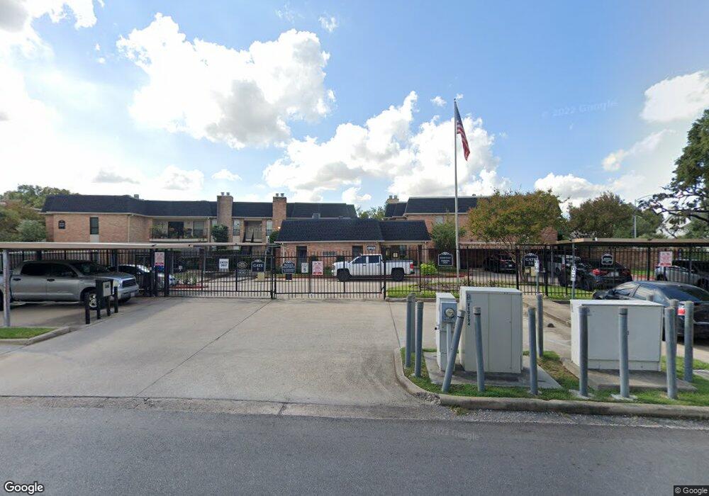
1601 S Shepherd Dr Unit 2 Houston, TX 77019
Montrose NeighborhoodEstimated Value: $222,000 - $251,000
1
Bed
2
Baths
847
Sq Ft
$281/Sq Ft
Est. Value
About This Home
This home is located at 1601 S Shepherd Dr Unit 2, Houston, TX 77019 and is currently estimated at $237,848, approximately $280 per square foot. 1601 S Shepherd Dr Unit 2 is a home located in Harris County with nearby schools including Baker Montessori, Lanier Middle School, and Lamar High School.
Ownership History
Date
Name
Owned For
Owner Type
Purchase Details
Closed on
Jun 28, 2017
Sold by
Wiltse Adriane
Bought by
Linquist David Michael
Current Estimated Value
Home Financials for this Owner
Home Financials are based on the most recent Mortgage that was taken out on this home.
Original Mortgage
$144,800
Outstanding Balance
$121,080
Interest Rate
3.95%
Mortgage Type
New Conventional
Estimated Equity
$121,908
Purchase Details
Closed on
Jun 19, 2015
Sold by
Kelly Jane C and Kelly Jane S
Bought by
Lindquist David and Wiltse Adriane
Home Financials for this Owner
Home Financials are based on the most recent Mortgage that was taken out on this home.
Original Mortgage
$144,800
Interest Rate
3.9%
Mortgage Type
New Conventional
Create a Home Valuation Report for This Property
The Home Valuation Report is an in-depth analysis detailing your home's value as well as a comparison with similar homes in the area
Home Values in the Area
Average Home Value in this Area
Purchase History
| Date | Buyer | Sale Price | Title Company |
|---|---|---|---|
| Linquist David Michael | -- | None Available | |
| Lindquist David | -- | Chicago Title |
Source: Public Records
Mortgage History
| Date | Status | Borrower | Loan Amount |
|---|---|---|---|
| Open | Linquist David Michael | $144,800 | |
| Previous Owner | Lindquist David | $144,800 |
Source: Public Records
Tax History Compared to Growth
Tax History
| Year | Tax Paid | Tax Assessment Tax Assessment Total Assessment is a certain percentage of the fair market value that is determined by local assessors to be the total taxable value of land and additions on the property. | Land | Improvement |
|---|---|---|---|---|
| 2024 | $2,473 | $199,247 | $37,857 | $161,390 |
| 2023 | $2,473 | $208,851 | $39,682 | $169,169 |
| 2022 | $4,089 | $185,705 | $35,284 | $150,421 |
| 2021 | $4,226 | $181,331 | $34,453 | $146,878 |
| 2020 | $4,885 | $201,732 | $38,329 | $163,403 |
| 2019 | $5,105 | $201,732 | $38,329 | $163,403 |
| 2018 | $4,876 | $192,686 | $36,610 | $156,076 |
| 2017 | $5,113 | $192,686 | $36,610 | $156,076 |
| 2016 | $4,912 | $185,105 | $35,170 | $149,935 |
| 2015 | $4,055 | $185,105 | $35,170 | $149,935 |
| 2014 | $4,055 | $157,749 | $29,972 | $127,777 |
Source: Public Records
Map
Nearby Homes
- 1601 S Shepherd Dr Unit 138
- 1601 S Shepherd Dr Unit 29
- 1601 S Shepherd Dr Unit 222
- 1601 S Shepherd Dr Unit 213
- 1601 S Shepherd Dr Unit 220
- 1601 S Shepherd Dr Unit 20
- 2105 Del Monte Dr
- 1509 Mcduffie St
- 1606 Hazard St
- 2019 Haddon St
- 1201 Mcduffie St Unit 198
- 1201 Mcduffie St Unit 130
- 1201 Mcduffie St Unit 122
- 1201 Mcduffie St Unit 169
- 2094 Brentwood Dr
- 2131 Brentwood Dr
- 1910 Huldy St Unit A
- 1909 Brun St Unit 17
- 1914 Mcduffie St Unit 8
- 2100 Welch St Unit C113
- 1601 S Shepherd Dr Unit 44
- 1601 S Shepherd Dr Unit 41
- 1601 S Shepherd Dr Unit 140
- 1601 S Shepherd Dr Unit 2
- 1601 S Shepherd Dr Unit 2
- 1601 S Shepherd Dr
- 1601 S Shepherd Dr Unit 2
- 1601 S Shepherd Dr
- 1601 S Shepherd Dr Unit 2
- 1601 S Shepherd Dr Unit 2
- 1601 S Shepherd Dr Unit 2
- 1601 S Shepherd Dr
- 1601 S Shepherd Dr Unit 2
- 1601 S Shepherd Dr Unit 2
- 1601 S Shepherd Dr
- 1601 S Shepherd Dr
- 1601 S Shepherd Dr
- 1601 S Shepherd Dr
- 1601 S Shepherd Dr
- 1601 S Shepherd Dr