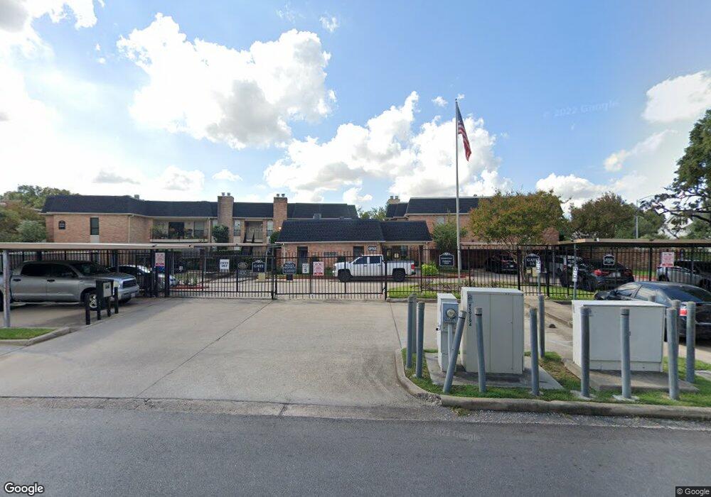
1601 S Shepherd Dr Unit 2 Houston, TX 77019
Montrose NeighborhoodEstimated Value: $187,000 - $224,000
1
Bed
1
Bath
798
Sq Ft
$262/Sq Ft
Est. Value
About This Home
This home is located at 1601 S Shepherd Dr Unit 2, Houston, TX 77019 and is currently estimated at $209,355, approximately $262 per square foot. 1601 S Shepherd Dr Unit 2 is a home located in Harris County with nearby schools including Baker Montessori, Lanier Middle School, and Lamar High School.
Ownership History
Date
Name
Owned For
Owner Type
Purchase Details
Closed on
Jul 19, 2024
Sold by
Yordan Maria Cristina and Oshea Stephen
Bought by
Brehm Alison and Brehm Steven
Current Estimated Value
Purchase Details
Closed on
Aug 11, 2015
Sold by
Guy Velma Enid
Bought by
Suttles Alexis Kyle
Home Financials for this Owner
Home Financials are based on the most recent Mortgage that was taken out on this home.
Original Mortgage
$122,500
Interest Rate
4.12%
Mortgage Type
New Conventional
Create a Home Valuation Report for This Property
The Home Valuation Report is an in-depth analysis detailing your home's value as well as a comparison with similar homes in the area
Home Values in the Area
Average Home Value in this Area
Purchase History
| Date | Buyer | Sale Price | Title Company |
|---|---|---|---|
| Brehm Alison | -- | Old Republic National Title In | |
| Suttles Alexis Kyle | -- | None Available |
Source: Public Records
Mortgage History
| Date | Status | Borrower | Loan Amount |
|---|---|---|---|
| Previous Owner | Suttles Alexis Kyle | $122,500 |
Source: Public Records
Tax History
| Year | Tax Paid | Tax Assessment Tax Assessment Total Assessment is a certain percentage of the fair market value that is determined by local assessors to be the total taxable value of land and additions on the property. | Land | Improvement |
|---|---|---|---|---|
| 2025 | $2,319 | $220,000 | $41,800 | $178,200 |
| 2024 | $2,319 | $190,067 | $36,113 | $153,954 |
| 2023 | $2,319 | $199,227 | $37,853 | $161,374 |
| 2022 | $3,890 | $176,673 | $33,568 | $143,105 |
| 2021 | $4,016 | $172,313 | $32,739 | $139,574 |
| 2020 | $4,499 | $185,775 | $36,376 | $149,399 |
| 2019 | $4,701 | $185,775 | $36,376 | $149,399 |
| 2018 | $4,622 | $182,650 | $34,704 | $147,946 |
| 2017 | $4,847 | $182,650 | $34,704 | $147,946 |
| 2016 | $4,656 | $175,461 | $33,338 | $142,123 |
| 2015 | $302 | $175,461 | $33,338 | $142,123 |
| 2014 | $302 | $149,338 | $28,374 | $120,964 |
Source: Public Records
Map
Nearby Homes
- 1601 S Shepherd Dr Unit 269
- 1601 S Shepherd Dr Unit 20
- 1601 S Shepherd Dr Unit 224
- 1601 S Shepherd Dr Unit 170
- 1601 S Shepherd Dr Unit 216
- 1601 S Shepherd Dr Unit 138
- 2105 Del Monte Dr
- 1606 Hazard St
- 1712 Mcduffie St
- 1616 Hazard St
- 2121 Inwood Dr
- 1201 Mcduffie St Unit 122
- 1201 Mcduffie St Unit 207
- 1201 Mcduffie St Unit 103
- 1810 Hazard St Unit A
- 1953 Haddon St
- 2100 Welch St Unit C113
- 2217 Pelham Dr
- 1606 Woodhead St
- 1025 S Shepherd Dr Unit 110
- 1601 S Shepherd Dr Unit 44
- 1601 S Shepherd Dr Unit 41
- 1601 S Shepherd Dr Unit 140
- 1601 S Shepherd Dr Unit 2
- 1601 S Shepherd Dr Unit 2
- 1601 S Shepherd Dr
- 1601 S Shepherd Dr Unit 2
- 1601 S Shepherd Dr
- 1601 S Shepherd Dr Unit 2
- 1601 S Shepherd Dr Unit 2
- 1601 S Shepherd Dr Unit 2
- 1601 S Shepherd Dr Unit 2
- 1601 S Shepherd Dr
- 1601 S Shepherd Dr Unit 2
- 1601 S Shepherd Dr
- 1601 S Shepherd Dr
- 1601 S Shepherd Dr
- 1601 S Shepherd Dr
- 1601 S Shepherd Dr
- 1601 S Shepherd Dr
Your Personal Tour Guide
Ask me questions while you tour the home.