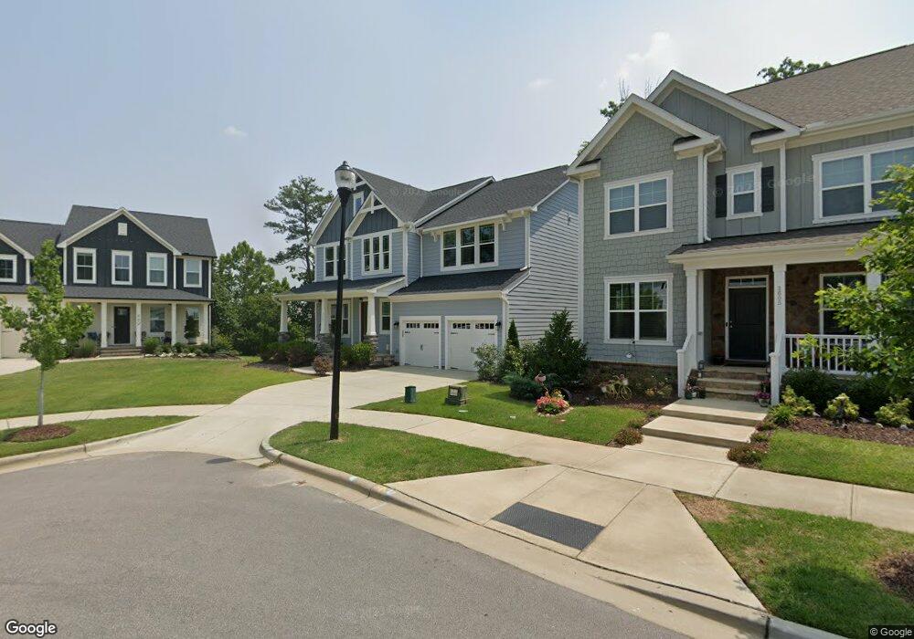
1601 Silo Point Dr Wake Forest, NC 27587
Estimated Value: $671,033 - $742,000
5
Beds
5
Baths
3,265
Sq Ft
$219/Sq Ft
Est. Value
About This Home
This home is located at 1601 Silo Point Dr, Wake Forest, NC 27587 and is currently estimated at $716,008, approximately $219 per square foot. 1601 Silo Point Dr is a home located in Wake County with nearby schools including Wake Forest Elementary School, Wake Forest-Rolesville Middle School, and Wake Forest High School.
Ownership History
Date
Name
Owned For
Owner Type
Purchase Details
Closed on
Nov 17, 2022
Sold by
Mehm Brian F
Bought by
Mehm Brian F and Mehm Deborah M
Current Estimated Value
Purchase Details
Closed on
Jan 6, 2020
Sold by
The Drees Company
Bought by
Mehm Brian F
Home Financials for this Owner
Home Financials are based on the most recent Mortgage that was taken out on this home.
Original Mortgage
$454,279
Interest Rate
3.6%
Mortgage Type
New Conventional
Purchase Details
Closed on
Dec 11, 2018
Sold by
Wsr Hv Llc
Bought by
The Drees Company and The Drees Homes Company
Create a Home Valuation Report for This Property
The Home Valuation Report is an in-depth analysis detailing your home's value as well as a comparison with similar homes in the area
Home Values in the Area
Average Home Value in this Area
Purchase History
| Date | Buyer | Sale Price | Title Company |
|---|---|---|---|
| Mehm Brian F | -- | -- | |
| Mehm Brian F | $505,000 | None Available | |
| The Drees Company | $670,000 | None Available |
Source: Public Records
Mortgage History
| Date | Status | Borrower | Loan Amount |
|---|---|---|---|
| Previous Owner | Mehm Brian F | $454,279 |
Source: Public Records
Tax History
| Year | Tax Paid | Tax Assessment Tax Assessment Total Assessment is a certain percentage of the fair market value that is determined by local assessors to be the total taxable value of land and additions on the property. | Land | Improvement |
|---|---|---|---|---|
| 2025 | $6,323 | $659,690 | $150,000 | $509,690 |
| 2024 | $6,299 | $659,690 | $150,000 | $509,690 |
Source: Public Records
Map
Nearby Homes
- 825 Abbyberry Dr
- 1512 Highpoint St
- 1420 Holding Village Way
- 726 Silo Park Dr
- 1218 S Franklin St
- 1208 S Franklin St
- 1701 Highpoint St
- 1708 Highpoint St
- 218 Forestville Rd
- 515 Forestville Rd
- 519 Forestville Rd
- 531 Forestville Rd
- 541 Forestville Rd
- 512 Basin Hill Dr
- 561 Forestville Rd
- 549 Forestville Rd
- 553 Forestville Rd
- 557 Forestville Rd
- 500 Friendship Chapel Rd
- 577 Forestville Rd
- 1605 Silo Point Dr Unit 216
- 449 Bridgeton Ave
- 1609 Silo Point Dr Unit 215
- 1609 Silo Point Dr
- 445 Bridgeton Ave
- 448 Bridgeton Ave
- 1613 Silo Point Dr Unit 214
- 444 Bridgeton Ave Unit HVGT Lot 211
- 444 Bridgeton Ave
- 440 Bridgeton Ave
- 1617 Silo Point Dr Unit 213
- 424 Windsboro Way Unit 201
- 1529 Holding Village Way
- 1521 Holding Village Way
- 436 Bridgeton Ave Unit HVGT Lot 209
- 420 Windsboro Way
- 416 Windsboro Way
- 509 Lake Holding St
- 432 Bridgeton Ave Unit HVGT Lot 208
- 412 Windsboro Way
Your Personal Tour Guide
Ask me questions while you tour the home.