1601 SW Parrish Ln Powell Butte, OR 97753
Estimated Value: $2,560,043
3
Beds
3
Baths
3,256
Sq Ft
$786/Sq Ft
Est. Value
About This Home
This home is located at 1601 SW Parrish Ln, Powell Butte, OR 97753 and is currently estimated at $2,560,043, approximately $786 per square foot. 1601 SW Parrish Ln is a home located in Crook County with nearby schools including Crooked River Elementary School, Crook County Middle School, and Crook County High School.
Ownership History
Date
Name
Owned For
Owner Type
Purchase Details
Closed on
Dec 20, 2023
Sold by
Treihaft Michael T and Treihaft Linda Lee
Bought by
Michael Ted & Linda Lee Treihaft Revocable Tr and Treihaft
Current Estimated Value
Purchase Details
Closed on
Oct 4, 2023
Sold by
Treihaft Linda Lee
Bought by
Michael Ted & Linda Lee Treihaft Revocable Tr and Treihaft
Create a Home Valuation Report for This Property
The Home Valuation Report is an in-depth analysis detailing your home's value as well as a comparison with similar homes in the area
Home Values in the Area
Average Home Value in this Area
Purchase History
| Date | Buyer | Sale Price | Title Company |
|---|---|---|---|
| Michael Ted & Linda Lee Treihaft Revocable Tr | -- | None Listed On Document | |
| Michael Ted & Linda Lee Treihaft Revocable Tr | -- | None Listed On Document |
Source: Public Records
Tax History Compared to Growth
Tax History
| Year | Tax Paid | Tax Assessment Tax Assessment Total Assessment is a certain percentage of the fair market value that is determined by local assessors to be the total taxable value of land and additions on the property. | Land | Improvement |
|---|---|---|---|---|
| 2024 | $7,228 | $591,820 | -- | -- |
| 2023 | $6,979 | $574,590 | $0 | $0 |
| 2022 | $6,761 | $557,860 | $0 | $0 |
| 2021 | $6,761 | $541,620 | $0 | $0 |
| 2020 | $6,574 | $525,854 | $0 | $0 |
| 2019 | $6,341 | $495,668 | $0 | $0 |
| 2018 | $6,182 | $495,668 | $0 | $0 |
| 2017 | $6,088 | $481,231 | $0 | $0 |
| 2016 | $5,533 | $432,108 | $0 | $0 |
| 2015 | $5,292 | $432,108 | $0 | $0 |
| 2013 | -- | $407,303 | $0 | $0 |
Source: Public Records
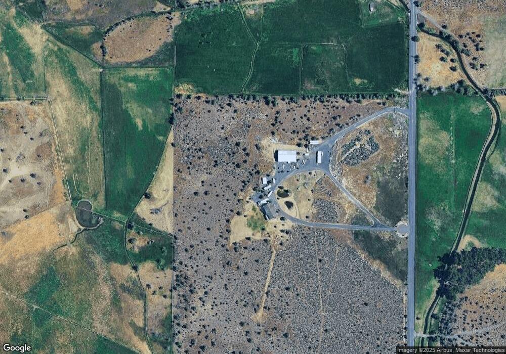
Map
Nearby Homes
- 1164 SW Parrish Ln
- 11311 SW Fleming Rd
- 2441 SW Minson Rd
- 10934 SW Fleming Rd
- 0 NW Mcdaniel Rd
- 4088 SW Minson Rd
- 12855 SW Ayres Ln
- 12512 SW Cornett Loop
- 444 NW Pinecrest Dr
- 7305 SW Highway 126
- 5785 NW Cedar Place
- 3068 SW Reif Rd
- 0 NW Pinecrest Dr Unit 6 220208726
- 0 NW Pinecrest Dr Unit 10 220208724
- 0 NW Pinecrest Dr Unit 8 220208723
- 0 NW Pinecrest Dr Unit 4 220208722
- 0 NW Pinecrest Dr Unit 7 220208721
- 0 NW Pinecrest Dr Unit 9 220208720
- 0 NW Pinecrest Dr Unit 3 220208717
- 0 NW Pinecrest Dr Unit 5 220208715
- 1063 SW Parrish Ln
- 0 Parcel 2 of Pp 2004-40 Parrish Ln
- 805 SW Parrish Ln
- 1887 SW Parrish Ln
- 723 SW Parrish Ln
- 10410 SW Houston Lake Rd
- 0 Parrish Ln Unit 201100712
- 10400 SW Houston Lake Rd
- 677 SW Parrish Ln
- 10030 SW Houston Lake Rd
- 10262 SW Houston Lake Rd
- 402 SW Parrish Ln
- 9715 SW Houston Lake Rd
- 10223 SW Houston Lake Rd
- 9010 SW Houston Lake Rd
- 10251 SW Houston Lake Rd
- 150 NW Meyers Butte Rd
- 10208 SW Cornett Loop
- 9311 SW Houston Lake Rd