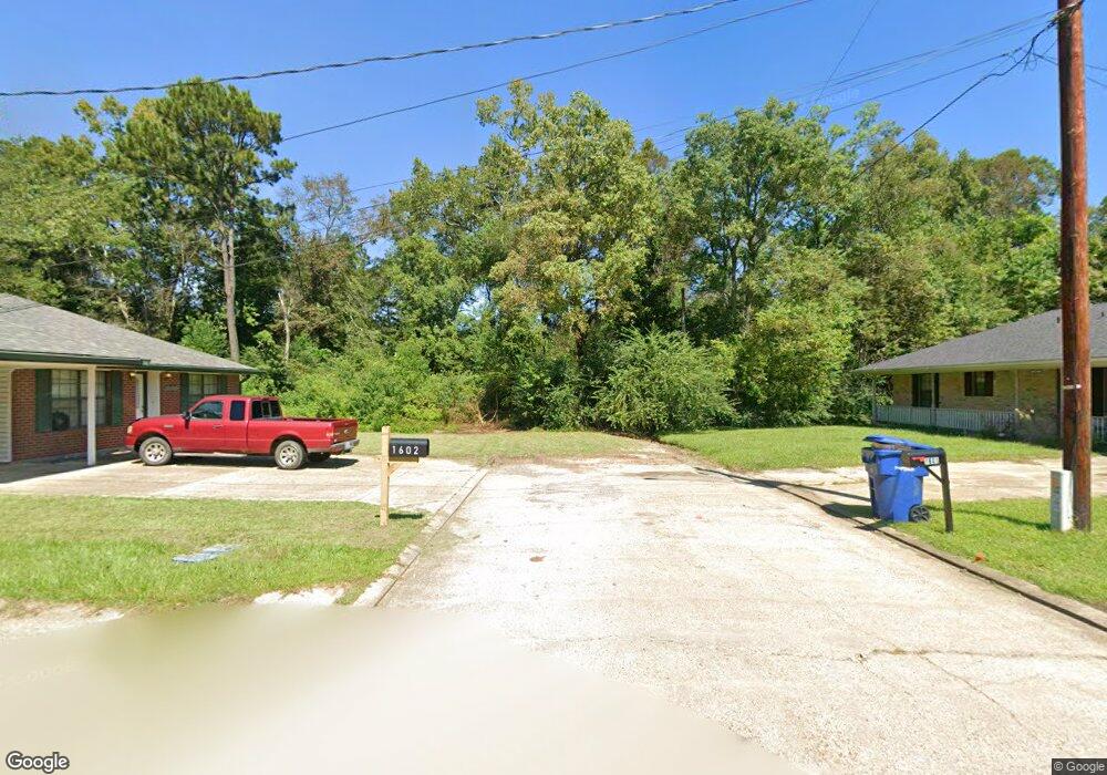
1602 Byron Dr Deridder, LA 70634
Estimated Value: $165,203 - $194,000
Studio
--
Bath
--
Sq Ft
43,560
Sq Ft Lot
About This Home
This home is located at 1602 Byron Dr, Deridder, LA 70634 and is currently estimated at $181,068. 1602 Byron Dr is a home.
Ownership History
Date
Name
Owned For
Owner Type
Purchase Details
Closed on
Dec 18, 2023
Sold by
Barr Stephen Michael
Bought by
Detrinis Aaron Daniel and Detrinis Kimber Liee
Current Estimated Value
Home Financials for this Owner
Home Financials are based on the most recent Mortgage that was taken out on this home.
Original Mortgage
$159,000
Outstanding Balance
$155,689
Interest Rate
7.29%
Mortgage Type
VA
Estimated Equity
$25,379
Purchase Details
Closed on
Oct 28, 2021
Sold by
Wamgws Llc
Bought by
Barr Stephen M
Home Financials for this Owner
Home Financials are based on the most recent Mortgage that was taken out on this home.
Original Mortgage
$136,752
Interest Rate
2.8%
Mortgage Type
New Conventional
Purchase Details
Closed on
May 24, 2018
Sold by
Wetmore Christopher Pyong and Wetmore Robin Nicole Rice
Bought by
Wamgws Llc
Create a Home Valuation Report for This Property
The Home Valuation Report is an in-depth analysis detailing your home's value as well as a comparison with similar homes in the area
Purchase History
| Date | Buyer | Sale Price | Title Company |
|---|---|---|---|
| Detrinis Aaron Daniel | $159,000 | None Listed On Document | |
| Barr Stephen M | -- | None Listed On Document | |
| Wamgws Llc | $124,000 | None Available |
Source: Public Records
Mortgage History
| Date | Status | Borrower | Loan Amount |
|---|---|---|---|
| Open | Detrinis Aaron Daniel | $159,000 | |
| Previous Owner | Barr Stephen M | $136,752 |
Source: Public Records
Tax History
| Year | Tax Paid | Tax Assessment Tax Assessment Total Assessment is a certain percentage of the fair market value that is determined by local assessors to be the total taxable value of land and additions on the property. | Land | Improvement |
|---|---|---|---|---|
| 2025 | $960 | $12,570 | $660 | $11,910 |
| 2024 | $1,006 | $12,570 | $660 | $11,910 |
| 2023 | $1,429 | $12,540 | $600 | $11,940 |
| 2022 | $1,582 | $12,540 | $600 | $11,940 |
| 2021 | $1,386 | $10,640 | $600 | $10,040 |
| 2020 | $1,394 | $10,640 | $600 | $10,040 |
| 2019 | $1,409 | $10,640 | $600 | $10,040 |
| 2018 | $1,395 | $10,640 | $600 | $10,040 |
| 2017 | $1,396 | $10,640 | $600 | $10,040 |
| 2015 | $793 | $5,990 | $790 | $5,200 |
| 2014 | $743 | $5,990 | $790 | $5,200 |
| 2013 | $784 | $5,990 | $790 | $5,200 |
Source: Public Records
Map
Nearby Homes
- 7197 Evans St
- 1931 Charlotte St
- 6628 Bailey Rd
- 6616 Bailey Rd
- 0 Lake Charles Hwy Unit SWL24003728
- 0 Lake Charles Hwy Unit 48-56
- 119 Barbara Dr
- 6093 Fagan Cir
- 6106 Fagan Cir
- 1778 Byron
- 205 Barbara Dr
- 7 Woodland Pkwy
- 245 Ambler Rd
- 192 Sharon Dr
- 192 Sharon Dr Unit (Rosepine)
- 8983 Main St
- 178
- 243 Cornwell Rd
- 2721 Liliedahl Rd
- 0 Johnnie B Hall Memorial Hwy
Your Personal Tour Guide
Ask me questions while you tour the home.