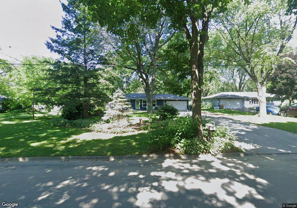
1602 Droster Rd Madison, WI 53716
Elvehjem NeighborhoodEstimated Value: $383,000 - $404,900
About This Home
This home is located at 1602 Droster Rd, Madison, WI 53716 and is currently estimated at $391,975, approximately $342 per square foot. 1602 Droster Rd is a home located in Dane County with nearby schools including Elvehjem Elementary School, Sennett Middle School, and La Follette High School.
Ownership History
We collect this data history from publicly available records. To have your information removed, we recommend requesting removal directly through your county’s website.
Purchase Details
Purchase Details
Home Financials for this Owner
Home Financials are based on the most recent Mortgage that was taken out on this home.Purchase Details
Home Financials for this Owner
Home Financials are based on the most recent Mortgage that was taken out on this home.Purchase Details
Home Financials for this Owner
Home Financials are based on the most recent Mortgage that was taken out on this home.Home Values in the Area
Average Home Value in this Area
Purchase History
We collect this data history from publicly available records. To have your information removed, we recommend requesting removal directly through your county’s website.
| Date | Buyer | Sale Price | Title Company |
|---|---|---|---|
| -- | None Available | ||
| $166,000 | None Available | ||
| $157,500 | None Available | ||
| $200,000 | None Available |
Mortgage History
We collect this data history from publicly available records. To have your information removed, we recommend requesting removal directly through your county’s website.
| Date | Status | Borrower | Loan Amount |
|---|---|---|---|
| Open | $132,800 | ||
| Previous Owner | $180,000 |
Tax History
We collect this data history from publicly available records. To have your information removed, we recommend requesting removal directly through your county’s website.
| Year | Tax Paid | Tax Assessment Tax Assessment Total Assessment is a certain percentage of the fair market value that is determined by local assessors to be the total taxable value of land and additions on the property. | Land | Improvement |
|---|---|---|---|---|
| 2025 | $6,868 | $387,700 | $120,700 | $267,000 |
| 2024 | $12,016 | $359,300 | $120,700 | $238,600 |
| 2023 | $5,581 | $328,100 | $110,200 | $217,900 |
| 2022 | $10,014 | $271,000 | $95,600 | $175,400 |
| 2021 | $4,767 | $239,800 | $95,600 | $144,200 |
| 2020 | $4,625 | $218,000 | $86,900 | $131,100 |
| 2019 | $4,430 | $209,600 | $83,600 | $126,000 |
| 2018 | $4,146 | $195,900 | $78,100 | $117,800 |
| 2017 | $4,136 | $186,600 | $78,100 | $108,500 |
| 2016 | $4,071 | $179,400 | $75,100 | $104,300 |
| 2015 | $3,972 | $167,500 | $75,100 | $92,400 |
| 2014 | $3,849 | $167,500 | $75,100 | $92,400 |
| 2013 | $3,968 | $167,500 | $75,100 | $92,400 |
Map
- 5313 Starker Ave Unit 1
- 1422 Ellen Ave
- 1210 Ellen Ave
- 1205 Ellen Ave
- 1117 Droster Rd
- 1101 Droster Rd
- 5911 Cottontail Trail
- 6043 Cottontail Trail
- 5710 Blacksmith Ln
- 1314 Manassas Trail
- 4802 Steinhauer Trail
- 10 Vienna Cir
- 5 Vienna Cir
- 4701 Starker Ave
- 5318 Kingsbridge Rd
- 6145 Dell Dr Unit 1
- 6167 Dell Dr Unit 3
- 5830 Oxbow Bend
- 1907-1909 Dondee Rd
- 4610 Steinhauer Trail
- 1518 Droster Rd
- 1606 Droster Rd
- 1514 Droster Rd
- 1601 Ellen Ave
- 1605 Ellen Ave
- 1517 Ellen Ave
- 1610 Droster Rd
- 1601 Droster Rd
- 1513 Ellen Ave
- 1605 Droster Rd
- 1517 Droster Rd
- 1510 Droster Rd
- 1609 Droster Rd
- 1513 Droster Rd
- 1613 Ellen Ave
- 1613 Droster Rd
- 1614 Droster Rd
- 1509 Droster Rd
- 1617 Ellen Ave
- 1617 Droster Rd
Ask me questions while you tour the home.