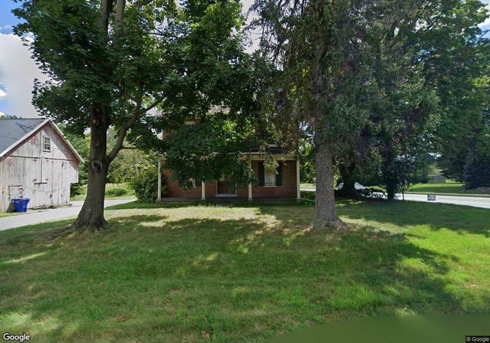
1602 Millport Rd Lancaster, PA 17602
Bridgeport NeighborhoodEstimated Value: $447,594 - $551,000
5
Beds
2
Baths
2,781
Sq Ft
$178/Sq Ft
Est. Value
About This Home
This home is located at 1602 Millport Rd, Lancaster, PA 17602 and is currently estimated at $493,899, approximately $177 per square foot. 1602 Millport Rd is a home located in Lancaster County with nearby schools including Lampeter Elementary School, Hans Herr Elementary School, and Martin Meylin Middle School.
Ownership History
Date
Name
Owned For
Owner Type
Purchase Details
Closed on
Dec 7, 2021
Sold by
Sumners Green Lp
Bought by
Millport Farm Llc
Current Estimated Value
Home Financials for this Owner
Home Financials are based on the most recent Mortgage that was taken out on this home.
Original Mortgage
$2,584,000
Outstanding Balance
$1,665,698
Interest Rate
3.09%
Mortgage Type
Future Advance Clause Open End Mortgage
Estimated Equity
-$1,171,799
Purchase Details
Closed on
Sep 6, 2005
Sold by
Loomis Rosemary
Bought by
Sumners Green Lp
Create a Home Valuation Report for This Property
The Home Valuation Report is an in-depth analysis detailing your home's value as well as a comparison with similar homes in the area
Home Values in the Area
Average Home Value in this Area
Purchase History
| Date | Buyer | Sale Price | Title Company |
|---|---|---|---|
| Millport Farm Llc | $250,000 | None Available | |
| Sumners Green Lp | $325,000 | -- |
Source: Public Records
Mortgage History
| Date | Status | Borrower | Loan Amount |
|---|---|---|---|
| Open | Millport Farm Llc | $2,584,000 |
Source: Public Records
Tax History
| Year | Tax Paid | Tax Assessment Tax Assessment Total Assessment is a certain percentage of the fair market value that is determined by local assessors to be the total taxable value of land and additions on the property. | Land | Improvement |
|---|---|---|---|---|
| 2025 | $5,965 | $269,600 | $65,700 | $203,900 |
| 2024 | $5,965 | $269,600 | $65,700 | $203,900 |
| 2023 | $5,833 | $269,600 | $65,700 | $203,900 |
| 2022 | $5,745 | $269,600 | $65,700 | $203,900 |
| 2021 | $5,610 | $269,600 | $65,700 | $203,900 |
| 2020 | $5,610 | $269,600 | $65,700 | $203,900 |
| 2019 | $5,533 | $269,600 | $65,700 | $203,900 |
| 2018 | $4,487 | $269,600 | $65,700 | $203,900 |
| 2017 | $6,552 | $260,200 | $44,300 | $215,900 |
| 2016 | $6,552 | $260,200 | $44,300 | $215,900 |
| 2015 | $1,284 | $260,200 | $44,300 | $215,900 |
| 2014 | $5,103 | $260,200 | $44,300 | $215,900 |
Source: Public Records
Map
Nearby Homes
- 806 Lightfoot Dr
- 257 Longfellow Dr
- 1829 Krystle Dr
- 133 Conestoga Blvd
- 8 White Tail Path
- 38 Conestoga Dr
- 32 Greenfield Rd
- 516 Conestoga Greenway Trail
- 647 S Franklin St
- 83 Highland Dr
- 2009 Millstream Rd
- 1036 E King St
- 47 Riverside Ave
- 352 Dohner Dr Unit 69
- 305 Greenland Dr Unit 385
- 225 Black Oak Dr
- 312 Laurel Oak Ln
- 464 S Ann St
- 980 E Orange St
- 911 E King St
- 1564 Millport Rd
- 1603 Millport Rd
- 1603 Millport Rd Unit D
- 1605 Millport Rd
- 807 E Jefferson Ct
- 809 E Jefferson Ct
- 1611 Millport Rd
- 805 E Jefferson Ct
- 751 Lampeter Rd
- 811 E Jefferson Ct
- 803 E Jefferson Ct
- 813 E Jefferson Ct
- 801 Kings Arms Ln
- 749 Lampeter Rd
- 1615 Millport Rd
- 815 E Jefferson Ct
- 805 Kings Arms Ln
- 812 E Jefferson Ct
- 1613 Millport Rd
- 817 E Jefferson Ct
Your Personal Tour Guide
Ask me questions while you tour the home.